209 résultats pour : cartographers
- Page
-
- sur
- 3
Connectez-vous pour plus de résultats
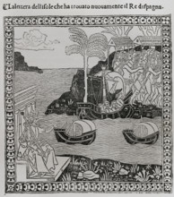
HRM26A25_258
Christopher Columbus, (1451-1506), Navigator, cart...
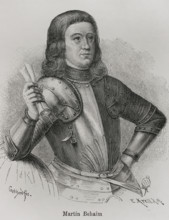
HRM26A26_179
Martin Behaim, (1459-1507), German textile merchan...

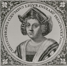
HRM26A26_197
Christopher Columbus, (1451-1506), Navigator, cart...
HRM26A26_196
Christopher Columbus, (1451-1506), Navigator, cart...

HRM26A26_198
Christopher Columbus, (1451-1506), Navigator, cart...

HRM26A26_195
Christopher Columbus, (1451-1506), Navigator, cart...
HRM26A21_109
Christopher Columbus, (1451-1506), Navigator, cart...

HRM26A20_241
Michael Servetus, (1511-1553), Spanish physician a...
HRM26A20_427
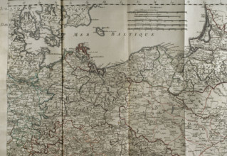
Map of the Baltic Sea coast, Prussia and Poland - ...
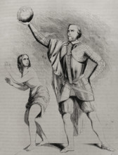
HRM26A02_436
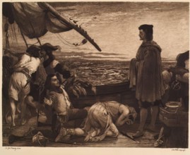
Dawn Revealing the New World to Columbus, (c1852),...
HRM26A06_087
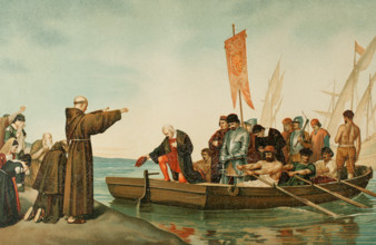
Departure of Columbus from the Port of Moguer on A...
HRM25A53_109
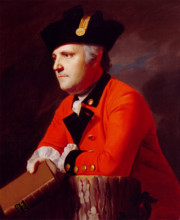
John Montresor, c1771. Creator: John Singleton Cop...
HRM25A56_090
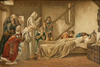
Death of Columbus, 1890. Creators: Juan Alaminos,...
HRM25A41_012
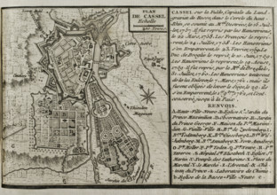
Seven Years War (1756-1763): Map of Cassel, 1757-1...
HRM25A41_021
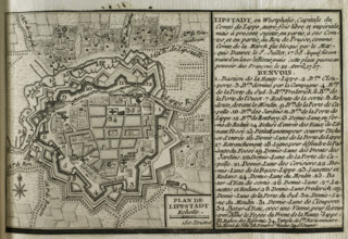
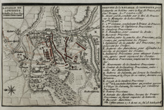
Map of Lippstadt (Germany), 1757-1758 (1765). Crea...
HRM25A41_011
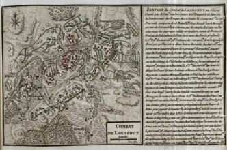
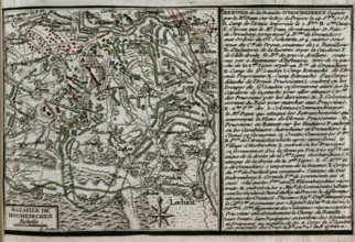
Map of the Battle of Landeshut (June 23, 1760), Se...
HRM25A41_022
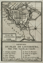
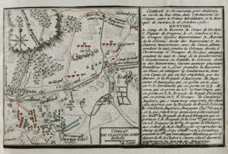
Map of Louisbourg, Nova Scotia, Canada, 1765. Cre...
HRM25A41_010
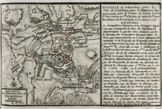
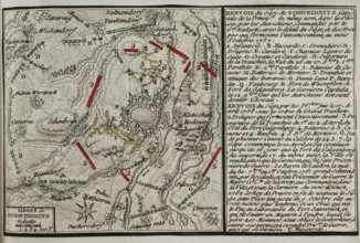
Seven Years War (1756-1763): Map of the Battle of ...
HRM25A41_019
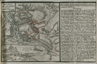
Seven Years War (1756-1763): Battle of Kunersdorf ...
HRM25A41_048
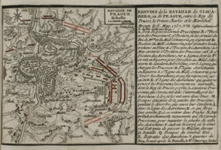
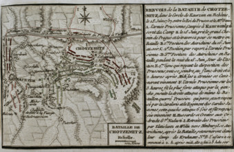
Seven Years War (1756-1763): Third Silesian War - ...
HRM25A41_009
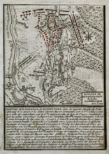
Seven Years War (1756-1763): Map of the Battle of ...
HRM25A41_020
Seven Years War (1756-1763): Third Silesian War - ...
HRM25A41_038
Seven Years War (1756-1763): Map of the Battle of ...
HRM25A41_047
Seven Years War (1756-1763): Third Silesian War - ...
HRM25A41_016
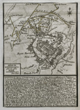
Seven Years War (1756-1763): Map of the Siege of C...
HRM25A41_025
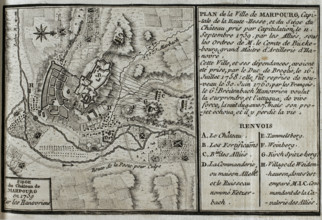
Seven Years War (1756-1763): Map of Marburg and si...
HRM25A40_497
Seven Years War (1756-1763): Map of the Battle of ...
HRM25A41_015
Seven Years War (1756-1763): Map of the Battle of ...
HRM25A41_026
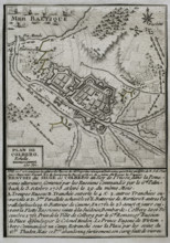
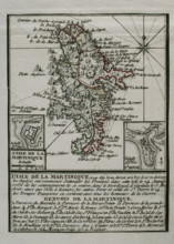
Martinique, 1762 (1765). Creator: Jean de Beaurai...
HRM25A41_014
Seven Years War (1756-1763): Map of the Battle of ...
HRM25A41_023
Seven Years War (1756-1763): Map of the Battle of ...
HRM25A41_024
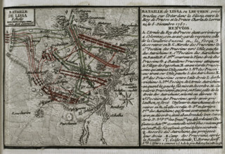
Seven Years War (1756-1763): Battle of Leuthen (5t...
HRM25A40_494
Seven Years War (1756-1763): Map of the Siege of A...
HRM25A41_003
Map of Germany showing war of 1755 to 1763 (Seven ...
HRM25A41_031
Seven Years War (1756-1763): Map of the Battle of ...
HRM25A41_042
Seven Years War (1756-1763): Battle of Saint-Cast ...
HRM25A41_049
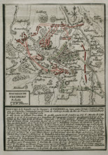
Seven Years War (1756-1763): Map of the Battle of ...
HRM25A41_004
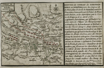
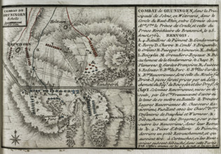
Seven Years War (1756-1763): Map of the Combat of ...
HRM25A41_032
Seven Years War (1756-1763): Map of Mittel Peile, ...
HRM25A41_041
Seven Years War (1756-1763): Map of the Battle of ...
HRM25A41_050
Seven Years War (1756-1763): Map of the Battle of ...
HRM25A40_496
Seven Years War (1756-1763): Map of capture of Bel...
HRM25A41_005
Seven Years War (1756-1763): Map of the Battle of ...
HRM25A41_018
Seven Years War (1756-1763): Plan of the Battle of...
HRM25A41_029
Seven Years War (1756-1763): Map of the Russian bo...
HRM25A41_040
Seven Years War (1756-1763): Map of the Battle of ...
HRM25A41_051
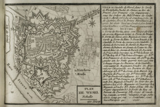
Plan of Wesel and its citadel, North Rhine-Westpha...
HRM25A40_495
Seven Years War (1756-1763): Map of the fortress o...
HRM25A41_017
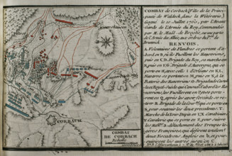
Seven Years War (1756-1763): Map of Battle of Corb...
HRM25A41_028
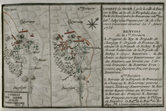
Seven Years War (1756-1763): Combat of Mehr (Augus...
HRM25A41_030
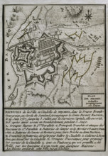
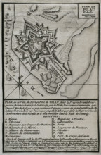
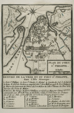
Map of Fort of St Philip (Castle of San Felipe), M...
HRM25A41_052
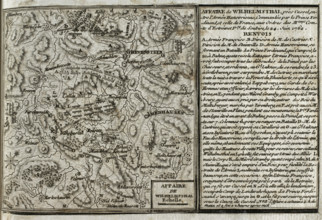
Seven Years War (1756-1763): Battle of Wilhelmstha...
HRM25A40_499
Seven Years War (1756-1763): Map of the rising of ...
HRM25A41_035
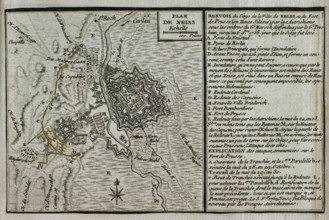
Map of the siege of the town of Neisse by General ...
HRM25A41_053
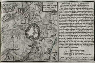
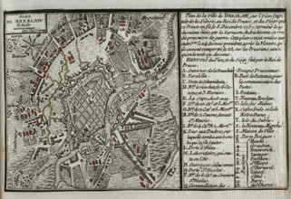
Seven Years War (1756-1763): Map of Breslau and th...
HRM25A40_500
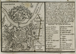
Seven Years War (1756-1763): Map of Dresden, 1760 ...
HRM25A41_036
Seven Years War (1756-1763): Map of the Siege of O...
HRM25A41_045
Seven Years War (1756-1763): Pomeranian War - Map ...
HRM25A41_054
Seven Years War (1756-1763): Third Silesian War - ...
HRM25A41_001
Map of Dusseldorf, 1758 (1765). Creator: Jean de B...
HRM25A41_033
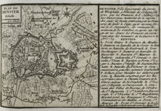
Seven Years War (1756-1763): Plan of Münster, 1759...
HRM25A41_044
Seven Years War (1756-1763): Map of the Battle of ...
HRM25A41_002
Seven Years War (1756-1763): Third Silesian War - ...
HRM25A41_034
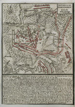
Seven Years War (1756-1763): Map of the Combat of ...
HRM25A41_043
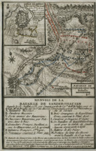
Plan of the Battle of Sandershausen, Germany (July...
HRM25A23_377
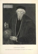
Sebastian Cabot in old age, c1474, (1869). Creator...
HRM25A15_416
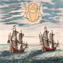
Two Dutch ships at sea, 17th century. The Dutch ca...
HRM25A14_277
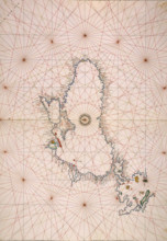
Map of the Black Sea coastline, 1536. The coast of...
HRM24A37_279
Portuguese Airmen Sacadura Cabral and Gago Coutinh...
HRM24A00_045
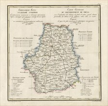
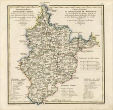
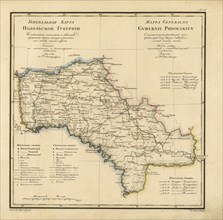
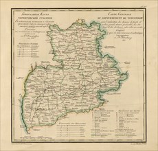
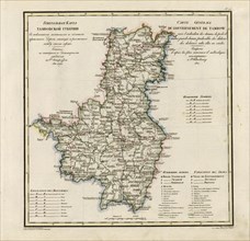
General Map of Tula Province: Showing Postal and M...
HRM24A00_056
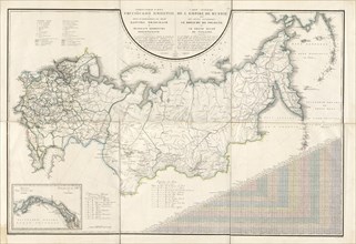
General Map of the Russian Empire and the Neighbor...
HRM24A00_046
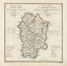
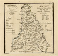
General Map of Ryazan Province: Showing Postal and...
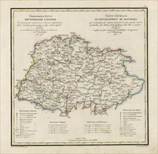
HRM24A00_055
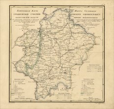
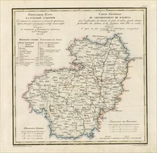
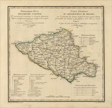
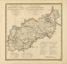
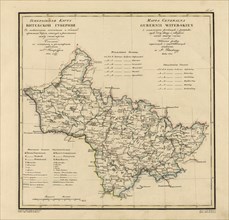
General Map of Voronezh Province: Showing Postal a...
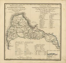
HRM24A00_047
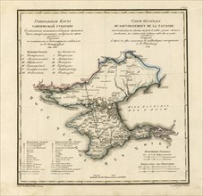
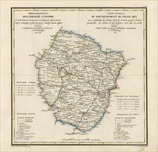
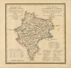
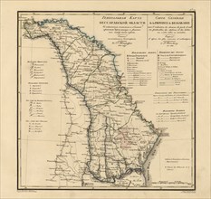
General Map of Taurida Province: Showing Postal an...
HRM24A00_058
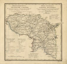
General Map of Grodno Province and the Belostok Re...
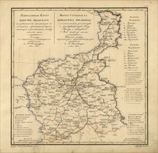
HRM24A00_048
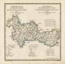
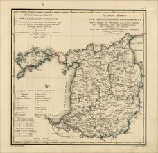
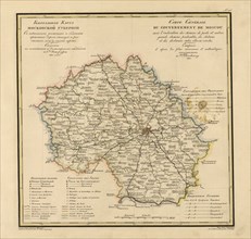
General Map of Orel Province: Showing Postal and M...
HRM24A00_057
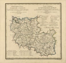
General Map of Podolsk Province: Showing Postal an...
![North America divided into its III principall [sic] parts, 1685. Creator: Philip Lea.](https://lres.photo12.com/th/t-hrm24a00_024.jpg)
HRM24A00_024
North America divided into its III principall [sic...
HRM24A00_049
General Map of Kostroma Province: Showing Postal a...
HRM24A00_060
General Map of Courland Province: Showing Postal a...
HRM24A00_050
General Map of the Polish Empire: Showing Postal a...
HRM24A00_059
General Map of Vilnius Province: Showing Postal an...
HRM24A00_044
General Map of Kaluga Province: Showing Postal and...

HRM24A00_051
General Map of Kursk Province: Showing Postal and ...
HRM24A00_062
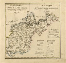
General Map of Saint Petersburg Province: Showing ...
HRM24A00_034
General Map of Pskov Province: Showing Postal and ...
HRM24A00_043
General Map of Poltava Province: Showing Postal an...
HRM24A00_052
General Map of Yaroslavl Province: Showing Postal ...
HRM24A00_061
General Map of Livland Province: Showing Postal an...
HRM24A00_031
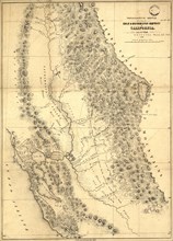
Topographical sketch of the gold & quicksilver dis...
HRM24A00_042
General Map of Chernigov Province: Showing Postal ...

HRM24A00_053
General Map of Vladimir Province: Showing Postal a...
HRM24A00_064
General Map of Minsk Province: Showing Postal and ...
HRM24A00_066
General Map of Novgorod Province: Showing Postal a...
HRM24A00_041
General Map of Moscow Province: Showing Postal and...
HRM24A00_054
General Map of Tambov Province: Showing Postal and...
HRM24A00_063
General Map of Vitebsk Province: Showing Postal an...
HRM24A00_065
General Map of Bessarabia: Showing Postal and Majo...
HRM24A00_040
General Map of Moscow Province: Showing Postal and...
HRM24A00_068
General Map of Kharkiv Province: Showing Postal an...
- Page
-
- sur
- 3