69 résultats pour : maps cities
- Page
-
- sur
- 1
Connectez-vous pour plus de résultats
LZT20A47_130
Map, A new map of Libya or old Africk shewing its ...
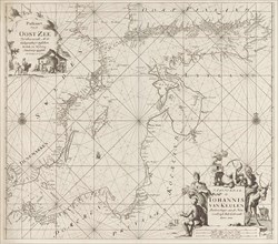
LZT19B50_002
Johannes de Vou, Colored print, with frame, map of...
LZT19B50_004
Johannes de Vou, Colored print, with frame, map of...

LZT19B56_362
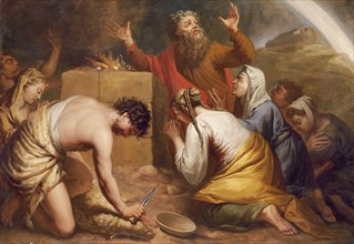
Elias van Nijmegen, Biblical representation: Abime...
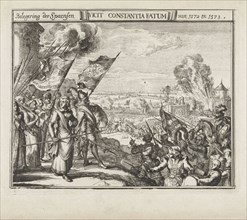
LZT19B56_329
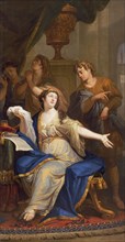
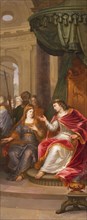
Elias van Nijmegen, Esther receives the command of...

LZT19B56_365
Elias van Nijmegen, Naomi, Ruth and Orpa, wallpape...
LZT19B56_363
Elias van Nijmegen, Laban with Jacob, wallpaper pa...

LZT19B56_367
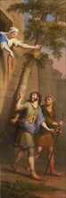
Elias van Nijmegen, Eliezer for Betuël, wallpaper ...
LZT19B46_447
Johannes de Vou, Colored print, without frame, Rot...

LZT19B56_369
Elias van Nijmegen, Abigael for David, wallpaper p...
LZT19B56_368
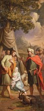
Elias van Nijmegen, Bathsheba asks Solomon to cons...
LZT19B56_371
Elias van Nijmegen, Spy escape from Jericho, wallp...
LZT19B56_330
Elias van Nijmegen, God's covenant with Noah, wall...
LZT19B46_109
Bill on the conquest of Rijnberk by Prince Maurits...
LZT19B32_411
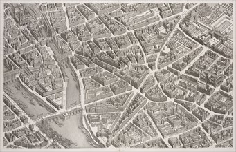
View of the Pont Neuf and Left Bank, 1739, Plan de...
LZT19B32_122
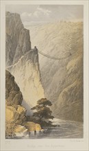
Bridge over the Apurimac, Cuzco: a journey to the ...

LZT19B36_085
Map of Mexico City, Delle navigationi et viaggi, R...
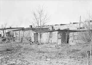
LZT16A06_089
Lancaster, Pennsylvania - Housing. Barney Google R...
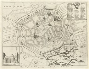
LZT16A28_346
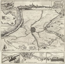
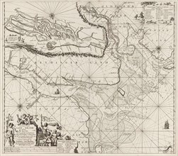
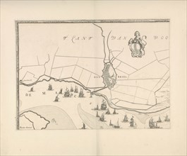
Map of Groningen during the siege, 1594, The Nethe...
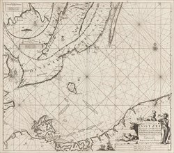
LZT16A27_421
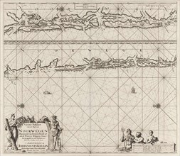
Sea chart of the southern part of the Baltic Sea, ...
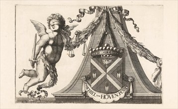
LZT16A29_387
Coat of arms of Michiel ten Hove, Romeyn de Hooghe...
LZT16A32_105
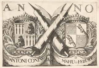
Coat of arms of Antoni Coning (mayor of Haarlem?) ...
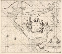
LZT16A27_449
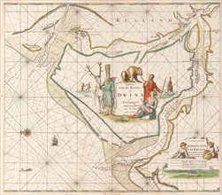
Sea chart of the Northern Dvina River, Jan Luyken,...
LZT16A32_101
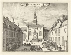
View of the New Church in Haarlem, The Netherlands...
LZT16A39_361
Siege and conquest of Hulst by the military forces...
LZT16A29_389
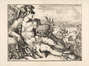
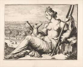
Mercury, Romeyn de Hooghe, 1688 - 1689
LZT16A27_341
Sea chart of a portion of the northeast coast of B...
LZT16A32_102
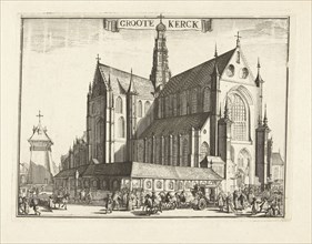
View of the Grote Kerk, Haarlem, Netherlands, Rome...
LZT16A29_388
Diana, Romeyn de Hooghe, 1688-1689
LZT16A33_236
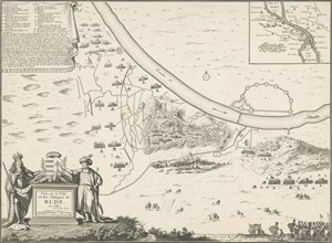
Map of Buda, 1686, Harmanus van Loon, Lodewijk XIV...
LZT16A39_340
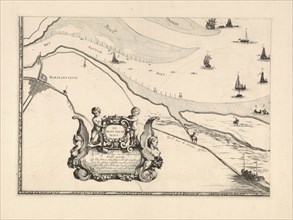
Map of Maassluis and the banks of the Meuse, The N...
LZT16A32_108
Part of the plan of Haarlem, The Netherlands, Rome...
LZT16A27_434
Sea chart of part of the Elbe, the Weser and Jadeb...
LZT16A29_385
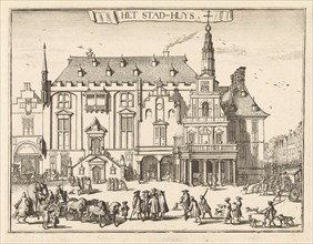
View of the city hall in Haarlem, The Netherlands,...
LZT16A37_337
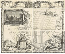
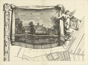
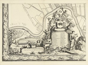
Map of the heerlijkheid Maarsseveen, The Netherlan...
LZT16A39_341
Map of Brielle and the banks of the Meuse, The Net...
LZT16A32_103
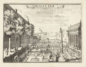
View of the Prinsenhof in Haarlem, The Netherlands...
LZT16A25_302
Map of the heerlijkheid Maarsseveen, The Netherlan...
LZT16A31_487
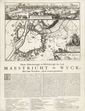
Siege of Maastricht, 1676, The Netherlands, Anonym...
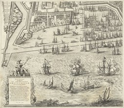
LZT16A33_087
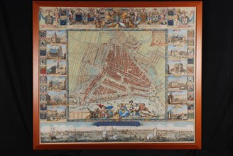
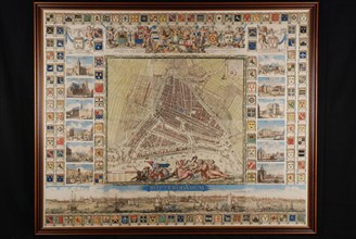
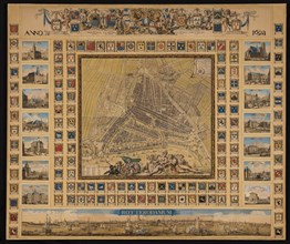
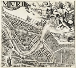
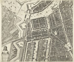
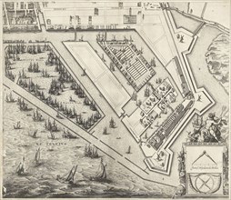
Map of Amsterdam (leaf middle left), 1625, The Net...
LZT16A29_386
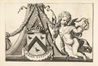
Coat of arms of Jacob Steyn, Romeyn de Hooghe, 168...
LZT16A27_466
Sea chart of the Northern Dvina River, Russia, Jan...
LZT16A32_104
Plankenau Hasselaer on the Haarlem ramparts, 1573,...
LZT16A33_088
Map of Amsterdam (leaf right), 1625, The Netherlan...
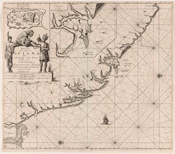
LZT16A27_367
Sea chart of the coast of French Guiana, Jan Luyke...
LZT16A27_422
Sea chart of the Baltic Sea from Rostock to Vyborg...
LZT16A33_086
Map of Amsterdam, The Netherlands, leaf left, 1625...
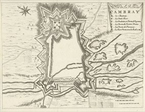
LZT16A27_089
Map of Cambrai (Cambrai), 1673-1686, France, Jan L...
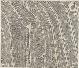
LZT16A37_343
Map of Amsterdam (middle leaves), 1625, The Nether...
LZT16A27_427
Sea chart of part of the coast of Norway near Berg...
LZT16A31_111
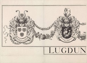
Coat of arms Leiden with the weapons of the mayors...
LZT16A33_085
Map of Amsterdam (leaf right), 1625, The Netherlan...
LZT16A28_218
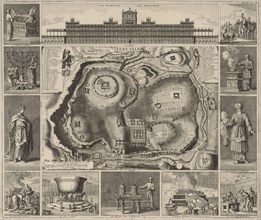
Jerusalem Map with around twelve images, Jan Luyke...
LZT16A27_077
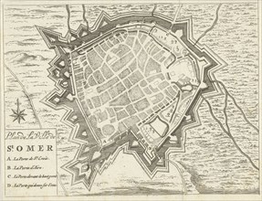
Map of Saint-Omer, 1673-1686, France, Jan Luyken, ...
LZT16A32_107
Part of the plan of Haarlem, The Netherlands, Rome...
LZT16A29_384
View of the men's hostel in Haarlem, The Netherlan...
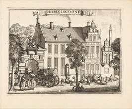
LZT16A29_330
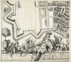
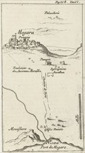
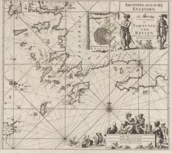
Map of Megara, Jan Luyken, Hendrick and Dirk Boom,...
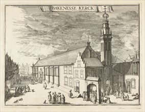
LZT16A32_100
View of the Bakenesserkerk Haarlem, The Netherland...
LZT16A32_106
Part of the plan of Haarlem, The Netherlands, Rome...
LZT16A33_089
Map of Amsterdam (leaf top center), 1625, The Neth...
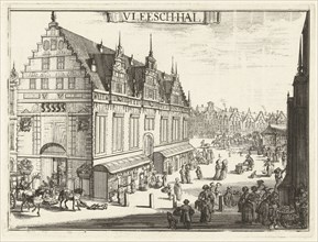
LZT16A32_099
View of the Vleeshal Haarlem, The Netherlands, Rom...
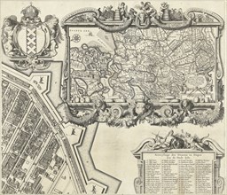
LZT16A25_300
Map of the heerlijkheid Maarsseveen, The Netherlan...
LZT16A27_369
Sea chart of the southeastern part of the Aegean S...
LZT16A25_301
Map of the heerlijkheid Maarsseveen, The Netherlan...
LZT16A29_383
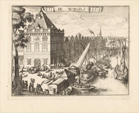
View of the Waag in Haarlem, Romeyn de Hooghe, 168...
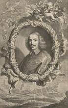
LZT16A24_207
Portrait of Cardinal Giacomo Rospigliosi, Richard ...
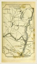
LZT16A62_163
Ballston and Saratoga Springs, City of Albany, A G...
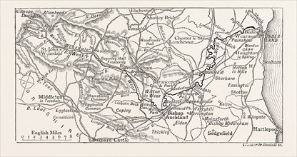
LZT13A34_236
MAP OF THE COURSE OF THE WEAR, in North East Engla...
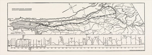
LZT13A36_348