Légende
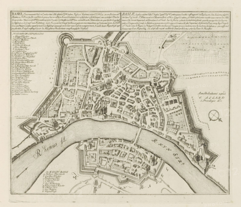
Basel, the principal city in Switzerland the capital of the 9th canton, Map of Basel (Basel), The Principal Fortifications & Fortified Cities of Spain, France, Italy, Savoy, Germany & the Netherlands, Accurate Illustrations of the Principal Strong Cities and Fortresses in Spain, Germany and the Netherlands, print, album page, map, Map of the Swiss city of Basel (Basel), situated on the Rhine. With texts in Dutch and French., printmaker: Abraham Allard, Amsterdam, printmaker: Carel Allard, publisher: Pieter van der Aa (I), Leiden, grantor of privilege: States of Holland and West Friesland, 1701 - 1733, paper, etching, height 240 mm x width 275 mm, maps of cities, War of Spanish Succession, Period, 1701 - 1713, An aged, detailed bird's-eye map printed in dark ink on light paper showing a fortified riverside town with walls, bastions, and gates, a wide meandering river flowing through the scene with textured wavy lines to indicate water, dense clusters of small building illustrations with pitched roofs and church spires arranged along a network of streets, geometric garden and field plots outside the walls, a compass rose near the right edge, a list of labeled entries in a column at the left margin, framed descriptive text panels across the top, and finely hatched shading and architectural ornamentation throughout.
Crédit
Photo12/Liszt Collection
Notre référence
LZT26B29_149
Licence
Droits gérés
Format disponible
54.9Mo (11.9Mo) / 40.0cm x 34.4cm / 4722 x 4061 (300dpi)