Légende
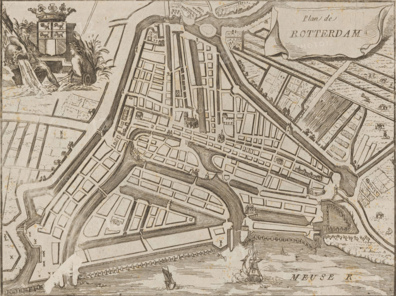
Map of Rotterdam, Plan de Rotterdam, area plan, print, 1650 - 1700, printmaker, paper, etching, engraving, height 158 mm x width 196 mm, maps of cities, Rotterdam, A monochrome engraved bird's-eye view of a walled port city showing a network of straight and curved canals and streets with rectangular and irregular blocks, bridges crossing waterways, small towered buildings and churches scattered among the blocks, and ships with sails and masts in the river at the bottom; in the upper left a decorative cartouche depicts two seated bearded male figures with flowing drapery beside a shield topped by a crown, and in the upper right a large flowing banner occupies open land near patterned fields and embankments.
Crédit
Photo12/Liszt Collection
Notre référence
LZT26B32_307
Licence
Droits gérés
Format disponible
47.5Mo (12.5Mo) / 39.9cm x 29.8cm / 4709 x 3523 (300dpi)