Légende
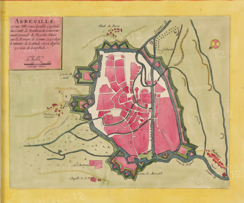
Abbeville is a considerable city, capital of the County of Ponthieu, Map of Abbeville, area plan, print, album page, This print is part of an album., printmaker, colorer (graphic design artist), The Hague, paper, engraving, etching, hand coloring, etching and engraving, hand-colored, cut within the plate edge and pasted onto an album page within a hand-colored frame, height 211 mm x width 268 mm, height 532 mm x width 318 mm, This map was used in, among others: Les forces de l'Europe. Paris: Nicolas de Fer, 1690-1695, and in: Les forces de l'Europe. 10 vols. Amsterdam: Pieter Mortier, ca. 1700., maps of cities, Abbeville, A colored map fragment showing a fortified town with irregular star-shaped outer walls and bastions shaded in green and outlined in dark ink, an inner area filled with contiguous blocks of pink shapes representing buildings divided by white streets, and a river with dark blue winding channels flowing along and through the town. The surrounding landscape is pale beige with scattered small tree symbols and a few clusters of tiny pink building markers outside the walls, connected by faint beige roads. A decorative rectangular inset with a solid pink panel appears near the top left, and a round compass-like symbol with divided colored quadrants is visible near the top right. The map is bordered by a wide yellow margin and shows detailed pen-and-ink hatching and watercolor shading on fortifications, waterways, and terrain.
Crédit
Photo12/Liszt Collection
Notre référence
LZT26B23_400
Licence
Droits gérés
Format disponible
34.9Mo (7.8Mo) / 32.4cm x 27.0cm / 3828 x 3186 (300dpi)