Légende
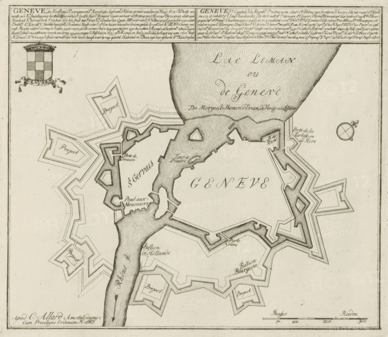
Map of Geneva, Geneva, the capital of the aforementioned Republics, Les Principales Forteresses & Villes Fortes, d'Espagne, de France, d'Italie, de Savoie, d'Allemagne & des Païs-Bas, Accurate Illustrations of the Main Strong Cities and Fortresses in Spain, France, Italy, Savoy, Germany and the Netherlands, print, album page, map, Map of the fortifications around the city of Geneva. With texts in Dutch and French., printmaker: Abraham Allard, Amsterdam, printmaker: Carel Allard, publisher: Carel Allard, publisher: Pieter van der Aa (I), Leiden, grantor of privilege: States of Holland and West Friesland, 1701 - 1733, Abraham Allard, Carel Allard, Pieter van der Aa (I), States of Holland and West Friesland, publisher, grantor of privilege, paper, etching, height 237 mm x width 274 mm, fortifications, military engineering, maps of cities, War of Spanish Succession, Period, 1701 - 1713, A detailed black and white map segment showing a shoreline with a textured body of water and a fortified city layout with star-shaped bastions and angular defensive walls. Handwritten-style labels appear at various locations on the map, and small rectangular areas inside some bastions are labeled. A shield-like crest with a checkered pattern and decorative ribbon is drawn near the top left. A circular compass rose is visible near the top right. A river flows vertically through the left side with textured shading and narrow bridges connecting to the fortifications. A scale bar is drawn along the bottom edge. Fine hatching and stippling are used for shading and topographic texture throughout.
Crédit
Photo12/Liszt Collection
Notre référence
LZT26B29_144
Licence
Droits gérés
Format disponible
47.0Mo (9.2Mo) / 36.8cm x 32.0cm / 4348 x 3782 (300dpi)