Légende
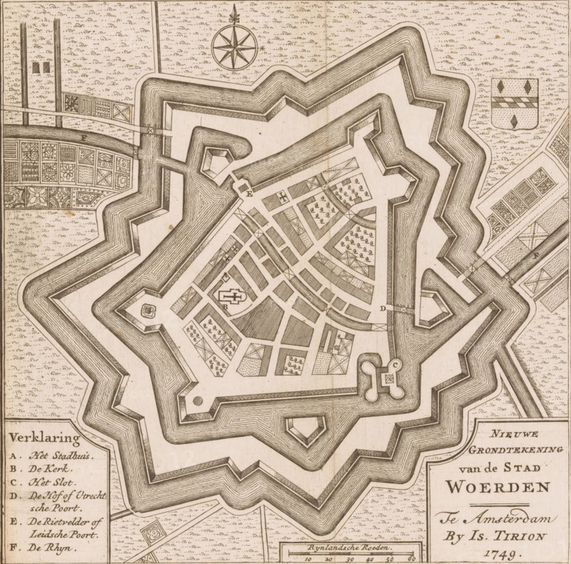
New Ground Plan of the City of Woerden, Map of Woerden, area plan, print, book illustration, printmaker, publisher, Amsterdam, paper, etching, height 181 mm x width 175 mm, Print also appeared in: Concise Atlas of About One Hundred Plans of Europe. Amsterdam: Compagnie van boekverkopers, after 1780., maps of cities, Woerden, A sepia-toned plan view of a star-shaped fortification with layered angular ramparts and a surrounding moat, showing an interior grid of streets and various rectangular and triangular parcels filled with patterned hatchings and small tree-like symbols, several small geometric bastions and gateways, a circular compass rose near the top, decorative patterned garden plots outside the fort, a shield-shaped coat of arms to the right, and a rectangular legend box partially visible at the lower left and lower right edges.
Crédit
Photo12/Liszt Collection
Notre référence
LZT26B32_328
Licence
Droits gérés
Format disponible
50.8Mo (5.5Mo) / 35.9cm x 35.5cm / 4240 x 4188 (300dpi)