Légende
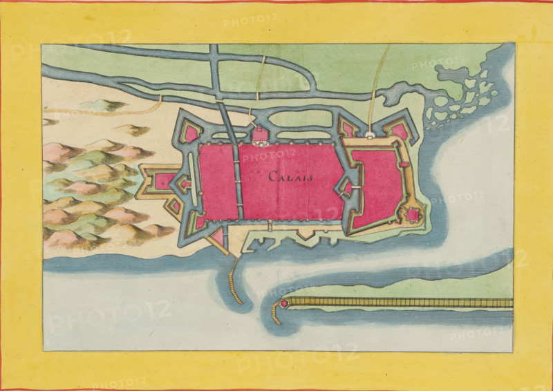
Fortress map of Calais, Calais, area plan, print, album page, This print is part of an album., after design by Matthäus Merian (II), publisher: Caspar Merian, Frankfurt am Main, colorer (graphic design artist): Anna Beeck, The Hague, 1656, printmaker, colorer (graphic design artist), Hessen, paper, engraving, etching, hand coloring, height 185 mm x width 282 mm, height 532 mm x width 317 mm, Card from: Zeiller, vol. 2, after p. 18., maps of cities, A hand-colored map fragment showing a fortified town with geometric bastions in bright pink and outlined defenses in blue and green, surrounded by waterways and a pale yellow border; a sandy area with stylized low hills in muted greens, pinks, and browns appears to the left, while a textured blue sea with irregular lighter patches runs along the right and bottom edges; narrow channels and bridges connect the fortifications, and a long pier or breakwater extends into the water from the lower right, ending in a small circular fortification.
Crédit
Photo12/Liszt Collection
Notre référence
LZT26B23_405
Licence
Droits gérés
Format disponible
36.2Mo (8.6Mo) / 35.8cm x 25.3cm / 4225 x 2994 (300dpi)