Légende
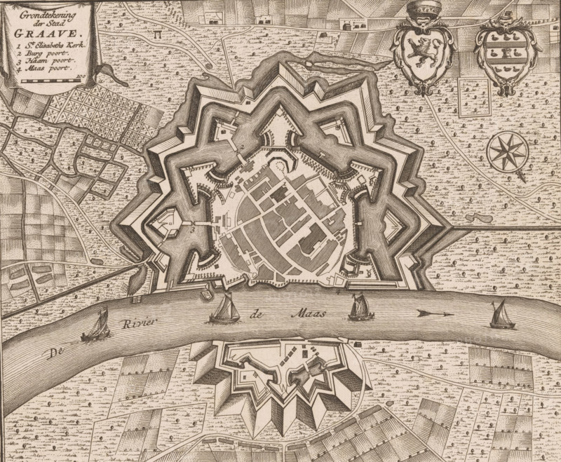
Map of Grave, Ground plan of the city of Graave, area plan, print, book illustration, publisher: Isaak Tirion, Amsterdam, 1740, printmaker, paper, engraving, etching, height 174 mm x width 205 mm, An aerial view of a star-shaped fortified town with angular bastions and layered defensive walls surrounded by patterned fields and textured land, a wide river crossing the scene with sailing boats on its water, a smaller detached fortress below the river mirroring the star design, a network of streets and clustered buildings within the main fortress, decorative shields and an eight-pointed compass rose near the top, a rectangular inset map area and a cartouche with ornamental edging at the upper corner, and scattered small trees and pathways across the surrounding landscape.
Crédit
Photo12/Liszt Collection
Notre référence
LZT26B32_324
Licence
Droits gérés
Format disponible
57.5Mo (8.7Mo) / 41.8cm x 34.5cm / 4939 x 4071 (300dpi)