Légende
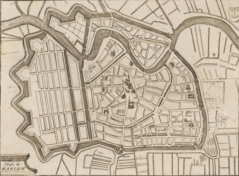
Map of Haarlem, Plan de Harlem, area plan, print, 1650 - 1750, printmaker, paper, etching, height 157 mm x width 199 mm, maps of cities, Haarlem, A monochrome engraved map showing an enclosed town with angular fortifications and surrounding water channels, featuring a network of streets and blocks laid out in geometric patterns, curved waterways cutting through the center, bridges spanning the rivers, and small pictorial buildings scattered within the street grid, with radiating field plots and linear agricultural areas outside the defensive walls.
Crédit
Photo12/Liszt Collection
Notre référence
LZT26B32_262
Licence
Droits gérés
Format disponible
47.5Mo (12.5Mo) / 40.2cm x 29.6cm / 4744 x 3500 (300dpi)