Légende
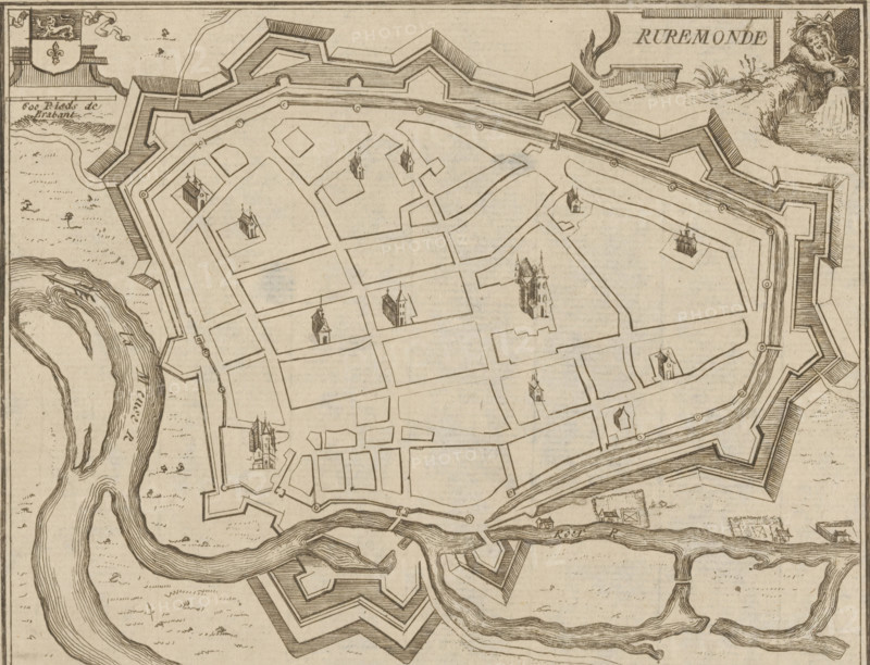
Map of Roermond, Ruremonde, area plan, print, printmaker: Jacobus Harrewijn (possibly), 1700 - 1750, paper, etching, height 155 mm x width 194 mm, maps of cities, Roermond (Limburg), A sepia-toned engraved map view of a fortified town surrounded by angular bastioned walls and moats, showing a grid of streets and rectangular blocks with small illustrated church-like buildings at various locations; a winding river borders part of the town with detailed contour lines indicating water flow; decorative cartouche elements and a reclining lion figure appear near the top corner; the engraving includes hachured shading on the fortifications and textured areas indicating fields or open ground outside the walls.
Crédit
Photo12/Liszt Collection
Notre référence
LZT26B32_385
Licence
Droits gérés
Format disponible
47.8Mo (5.9Mo) / 39.6cm x 30.3cm / 4673 x 3575 (300dpi)