Légende
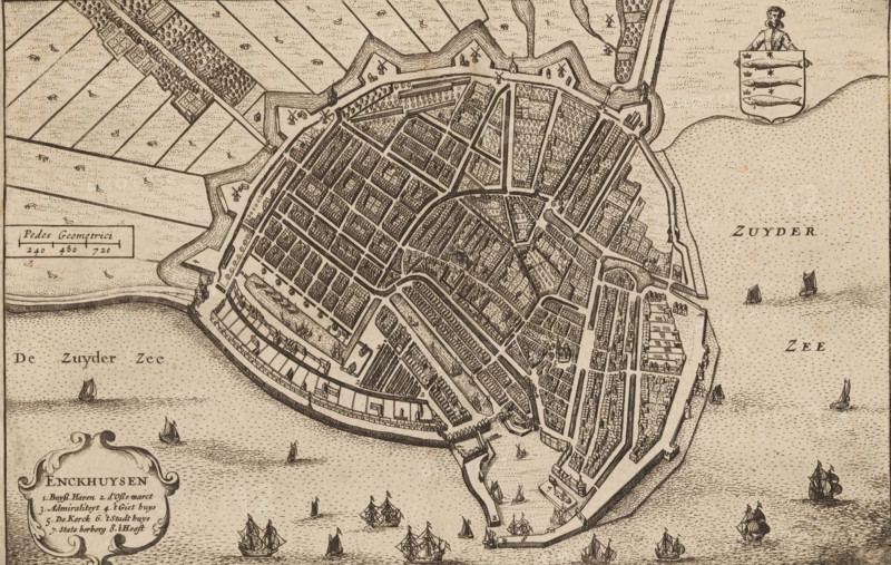
Map of Enkhuizen, Enckhuysen, area plan, print, book illustration, inscription: 'Enckhuijsen is a city in Holland situated on the ... or inlet of the Zuiderzee towards Friesland, 3 miles from Horn is a good city this city of Enckhuysen is the principal maritime city in Holland, ', publisher: Henricus Hondius, Amsterdam, 1632, printmaker, paper, etching, height 151 mm x width 231 mm, A detailed bird's-eye view of a fortified town with a jagged outer wall and bastions surrounded by water, showing a dense pattern of streets and rectangular blocks filled with closely packed buildings, open plots, and tree-lined areas; narrow canals and docks run along the waterfront, where numerous sailing ships and smaller boats float on a textured sea, and a few windmills and small structures appear outside the walls among patchwork fields.
Crédit
Photo12/Liszt Collection
Notre référence
LZT26B33_203
Licence
Droits gérés
Format disponible
58.1Mo (8.0Mo) / 47.9cm x 30.4cm / 5657 x 3590 (300dpi)