Légende
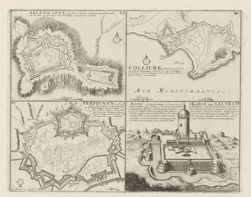
Cities and a castle in the county of Roussillon, Belle-Garde, Colliure, Perpignan, the Castle of Salses, Les Principales Forteresses & Villes Fortes, d'Espagne, de France, d'Italie, de Savoie, d'Allemagne & des Païs-Bas, Accurate Illustrations of the Main Strong Cities and Fortresses in Spain, France, Italy, Savoy, Germany and the Netherlands, print, album page, map, Representation with four maps of cities and a castle in the county of Roussillon in the south of France. With texts in Dutch and French., printmaker: Abraham Allard, Amsterdam, printmaker: Carel Allard, publisher: Carel Allard, publisher: Pieter van der Aa (I), Leiden, grantor of privilege: States of Holland and West Friesland, 1701 - 1733, Abraham Allard, Carel Allard, Pieter van der Aa (I), States of Holland and West Friesland, publisher, grantor of privilege, paper, etching, height 219 mm x width 280 mm, fortifications, military engineering, maps of cities, War of Spanish Succession, Southern France, Collioure, Bellegarde, Salses-le-Château, Languedoc-Roussillon, Period, 1701 - 1713, The image shows a detailed engraved map sheet divided into four panels featuring bird’s-eye plans and a perspective view of fortified towns and a coastal fortress, with intricate line work depicting ramparts, bastions, walls, streets, and clustered building footprints, surrounding terrain indicated by hatch shading and grassy textures, a shoreline with rocks and a harbor area, compass roses, scale bars, and decorative cartographic elements, and a view of a castle with rounded towers, curtain walls, inner courtyard features, and distant hills, all rendered in monochrome ink on aged paper.
Crédit
Photo12/Liszt Collection
Notre référence
LZT26B29_173
Licence
Droits gérés
Format disponible
50.9Mo (11.2Mo) / 40.3cm x 31.7cm / 4754 x 3743 (300dpi)