Légende
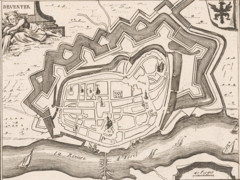
Fortification map of Deventer, Deventer, area plan, print, Top left a river god. Top right the city coat of arms., c. 1650 - c. 1700, printmaker, paper, etching, height 156 mm x width 199 mm, maps of cities, fortified city, An engraved plan of a fortified town with concentric star-shaped ramparts and moats, streets and blocks drawn inside the walls, several church steeples and small building outlines marked within the urban grid, boats and ships shown on a wide river at the bottom edge with flowing ripple lines, a small cluster of masts or piles projecting into the river, a reclining allegorical figure in the upper left resting beside an architectural element, and a heraldic eagle on a shield in the upper right.
Crédit
Photo12/Liszt Collection
Notre référence
LZT26B32_481
Licence
Droits gérés
Format disponible
46.2Mo (6.4Mo) / 39.3cm x 29.5cm / 4642 x 3479 (300dpi)