Légende
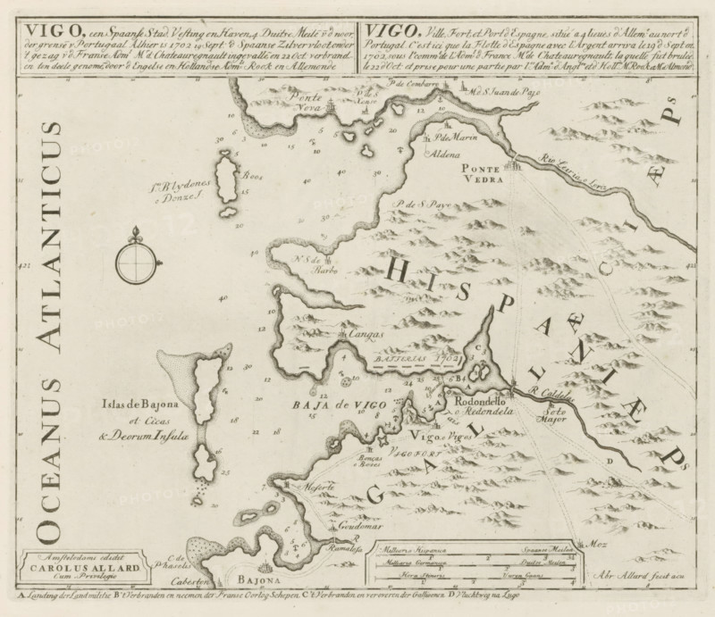
Vigo, a Spanish city, fortress and port, Here, September 19, 1702, the Spanish Silver Fleet invaded and was burned on October 22, Les Principales Forteresses & Villes Fortes, d'Espagne, de France, d'Italie, de Savoy, d'Allemagne & des Païs-Bas, Accurate Illustrations of the Main Strong Cities and Fortresses in Spain, France, Italy, Savoy, Germany and the Netherlands, print, album page, map, historical print, Map of Vigo, with texts in Dutch, French and Latin., printmaker: Abraham Allard, Amsterdam, publisher: Carel Allard, publisher: Pieter van der Aa (I), Leiden, grantor of privilege: States of Holland and West Friesland, 1702 - 1733, Abraham Allard, Carel Allard, Pieter van der Aa (I), States of Holland and West Friesland, printmaker, publisher, grantor of privilege, paper, etching, height 233 mm x width 277 mm, maps of separate countries or regions, Naval Battle in the Bay of Vigo, Galicia, Period, 1702-10-23, A sepia-toned vintage map segment showing a coastal region with irregular shorelines, islands, bays, and peninsulas, rendered with hand-drawn coastline shading and stippling; mountainous terrain indicated by clustered small hill and peak illustrations inland; various small line-drawn harbor and town icons along the coast; a circular compass rose with a decorative fleur motif near the left center; dashed and dotted lines across water suggesting routes or depths; numerous small numeric markers scattered over water and land; boxed cartouche and scale panel near the bottom with framed borders; decorative borderlines along the top and sides.
Crédit
Photo12/Liszt Collection
Notre référence
LZT26B29_153
Licence
Droits gérés
Format disponible
50.1Mo (9.7Mo) / 38.1cm x 32.9cm / 4499 x 3889 (300dpi)