465 résultats pour : mapmaking
- Page
-
- sur
- 5
Connectez-vous pour plus de résultats
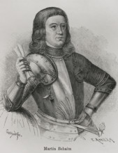
HRM26A26_179
Martin Behaim, (1459-1507), German textile merchan...
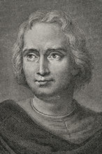
HRM26A26_197
Christopher Columbus, (1451-1506), Navigator, cart...
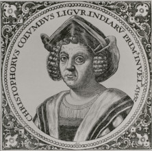
HRM26A26_196
Christopher Columbus, (1451-1506), Navigator, cart...

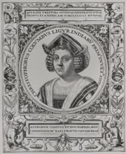
HRM26A26_198
Christopher Columbus, (1451-1506), Navigator, cart...
HRM26A26_195
Christopher Columbus, (1451-1506), Navigator, cart...
HRM26A21_109
Christopher Columbus, (1451-1506), Navigator, cart...

HRM26A13_311
The Geographer, 1669. Creator: Jan Vermeer.
HRM26A20_241
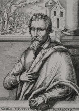
Michael Servetus, (1511-1553), Spanish physician a...
HRM26A20_427
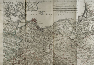
Map of the Baltic Sea coast, Prussia and Poland - ...
HRM26A02_379
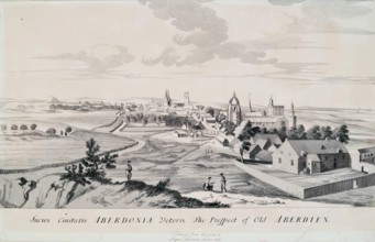
The Prospect of Old Aberdeen, 1814. Creator: Unkno...
HRM26A06_150
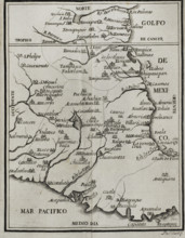
Map of the territory of New Spain, 1771. Creator:...
HRM26A02_436
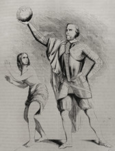
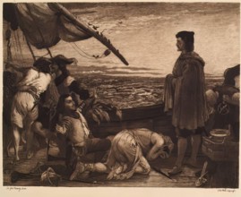
Dawn Revealing the New World to Columbus, (c1852),...
HRM26A00_269
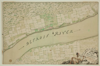
Fort Detroit and Its Environs, between 1763 and 17...

HRM25A55_110
Tourist Map of the New Forest and District, c1900....
HRM25A53_109
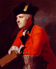
John Montresor, c1771. Creator: John Singleton Cop...
HRM25A55_042
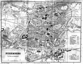
City Map - Nuremberg, 1900. Creator: Unknown.
HRM25A56_090
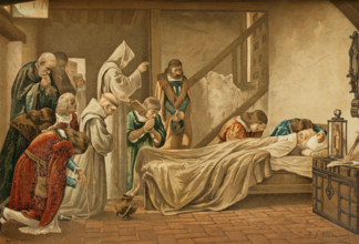
Death of Columbus, 1890. Creators: Juan Alaminos,...
HRM25A55_043
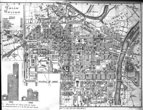
City Map - Turin - Torino, 1900. Creator: Unknown.
HRM25A43_445
The Church of St Bartholomew the Great; a map of ...
HRM25A23_377
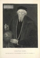
Sebastian Cabot in old age, c1474, (1869). Creator...
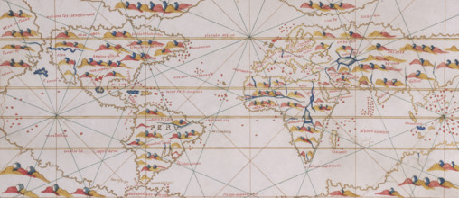
![[Whole map] Desceliers map of the world; with illuminated borders..., 1550. Creator: Pierre Desceliers.](https://lres.photo12.com/th/t-hrm25a23_451.jpg)
HRM25A23_451
[Whole map] Desceliers map of the world; with illu...
HRM25A23_276
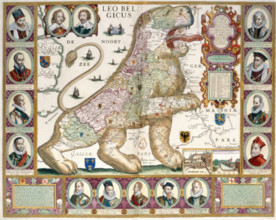
'The lion of the low countries.' Map in the shape ...
HRM25A23_235
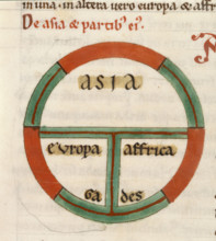
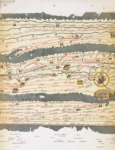
(Detail) Diagrammatic T-O map, early 13th century....
HRM25A23_433
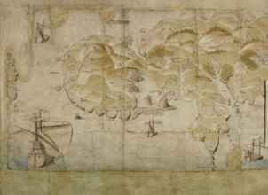
Detail (left-hand end) of a panoramic map of the c...
HRM25A23_182
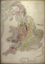
William Smith's geological map of 1815, called A D...
HRM25A23_236
Spilsbury jigsaw, 1766. Creator: John Spilsbury.
HRM25A23_399
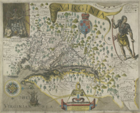
Map of Virginia, 1618. Creator: Theodor de Bry.
HRM25A23_265
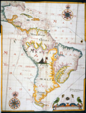
Map of the West Indies and South America, 1683. C...
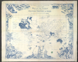
HRM25A23_364
British Empire map, 1886. Creator: Unknown.
HRM25A14_490
World map, 1560. Spanish map showing the 'New Worl...

HRM25A14_481
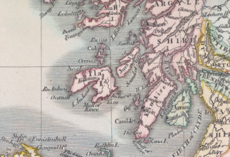
Map of Scotland, (c1800?). Divided into counties, ...
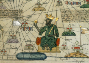
HRM25A14_499
Mansa Musa, King of Mali, 1375. Depiction of Mansa...
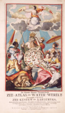
HRM25A15_413
Title page from van Keulen's Chart Atlas, 1682. 'D...
HRM25A14_482
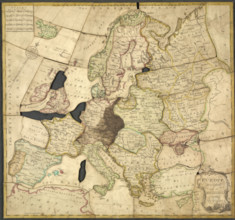
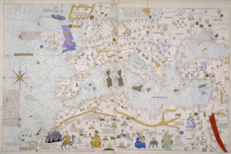
Map of Europe, North Africa and the Mediterranean,...
HRM25A14_489
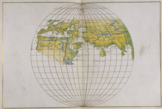
Global map, 1540.
HRM25A14_267
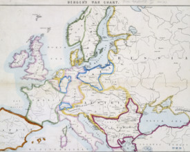
Berger's war chart, 1854. A map of Europe at the t...
HRM25A14_492
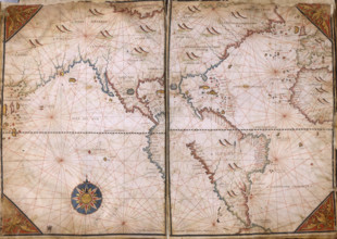
Chart of the Atlantic Ocean, c1535-1542. The map i...
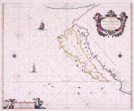
HRM25A15_426
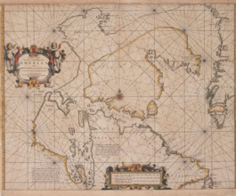
Map of California, 1666. 'Paskaerte Van Nova Grana...
HRM25A14_480
Detail from a map of Scotland, (c1800?). Showing s...
HRM25A14_491
Map of Mexico, 1567. Mexico, conquered by the Span...
HRM25A14_257
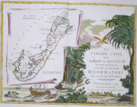
Map of Bermuda, 1778. Illustrated with pictures of...
![Map of Great Britain and Ireland, c1564-c1570. 'A general description of England & Irelad [sic]](https://lres.photo12.com/th/t-hrm25a14_268.jpg)
HRM25A14_268
Map of Great Britain and Ireland, c1564-c1570. 'A ...
HRM25A15_425
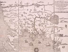
Map of New England, 1677. Self-proclaimed as the f...
HRM25A16_378
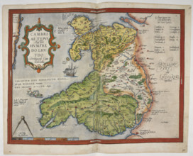
Coloured printed map of Wales and Anglesey, 1579. ...
HRM25A14_278
Chart of the Gulf of Mexico and the Pacific Ocean,...
HRM25A14_377
Map of Eastern Europe and the Byzantine Empire, Ca...

HRM25A14_485
The island of Islay, 1564. 'L Aruny, Mac Foyn Cann...
HRM25A14_494
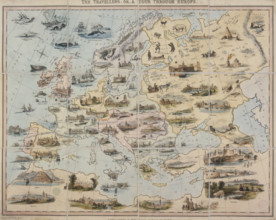
'The Travellers, or a Tour through Europe', 1842. ...
HRM25A15_420
Map of the Atlantic coast of Portugal, 1682. 'Pasc...
HRM25A16_377
Coloured manuscript plan of Falmouth Haven, or Har...
HRM25A14_277
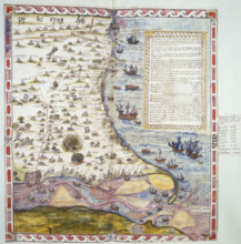
Map of the Black Sea coastline, 1536. The coast of...
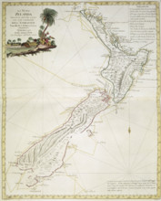
HRM25A14_378
Map of New Zealand, 1778. 'La Nuova Zelanda trasco...
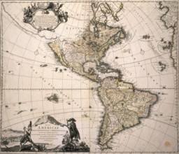
HRM25A14_475
Map of America, (c1700?). This Homann map depicts ...
HRM25A14_486
Map of the Sea of Marmara, 1770. The sea of Marmar...

HRM25A15_103
Map of Botany Bay, New South Wales, Australia, 177...
HRM25A15_419
Map of the Gulf of Mexico, 1772. 'Carte Reduite du...
HRM25A16_287
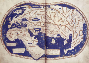
World map, 1490. Labelled and coloured, within a b...
HRM25A14_177
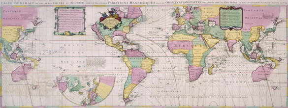
Map of the World, c1701. Nautical table showing ma...
HRM25A14_474
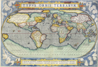
Ortelius World Map, 1570. The map speculates the e...
HRM25A14_483
Map plotting Magellan's route, 1536. In 1519, whil...
HRM25A14_496
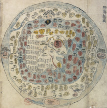
Korean world map, 19th century. Printed and hand-c...
HRM25A15_422
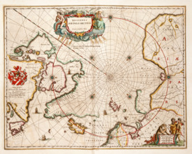
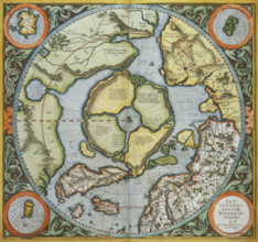
Map of the Arctic, 1662. 'Regiones sub Polo Arctic...
HRM25A14_178
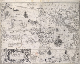
Map of the Pacific Ocean, 1600. Showing the tropic...
HRM25A14_473
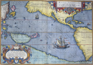
The Pacific Ocean, 1586. 'Maris Pacifici'. A map s...
HRM25A14_484
Rome and its roads, from the Peutinger table, 19th...
HRM25A14_495
Map of the Arctic, 1595. This map speculates that ...
HRM25A15_421
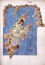
Mitilena (Lesbos), c1485. Mytilene is the capital ...
HRM25A14_274
World Map, 1562. The map suggests that North Ameri...
HRM25A14_283
World Map, 1542. On the left is the 'New World', t...
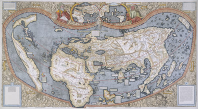
HRM25A14_498
Map of the World, 1507. The map is accompanied by ...
HRM25A14_284
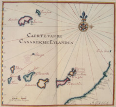
Map of the Canary Islands, 17th century. 'Caerte v...
HRM25A14_497
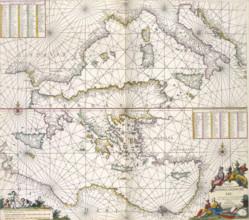
Maps of the Mediterranean, 1682. The upper half is...
HRM25A14_487
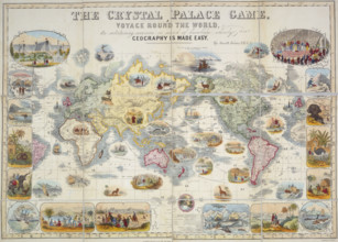
The Crystal Palace Game, 1854. A board game based ...
HRM25A15_436
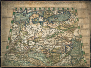
Map of northern and central Europe, 1491. Only six...
HRM25A16_286
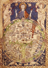
Psalter Map, c1250. A round map of the world, set ...
HRM25A14_260
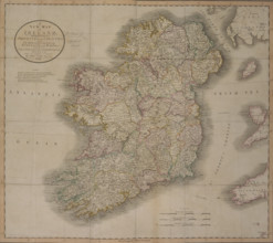
'A New Map of Ireland', 1799. 'A New Map of Irelan...
HRM25A14_275
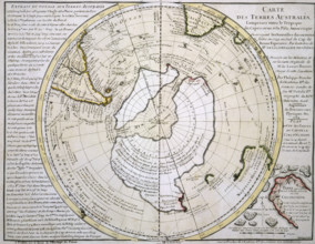
Map of Australasia and Antarctica, 1739. 'Cartes d...
HRM25A14_488
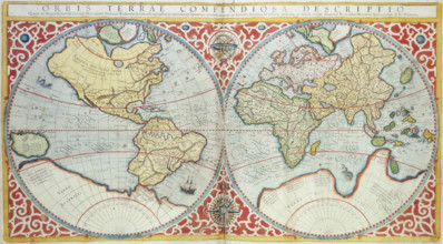
World Map, 1587. 'Orbis terrae compendiosa descrip...
HRM25A15_435
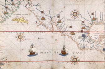
William Hack's atlas of the South Sea of America, ...
HRM25A16_379
Engraved map of Northumberland, from drawings of C...
HRM25A14_265
Views of the area around Boston, New England, 1773...
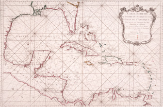
HRM25A15_417
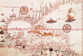
Map of the Caribbean, c1578. Showing 'Niova Spagna...
HRM25A15_430
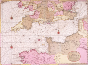
Map of the English Channel, 1693. 'Carte de la Man...
HRM25A16_380
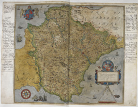
Printed map of Devon, dated 1575, with marginal no...
HRM25A16_391
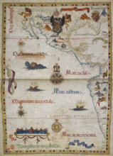
The eastern Pacific Ocean with Central America and...
HRM25A15_418
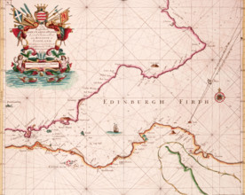
Map of the Firth of Forth, 1689. The first British...
HRM25A15_427
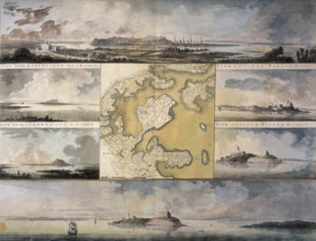
Map of the River Humber and land between Hull and ...
HRM25A14_263
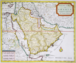
Map of Arabia, 1744. 'Nieuwe Kaart van Arabia. uit...
HRM25A14_281
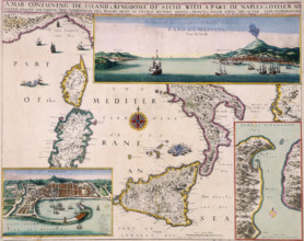
'A Map Containing the Island and Kingdome of Sicil...
HRM25A14_382
Top half of Lord Burghley's chart of the Humber, 1...
HRM25A15_432
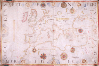
Map of Europe, 1570. The traditional portolan char...
HRM25A16_289
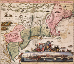
Map of New York and New England, 1710. From Totius...
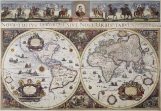
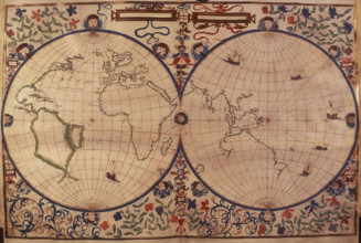
HRM25A14_143
Map of the world, 1680. 'Nova Totius Terrarum Sive...
HRM25A14_264
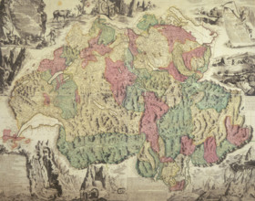
Map of Switzerland, 1740. 'Helvetiae Antiquae Geog...
HRM25A14_271
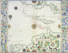
Map of the Caribbean, 1542. Map showing 'Couba' (C...
HRM25A14_282
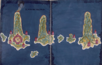
'Ilhas de Maluco', a map of the islands of the Mol...
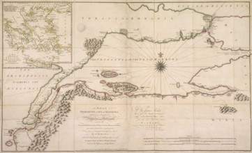
HRM25A10_176
New Map of the Northeasternmost Coast of America, ...
HRM24A37_279
Portuguese Airmen Sacadura Cabral and Gago Coutinh...

HRM24A19_296
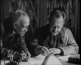
Making Map for Blind, between c1910 and c1915. Cre...
HRM24A00_045
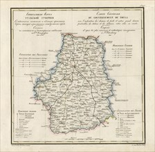
General Map of Tula Province: Showing Postal and M...
- Page
-
- sur
- 5