Légende
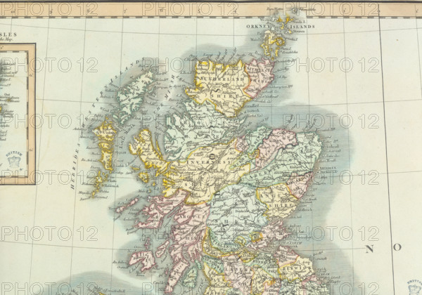
Map of Scotland, (c1800?). Divided into counties, and also showing the Hebrides and Orkneys.
Date
1800
Crédit
Photo12/Heritage Images/Heritage Art
Notre référence
HRM25A14_481
Model release
NA
Property release
NA
Licence
Droits gérés
Format disponible
50.0Mo (5.9Mo) / 42.3cm x 29.6cm / 4995 x 3498 (300dpi)