Légende
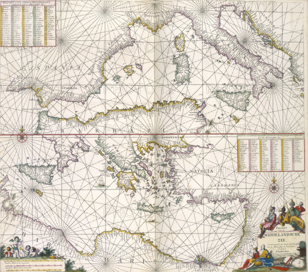
Maps of the Mediterranean, 1682. The upper half is a chart of the whole of the Mediterranean, while the lower part is a larger scale map from the Adriatic westwards to the Middle East. North Africa is labelled 'Barbaria'.
Date
1682
Crédit
Photo12/Heritage Images/Heritage Art
Notre référence
HRM25A14_497
Model release
NA
Property release
NA
Licence
Droits gérés
Format disponible
49.9Mo (4.8Mo) / 37.7cm x 33.2cm / 4448 x 3922 (300dpi)