Légende
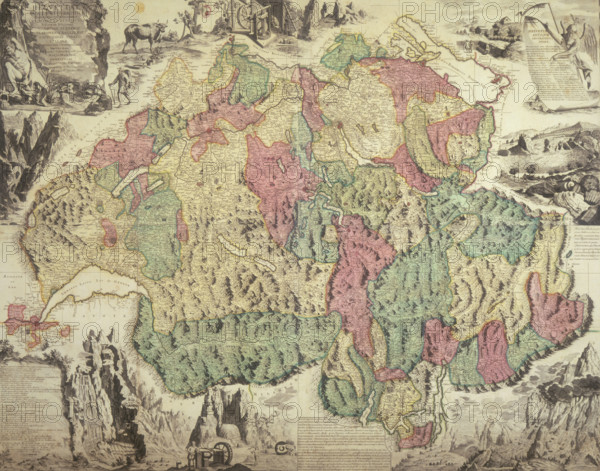
Map of Switzerland, 1740. 'Helvetiae Antiquae Geographicus Index'. Showing the country divided into provinces, and surrounded by illustrations depicting various locations and scenes.
Date
1740
Crédit
Photo12/Heritage Images/Heritage Art
Notre référence
HRM25A14_264
Model release
NA
Property release
NA
Licence
Droits gérés
Format disponible
49.9Mo (5.6Mo) / 39.9cm x 31.3cm / 4714 x 3702 (300dpi)