Period

11 results for: outline maps

  • Page
  • of
  • 1
Please sign in for more results
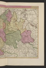
Aurelianensis Praefectura generalis in qua partiliter discriminati superiores Ducatus Cenomanensis,
LZT26A06_295

Aurelianensis Praefectura generalis in qua partili...
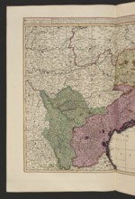
Praefectura generalis Languedociae olim Occitania dicta, cujus partes, superior sive occidentalis,
LZT26A06_313

Praefectura generalis Languedociae olim Occitania ...
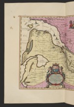
La Riviere de la Garomne et la Dordogne et la pays aux environs de Bourdeavx; map of France
LZT26A06_305

La Riviere de la Garomne et la Dordogne et la pays...
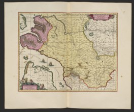
La Saintonge vers le Midy auecq. le Brovageais, terre d'Arvert &C.; Gerard Valck 1651/52–1726 and
LZT26A06_297

La Saintonge vers le Midy auecq. le Brovageais, te...
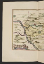
Le duché d'Aiguillon, Schenck, Pieter 1660–1711 creator / publisher, Valck, Gerard 1651/1652–1726
LZT26A06_307

Le duché d'Aiguillon, Schenck, Pieter 1660–1711 cr...
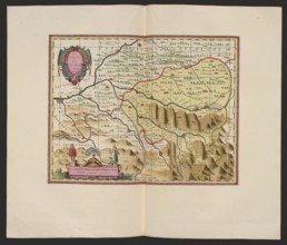
Le pais de Bearn; cartographic map of Béarn, France Aquitaine; makers: Pieter Schenck 1660–1711 and
LZT26A06_310

Le pais de Bearn; cartographic map of Béarn, Franc...
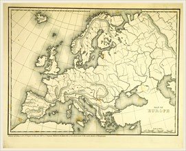
Mitchell's Atlas of outline maps, Europe, 19th century engraving
LZT16A63_103

Mitchell's Atlas of outline maps, Europe, 19th cen...
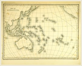
Mitchell's Atlas of outline maps, map of Oceanica, 19th century engraving, Oceania
LZT16A63_123

Mitchell's Atlas of outline maps, map of Oceanica,...

Outlines of the Geology of England and Wales, map, 19th century engraving
LZT16A61_484

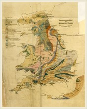
Outlines of the Geology of England and Wales, map,...

Outline of the Topography and Statistics of the Southern Districts of Oud'h, and of the cantonment
LZT16A63_121

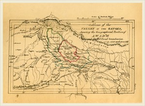
Outline of the Topography and Statistics of the So...

Map valley of the Ganges India, Outline of the Topography and Statistics of the Southern Districts
LZT16A63_118

Map valley of the Ganges India, Outline of the Top...