Caption
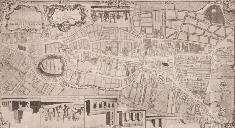
Reproduction of a map of Pontefract, reproduction, page, photomechanical print, cliché maker: Autotype Company, The (possibly), after print by anonymous, c. 1882 - in or before 1887, photographer, clichémaker, after print by, paper, collotype, photoprint, height 106 mm x width 184 mm, maps of cities, Pontefract, A detailed sepia-toned map fills the image, showing a network of streets, irregular blocks, open rectangular parcels, and landscaped areas with rows of small tree symbols and dotted textures indicating open ground. There is an oval-shaped enclosure with concentric pathways and a circular feature near its edge, surrounded by smaller plot divisions and tree symbols. Numerous tightly packed building outlines line several main linear thoroughfares, with clusters of denser blocks contrasted by larger empty lots. Decorative cartouches and ornamental flourishes appear near the corners and edges, and small vignette-style architectural drawings run along the bottom edge, including façades with arches and tower-like silhouettes. A compass rose is visible toward one side, and a patterned border frames the composition.
Credit line
Photo12/Liszt Collection
Reference
LZT26B09_078
License type
Rights managed
Available size
35.1Mb (7.6Mb) / 15.8in x 8.6in / 4746 x 2588 (300dpi)