Caption
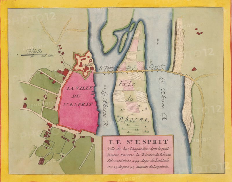
Le St. Esprit, ville du bas Languedoc, Fortress map of Pont-Saint-Esprit, area plan, print, album page, This print is part of an album., printmaker, colorer (graphic design artist), The Hague, paper, engraving, hand coloring, hand colored, inside plate edge cut and glued in a hand-colored frame, height 211 mm x width 273 mm, height 532 mm x width 320 mm, Card used in: Fer, Nicolas de. Les forces de l'Europe. 8 parts. Paris: Nicolas de Fer, 1690-1695. Mortier, Pieter. Les forces de l'Europe. 10 parts. Amsterdam: Pieter Mortier, ca. 1700, maps of cities, Pont-Saint-Esprit, A colored map segment showing a fortified town area filled with a solid pink shape bordered by a thicker outline, adjacent green parcels of land with pale roads and scattered small red-roofed building shapes, and a star-shaped citadel drawn near the waterfront; a wide pale blue river with darker blue contour lines runs vertically with an ornate angled bridge crossing it to another strip of patterned fields in soft pastel shades, and a narrow sandy shoreline with dotted texture appears along the riverbank; a yellow outer border frames the scene and small decorative arrows and scale markings appear on the map.
Credit line
Photo12/Liszt Collection
Reference
LZT26B23_393
License type
Rights managed
Available size
35.7Mb (9.0Mb) / 13.3in x 10.4in / 3991 x 3130 (300dpi)