Caption
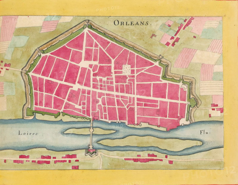
Map of Orléans, Orleans, area plan, print, album page, This print is part of an album., after design by Matthäus Merian (II), publisher: Caspar Merian, Frankfurt am Main, colorer (graphic design artist): Anna Beeck, The Hague, 1657, printmaker, colorer (graphic design artist), Hessen, paper, engraving, etching, hand coloring, etching and engraving, hand colored, cut inside the plate edge and mounted in a hand-colored frame, height 186 mm x width 289 mm, height 532 mm x width 320 mm, A hand-colored map segment showing a fortified town with a geometric outline of walls and bastions surrounding a dense grid of streets and blocks filled with pink and red shading, pale beige streets, and small drawn crosses marking certain plots; green shaded ramparts and grassy areas line the inside of the fortifications, and a wide blue river runs along the lower edge with islands and a bridge connecting to a star-shaped fort on the far bank; beyond the walls are patchwork fields in muted greens, pinks, and beige, scattered small rectangular buildings in red, and a wide yellow border framing the top and bottom edges of the image.
Credit line
Photo12/Liszt Collection
Reference
LZT26B23_384
License type
Rights managed
Available size
34.7Mb (11.2Mb) / 13.2in x 10.2in / 3949 x 3067 (300dpi)