Caption
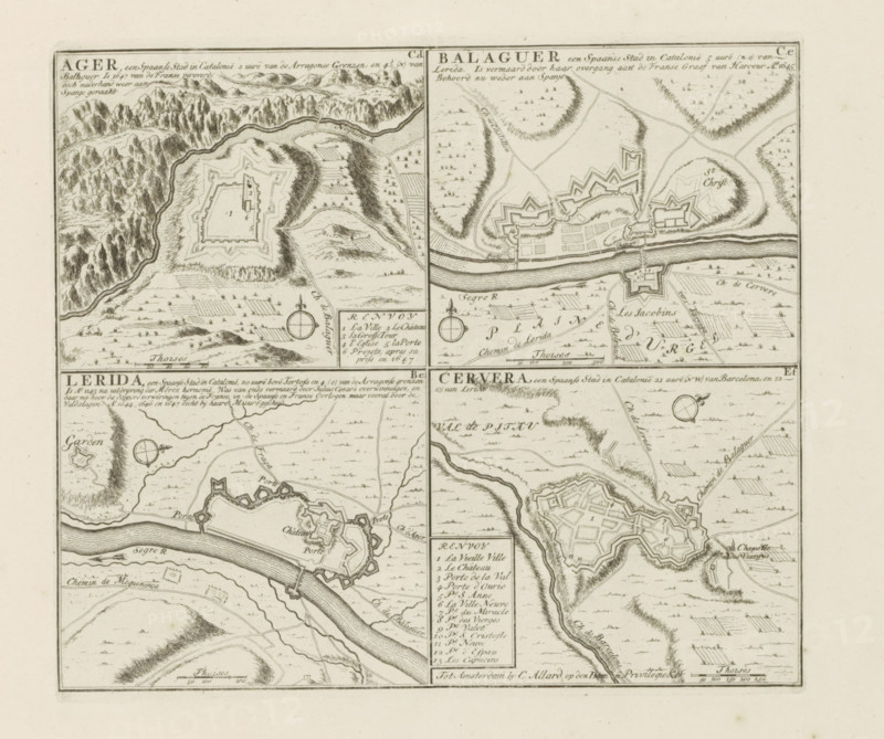
Àger and other cities in Catalonia, Ager, Balaguer, Lerida, Cervera, The Principal Fortifications & Fortresses of Spain, France, Italy, Savoy, Germany & the Netherlands, Accurate Illustrations of the Main Strong Cities and Fortresses in Spain, Germany and the Netherlands, print, album page, map, Presentation with four maps of cities in Catalonia. With texts in Dutch and French., printmaker: Abraham Allard, Amsterdam, printmaker: Carel Allard, publisher: Pieter van der Aa (I), Leiden, grantor of privilege: States of Holland and West Friesland, 1701 - 1733, paper, etching, height 231 mm x width 263 mm, fortifications, military engineering, maps of cities, War of Spanish Succession, Catalonia, Àger, Period, 1701 - 1713, A sepia-toned print showing a grid of four detailed map panels, each with hand-drawn fortifications, rivers, winding roads, cultivated fields, and surrounding hills; the top panels feature star-shaped forts and a broad river running horizontally with bridges and adjacent rectangular town blocks, while the bottom panels show a curved riverbank with fortress walls, bastions, and irregularly shaped town outlines; small trees and clustered vegetation dot the landscapes, contour-like hatching indicates elevation on hills and ridges, compass roses appear near several panels, and a boxed legend area with small numbered entries is visible between two panels.
Credit line
Photo12/Liszt Collection
Reference
LZT26B29_174
License type
Rights managed
Available size
58.3Mb (5.6Mb) / 16.5in x 13.8in / 4935 x 4131 (300dpi)