Caption
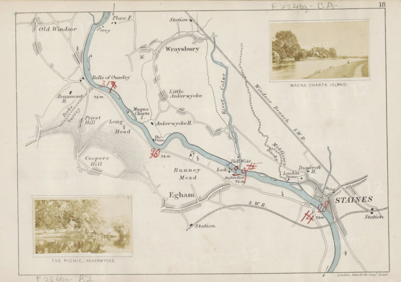
Magna Charta, Island, View of Magna Carta Island and the Thames, photograph, page, photographer: Henry W. Taunt, Magna Carta Island, publisher: Edward Stanford, London, 1871, Berkshire, paper, albumen print, height 31 mm x width 53 mm, river, Thames, A faded paper map showing a winding blue river flowing across the page with surrounding pale beige land and black ink outlines for roads and fields, small shaded hills and textured areas indicating terrain, and scattered small black rectangular and square symbols representing buildings; there are red handwritten markings over parts of the map, two sepia photographic inserts framed with thin borders showing riverside scenes with trees and a small building, thin ruled borders around the map, and light smudges and age spots on the paper.
Credit line
Photo12/Liszt Collection
Reference
LZT26B07_192
License type
Rights managed
Available size
40.7Mb (5.8Mb) / 15.0in x 10.6in / 4494 x 3166 (300dpi)