Caption
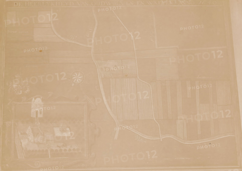
Photo reproduction of a map of the municipality of Houten, photograph, reproduction, annotation: 'AA 224', annotation: 'gem. Houten, Utr.', after design by anonymous, 1890 - 1920, photographer, Attributed to, paper, pasteboard, albumen print, height 147 mm x width 206 mm, maps, atlases, Houten, A faded, sepia-toned map-like image showing a large rectangular area with faintly drawn fields divided by narrow paths and curved roads, a winding river or stream running vertically through the composition, a circular compass rose shape near the left-center, decorative scrollwork and a small illustrated building grouped toward the lower-left, faint outlines of rectangular plots with parallel lines indicating cultivated land across the right side, and a pale border framing the entire image.
Credit line
Photo12/Liszt Collection
Reference
LZT26A76_110
License type
Rights managed
Available size
49.7Mb (4.4Mb) / 16.6in x 11.7in / 4965 x 3501 (300dpi)