267 résultats pour : indian ocean
- Page
-
- sur
- 3
Connectez-vous pour plus de résultats

HRM26A13_311
The Geographer, 1669. Creator: Jan Vermeer.
HRM26A15_420
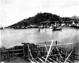
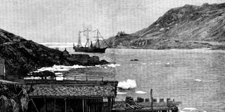
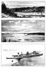
On the Way to Klondike: views of Wrangel, Alaska, ...
HRM26A15_418
On the Way to Klondike: views of Wrangel, Alaska, ...
HRM26A08_260
Sakalava Princes, north-west coast of Madagascar, ...
HRM25A58_004
Sketches in Newfoundland: early Spring in St. John...
HRM25A57_086
Regatta at Zanzibar - sailing pinnace race: roundi...
HRM25A58_005
Sketches in Newfoundland: drying stages, with cod-...
HRM25A57_327
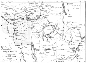
Map showing the Great Forest traversed by Mr. Stan...
HRM25A58_034
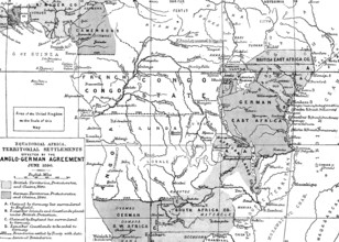
Map of the British and German Possessions in Afric...
HRM25A57_085
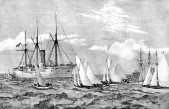
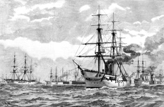
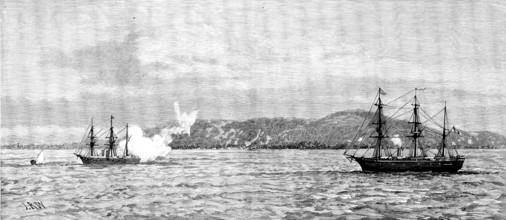
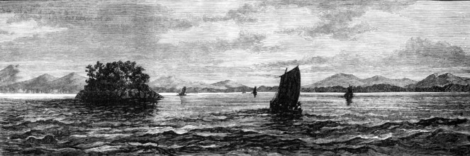
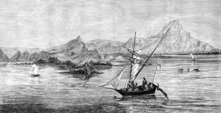
The British Squadron cruising in Mozambique Channe...
HRM25A58_006
Sketches in Newfoundland: a Newfoundland fishing f...
HRM25A58_042
Sketches in British East Africa, 1890. Creator: Un...
HRM25A57_323
Meeting of the Royal Geographical Society...in the...
HRM25A57_481
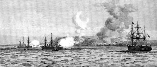
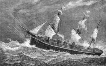
The Germans in East Africa - the Carola and Schwal...
HRM25A57_480
The Germans in East Africa - the Corvette Carola s...
HRM25A50_151
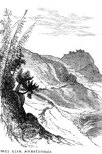
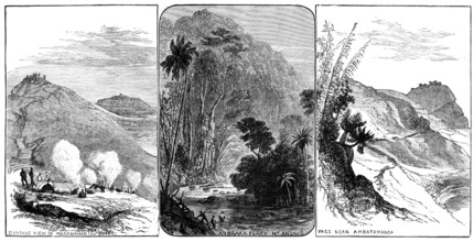
Sketches in Madagascar: pass near Ambatomanga, 188...
HRM25A51_075
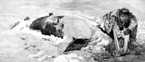
Dead whale on the coast of Bristol Bay, Alaska, 18...
HRM25A50_141
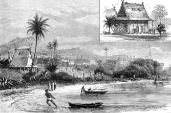
Telok Betong, Sumatra, one of the places destroyed...
HRM25A51_073
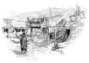
Esquimaux storehouses, Packwell Village, Alaska, 1...

HRM25A51_080
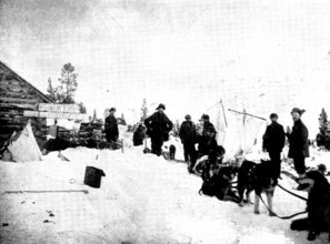
Lord Lonsdale’s travels in the Arctic regions of N...
HRM25A51_079
Lord Lonsdale’s travels in the Arctic...Fort Norma...
HRM25A51_078
Lord Lonsdale’s travels in the Arctic regions of N...
HRM25A50_144
Anjer, on the Coast of Java, destroyed by the erup...
HRM25A51_082
Lord Lonsdale’s travels in the Arctic regions...: ...
HRM25A51_081
Lord Lonsdale’s travels in the Arctic regions: Esq...
HRM25A50_140
The Volcanic Eruption in the Straits of Sunda, 188...
HRM25A50_139
The Straits of Sunda, as seen after leaving Anjer,...
HRM25A50_148
Sketches in Madagascar, 1883. Creator: Unknown.
HRM25A50_138
East Coast and Islands of the Straits of Sunda, wi...
HRM25A50_149
Sketches in Madagascar: distant view of Antananari...
HRM25A50_137
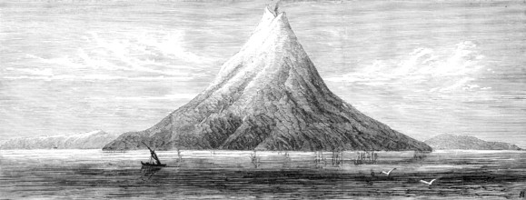
Island of Krakatoa...the centre of the late Volcan...
HRM25A50_150
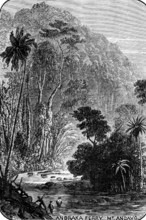
Sketches in Madagascar: Andraka Ferry Mt. Angavo, ...
HRM25A41_022
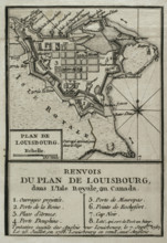
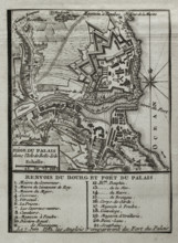
Map of Louisbourg, Nova Scotia, Canada, 1765. Cre...
HRM25A43_071
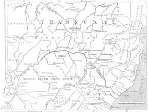
Map of the Transvaal and adjacent provinces, 1881....
HRM25A42_489
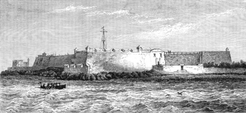
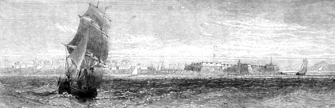
Fort St. Sebastian, Mozambique, 1881. Creator: Unk...
HRM25A42_200
View of Tamatave, Madagascar, 1883. Creator: Unkno...
HRM25A40_496
Seven Years War (1756-1763): Map of capture of Bel...
HRM25A35_462
Entrance to the crater of the island of Amsterdam,...
HRM25A32_453
Wreck of the steam-ship Queen Elizabeth at Calapar...
HRM25A33_080
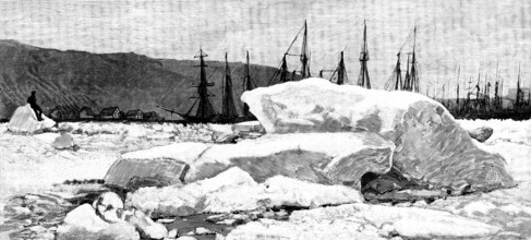
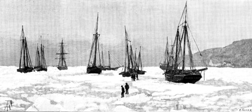
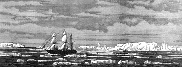
H.M.S. Challenger among icebergs, 1874. Creator: U...
HRM25A33_056
The Ocean Depth Exploring Voyage: H.M.S. Challenge...
HRM25A33_079
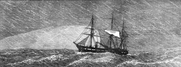
H.M.S. Challenger in a snowstorm, 1874. Creator: U...
HRM25A33_017
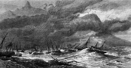
Hurricane at the Isle of Mauritius, 1874. Creator:...
HRM25A33_279
Quoin Point, Cape Agulhas, South Africa, near whic...
HRM25A28_035
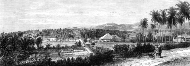
Tamatave, Island of Madagascar, 1882. Creator: Unk...
HRM25A33_057
The Ocean Depth Exploring Voyage: Grave Island, Ro...
HRM25A33_140
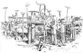
Steering spar contrivance for H.M.S. Bacchante aft...
HRM25A32_290
Map of the Strait of Malacca, 1874. Creator: Unkno...
HRM25A33_141
The Cruise of the Prince of Wales's sons: H.M.S. B...
HRM25A15_413
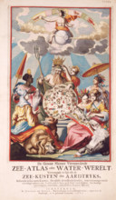
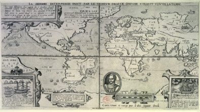
Title page from van Keulen's Chart Atlas, 1682. 'D...
HRM25A16_221
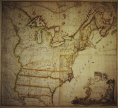
Map of the United States of North America, 1783. D...
HRM25A14_492
Chart of the Atlantic Ocean, c1535-1542. The map i...
HRM25A15_101
Map of the British Colonies in North America, c177...
HRM25A15_425
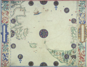
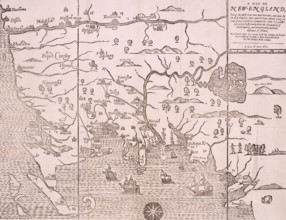
Map of New England, 1677. Self-proclaimed as the f...
HRM25A16_258
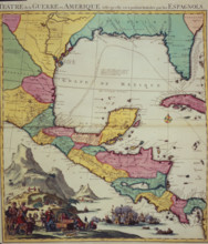
Map showing the Gulf of Mexico and surrounding are...
HRM25A15_031
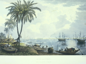
A view of Calcutta from a. Point opposite to Kidde...
HRM25A14_475
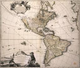
Map of America, (c1700?). This Homann map depicts ...
HRM25A16_287
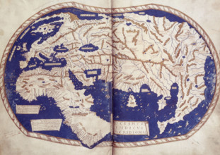
World map, 1490. Labelled and coloured, within a b...
HRM25A15_395
Map showing Francis Drake's Circumnavigation of th...
HRM25A14_263
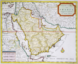
Map of Arabia, 1744. 'Nieuwe Kaart van Arabia. uit...
HRM25A12_413
The Voyage of H.M.S. Challenger: the Challenger ma...
HRM25A12_494
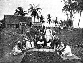
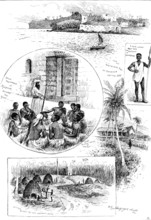
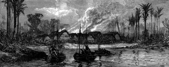
An East African slave-trading village destroyed by...
HRM25A13_217
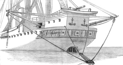
Wiring a whale by the Persian Gulf Submarine Teleg...
HRM25A13_112
The East African Slave Trade: Mafamale Isle, mouth...
HRM25A13_111
The East African Slave Trade: Mozambique, with For...
HRM25A13_135
The East African Slave Trade: 1. Quiloa, Kiswane. ...
HRM25A12_367
The East African Slave Trade: destruction of a dho...
HRM25A12_411
The Voyage of H.M.S. Challenger: St. Paul's Rocks,...
HRM25A06_188
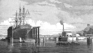
The hydraulic lift graving dock, Bombay Harbour, 1...
HRM25A06_140
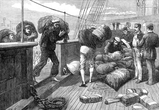
The Voyage to China: bringing the letter-bags on b...
HRM25A06_154
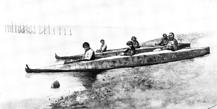
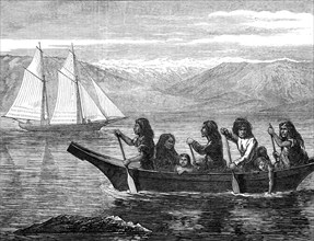
Native canoe, off the coast of British Columbia, 1...
HRM25A06_155
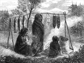
Salmon-eaters of British Columbia, 1872. Creator: ...
HRM25A06_171
The Voyage to China: forecastle of a mail-steamer ...
HRM24A79_362
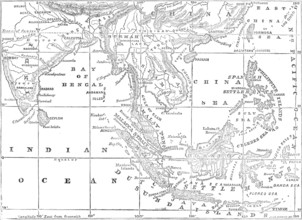
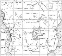
Sketch map of Central Africa, showing Dr. Livingst...
HRM24A61_187
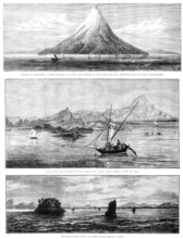
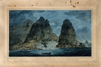
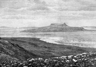
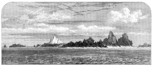
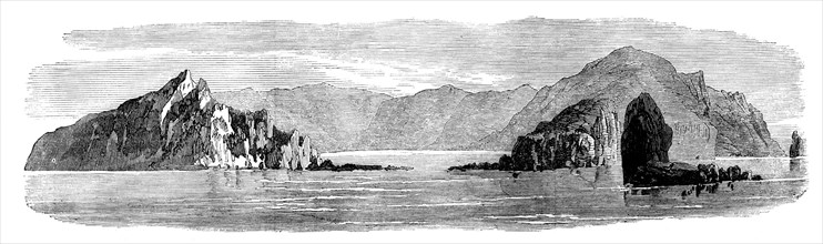
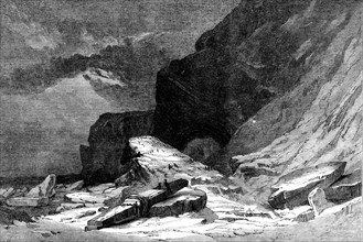
The Island of St. Paul: the Crater, 1871. Creator:...
HRM24A61_495
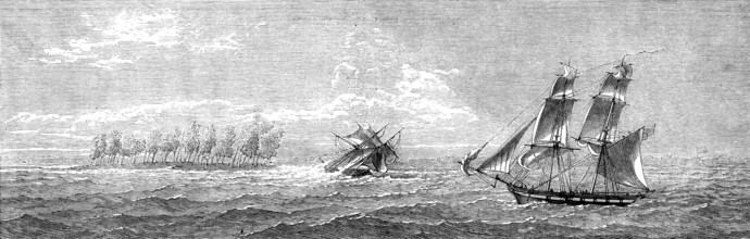
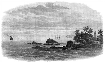
Wreck of the mail steam-ship Rangoon at Galle - th...
HRM24A61_496
Wreck of the mail steam-ship Rangoon at Galle - Ka...
HRM24A61_452
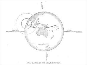
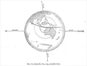
The Total Solar Eclipse of Dec. 12: central eclips...
HRM24A61_454
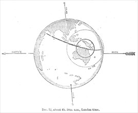
The Total Solar Eclipse of Dec. 12: central eclips...
HRM24A61_455
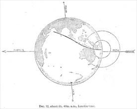
The Total Solar Eclipse of Dec. 12: central eclips...
HRM24A61_456
The Total Solar Eclipse of Dec. 12: central eclips...
HRM24A61_234
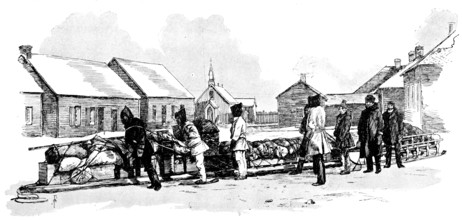
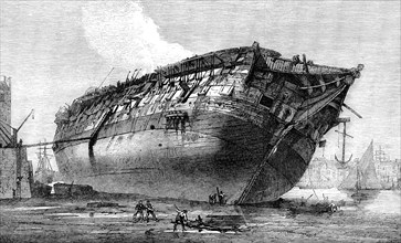
Breaking-up H.M.S. Queen at Rotherhithe, 1871. Cre...
HRM24A61_362
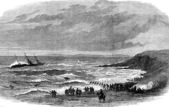
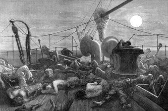
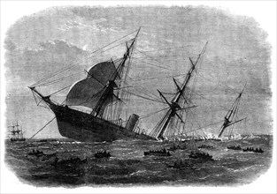
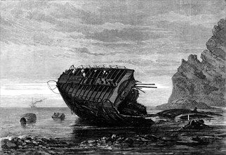
Wreck of H.M.S. Megaera, 1871. Creator: Unknown.
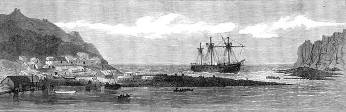
HRM24A61_186
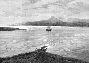
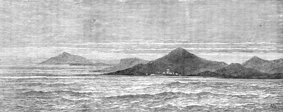
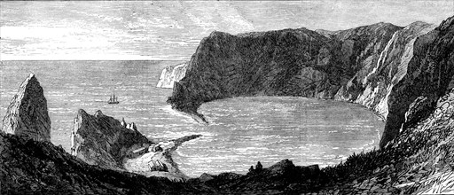
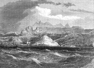
Loss of the Megaera: the island of St. Paul, from ...
HRM24A61_366
The last of the Megaera, 1871. Creator: Unknown.
HRM24A49_231
Falmouth, Gibraltar, and Mediterranean Telegraph: ...
HRM24A49_371
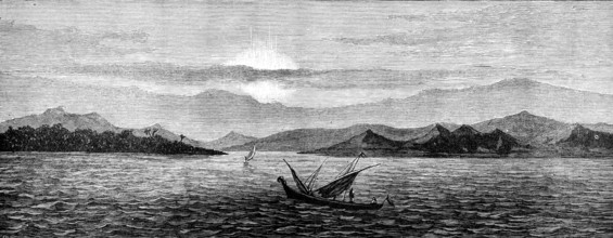
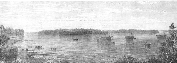
The Nicobar Islands, in the Indian Ocean, 1870. Cr...
HRM24A49_389
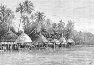
The Nicobar Islands, Indian Ocean: Village of Mala...
HRM24A49_372
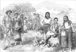
The Nicobar Islands, Indian Ocean: Natives, 1870. ...
HRM24A49_303
The Falmouth, Gibraltar, and Mediterranean Telegra...
HRM24A34_411
Port Louis, Mauritius, 1868. Creator: Unknown.
HRM24A35_022
The Abyssinian Expedition: Berbereh, on the coast ...
HRM24A35_261
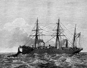
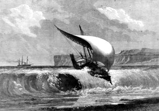
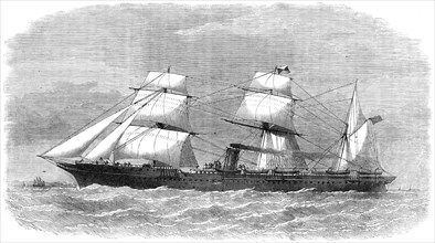
The Peninsular and Oriental Company's steam-ship D...
HRM24A16_104
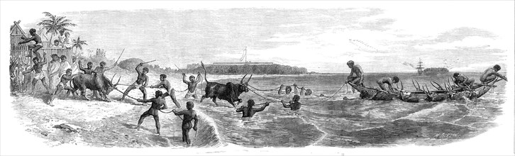
Embarking cattle at the port of Tamatave, Madagasc...
HRM24A16_103
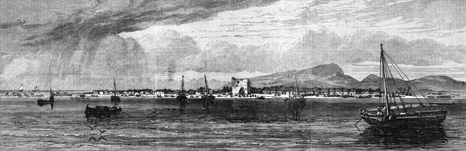
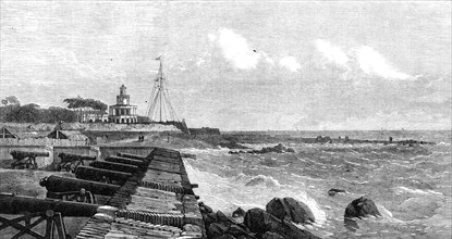
The lighthouse and flagstaff at Colombo, Ceylon, 1...
HRM24A14_493
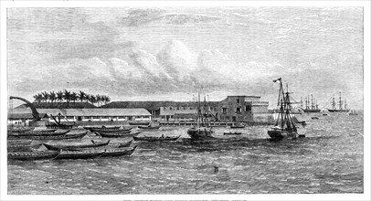
The Custom-House and inner harbour, Colombo, Ceylo...
HRM24A07_250
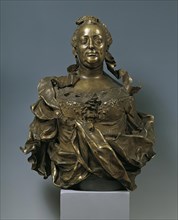
Maria Theresa, around 1760. Creators: Franz Xaver ...
HRM24A00_013
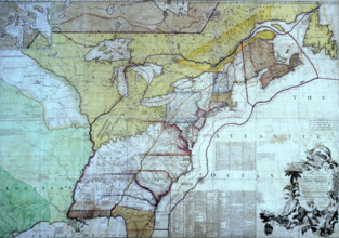
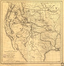
Map of the Trans-Mississippi of the United States ...
HRM24A09_355
The International Exhibition: "Western Coast of th...

HRM24A02_133
Whyay-Ring, c1905. Creator: Edward Sheriff Curtis.
- Page
-
- sur
- 3