49 results for: map area
- Page
-
- of
- 1
Please sign in for more results

LZT26A95_328
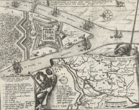
Plan of the Battle of Wijnendale, 1708, Plan de l'...
LZT26B40_016
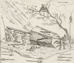
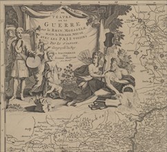
Napoleon crushed under a hexagonal block, Caricatu...
LZT26B46_029
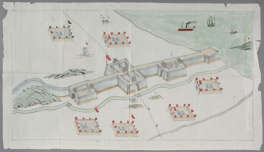
Swedish redoubt on the Weichsel River near Danzig,...
LZT26A95_086
Siege of Saint Martin on the Île de Ré, July-Novem...
LZT26A74_456
Carte de la Pologne, divisée par provinces et pala...
LZT26A40_066
Atlas contenant les cartes générales suivant la co...
LZT26A40_286
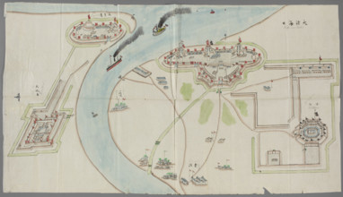
Fortification plan; graphic artist; Chinese art; C...
LZT26A74_455
Carte de la Pologne, divisée par provinces et pala...
LZT26A39_321
Map of Europe by Joachim Lelewel (1786–1861), grap...
LZT26A40_287
Fortification plan; graphic artist; Chinese art; C...
LZT26A40_288
Fortification plan; graphic artist; Chinese art; C...
LZT26A39_320
Graphic matrix with maps marked with numbers 32, 3...

LZT26A39_383
Allard, Hugo (1620–1684), cartographer; Wit, Frede...
LZT26A06_301
Le comte de Perigort; Schenck, Pieter 1660-1711 pu...
LZT26A06_312
Praefectura generalis Languedociae olim Occitania ...
LZT26A06_302
Le Diocese de Sarlat = Diocesis Sarlatensis; Schen...
LZT26A06_311
Le pays de Béarn; Pieter Schenck 1660–1711 and Ger...
LZT26A32_430
Warsaw. 63rd Competition of the Circle of Architec...
LZT26A06_304
La Riviere de la Garomne et la Dordogne et la pays...
LZT26A15_487
Figurine of an officer of the Polish Guard, Koenig...
LZT26A06_295
Aurelianensis Praefectura generalis in qua partili...
LZT26A06_303
Le Diocese de Sarlat = Diocesis Sarlatensis; Piete...
LZT26A06_296
Diocese du Mans, vulgo le Maine, ubi olim Cenomani...
LZT26A06_313
Praefectura generalis Languedociae olim Occitania ...
LZT26A06_306
Le duche D'Aiguillon; Schenck, Pieter 1660–1711 cr...
LZT26A06_305
La Riviere de la Garomne et la Dordogne et la pays...
LZT26A06_297
La Saintonge vers le Midy auecq. le Brovageais, te...
LZT26A06_308
Quercy olim Cadurcium; Gerard Valck 1651/1652–1726...
LZT26A06_298
La Saintonge vers le Midy auecq. le Brovageais, te...
LZT26A06_299
Bovrdelois, Pays de Médoc et la prevosté de Born; ...
LZT26A06_310
Le pais de Bearn; cartographic map of Béarn, Franc...
LZT26A06_309
Quercy olim Cadurcium, Valck, Gerard 1651 aut 1652...
LZT19B46_412
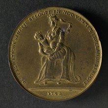
Spot medal on the Pragmatic Sanction in Austria, w...
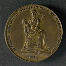
LZT19B46_411
Spot medal on the Pragmatic Sanction in Austria, w...
LZT16A31_437
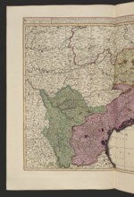
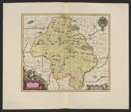
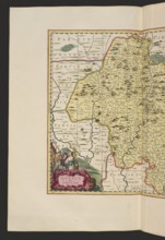
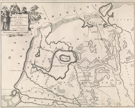
Historical map of Netherlands with the areas of th...
LZT16A27_450
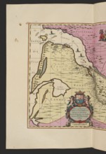
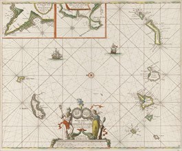
Sea chart of the Canary Islands, print maker: Jan ...
LZT16A27_341
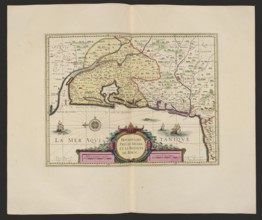
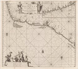
Sea chart of a portion of the northeast coast of B...
LZT16A33_087
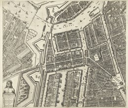
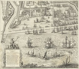
Map of Amsterdam (leaf middle left), 1625, The Net...
LZT16A26_427
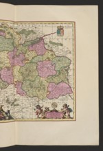
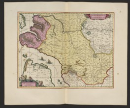
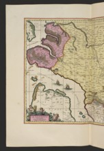
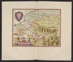
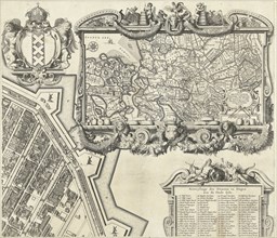
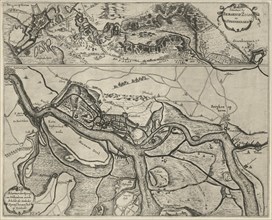
Map of the area east and south of Brussels and the...
LZT16A33_088
Map of Amsterdam (leaf right), 1625, The Netherlan...
LZT16A33_086
Map of Amsterdam, The Netherlands, leaf left, 1625...
LZT16A37_343
Map of Amsterdam (middle leaves), 1625, The Nether...
LZT16A24_114
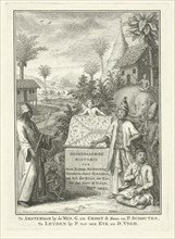
Allegory of the East Indies, Jan Caspar Philips, 1...
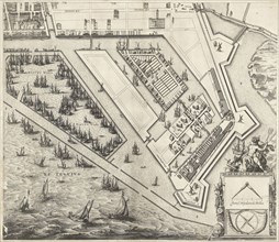
LZT16A33_085
Map of Amsterdam (leaf right), 1625, The Netherlan...
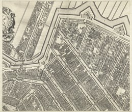
LZT16A33_089
Map of Amsterdam (leaf top center), 1625, The Neth...
LZT16A39_003
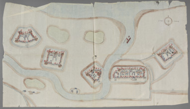
Schansen near Bergen op Zoom, Steenbergen and alon...
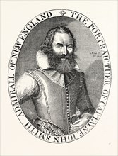
LZT13A39_222
CAPTAIN SMITH, FROM THE PORTRAIT IN HIS VIRGINIA, ...
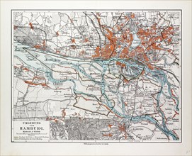
LZT13A17_022
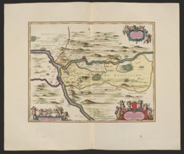
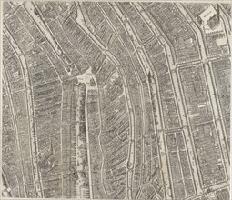
MAP OF HAMBURG AND THE SURROUNDING AREA, GERMANY, ...
LZT13A17_002