Caption
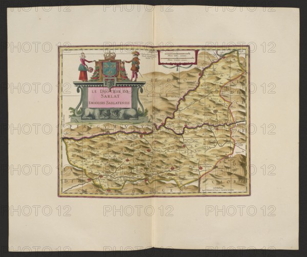
Le Diocese de Sarlat = Diocesis Sarlatensis; Schenck, Pieter 1660–1711 publisher; Valck, Gerard 1651/1652–1726 publisher; map; cartography; France; 1711; Amsterdam; height 36.7 cm; width 45.4 cm, A rectangular antique map centered on a large cream sheet, with a decorative cartouche at the upper left of the map area topped by a crown and flanked by two small standing figures, one in red and green and the other in brown and red, with draped ornamental elements in pink and green; the map field shows a hilly landscape rendered in shades of tan, beige, and light brown with darker brown shading for relief, outlined regions traced in pink and yellow, and scattered small red symbols indicating settlements; thin black gridlines and fine black ink place names cover the mapped area, while the surrounding margin is pale cream with a thin pink and purple border framing the map.
Credit line
Photo12/Liszt Collection
Reference
LZT26A06_302
License type
Rights managed
Available size
86.4Mb (6.5Mb) / 20.0in x 16.8in / 6000 x 5033 (300dpi)