Caption
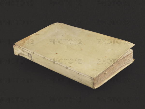
Allard, Hugo (1620–1684), cartographer; Wit, Frederik de (ca.1630–1706), publisher; Janssonius, Johannes (1588–1664), cartographer; Visscher, Nicolaes III (1649–1702), cartographer; Velde, Jan van de IV (d.1686?), graphic artist. Atlas, cartography, maps; 1 volume. Binding: blind-embossed parchment. Contents: 3 blank sheets (first with a handwritten map index in black ink); 1 glued-on quasi-frontispiece — an engraving depicting the Zodiac, untitled, with the publisher's name added: H. Alardt; 90 maps on folded sheets; 2 blank sheets. In addition to Allard's maps, contains mainly maps by Frederik de Wit, Jan Jansson, N.I. Visscher and others. Date: 4th quarter of the 17th century, Amsterdam. Binding dimensions: height 54.3 cm, width 34.5 cm, depth 7.8 cm.
Credit line
Photo12/Liszt Collection
Reference
LZT26A39_383
License type
Rights managed
Available size
77.2Mb (5.4Mb) / 20.0in x 15.0in / 6000 x 4500 (300dpi)