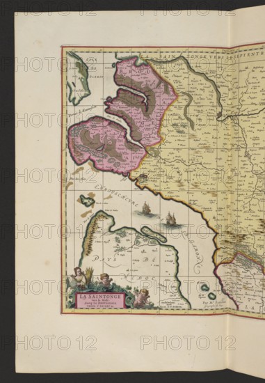
Caption
La Saintonge vers le Midy auecq. le Brovageais, terre d'Arvert &C. Map by Nicolas Sanson; publishers Gerard Valck and Pieter Schenk. Cartographic map of Saintes, France, 1711. Map; height 44.3 cm, width 53.7 cm., A portion of an old map showing coastal landmasses and islands with hand-colored regions in pink, yellow, green, brown, and beige, surrounded by off-white paper; decorative cartouche at the lower left with small cherub-like figures and foliage in green and brown, and a ribbon area in pink; two sailing ships illustrated on the sea with brown hulls and white sails; coastline details with green and brown shading, inland areas filled with beige and pale yellow, and several small green tree or hill symbols; thin grid lines and hand-drawn borders outlined in dark brown and highlighted with yellow and red tones; overall aged paper with light brown foxing spots and a darker margin on two sides.
Credit line
Photo12/Liszt Collection
Reference
LZT26A06_298
License type
Rights managed
Available size
71.3Mb (5.9Mb) / 13.9in x 20.0in / 4155 x 6000 (300dpi)