Period

330 results for: woodcut map

  • Page
  • of
  • 4
Please sign in for more results
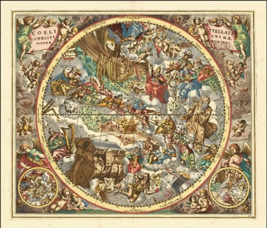
Sternbilder nach christlicher Symbolik, 1660, digital improved reproduction of a work by Andreas
BRK26J51_018

Sternbilder nach christlicher Symbolik, 1660, digi...
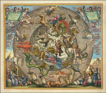
Hemisphaerii Borealis Coeli et Terrae Sphaerica Scenographia, 1661, digitally improved reproduction
BRK26J23_316

Hemisphaerii Borealis Coeli et Terrae Sphaerica Sc...
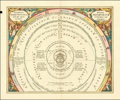
Tycho Brahe's model of the Universe, 1660, digital improved reproduction of a work of Andreas
BRK26I93_455

Tycho Brahe's model of the Universe, 1660, digital...
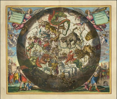
Haemisphaerium Stellatum Boreale Cum Subiecto Hemisphaerio Terrestri, 1660, digital improved
BRK26I87_495

Haemisphaerium Stellatum Boreale Cum Subiecto Hemi...
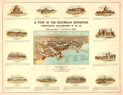
Detailed bird's-eye view of the World's Columbian Exposition in Chicago from 1893. The map was
BRK26I17_302

Detailed bird's-eye view of the World's Columbian ...
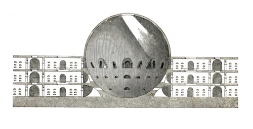
Cross-section of the cemetery plan for the ideal town of Chaux, designed by Claude-Nicolas Ledoux
BRK26I46_189

Cross-section of the cemetery plan for the ideal t...

Fishing picture series, map illustrating traditional salmon fishing in flowing water. It shows
BRK26H67_145

Fishing picture series, map illustrating tradition...
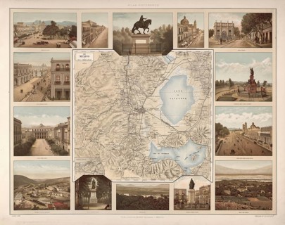
Map and localities, Mexico, around 1900, illustration, reproduction from a 19th century model.
BRK26H65_199

Map and localities, Mexico, around 1900, illustrat...
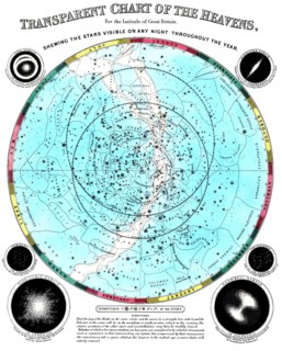
The circular planisphere shows the constellations of the night sky, which are visible all year
BRK26H65_172

The circular planisphere shows the constellations ...
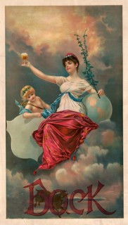
Advertising poster, beverage advertisement, advertising poster for bock beer by Henry Jerome Stile
BRK26H56_495

Advertising poster, beverage advertisement, advert...
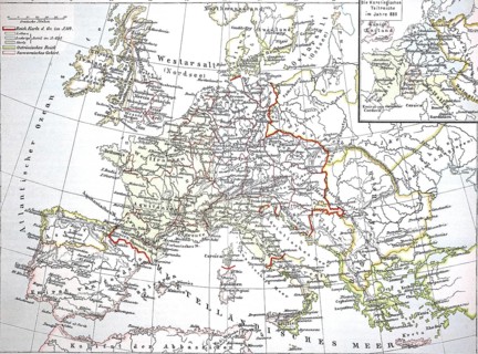
Map from 1890, Europe at the time of the Carolingians, Charlemagne's empire, illustration,
BRK26H04_367

Map from 1890, Europe at the time of the Carolingi...
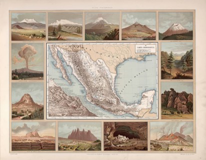
Orographic map, orographic map, volcanoes and mountains in Mexico, around 1900, illustration,
BRK26H16_372

Orographic map, orographic map, volcanoes and moun...
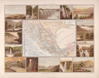
Hydrographic map of Mexico, around 1900, waterways, rivers, lakes, illustration, reproduction from
BRK26H19_346

Hydrographic map of Mexico, around 1900, waterways...
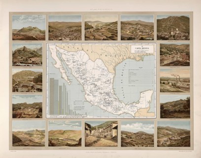
Geological map, mines, mining of minerals, Mexico, around 1900, illustration, reproduction from a
BRK26H23_453

Geological map, mines, mining of minerals, Mexico,...
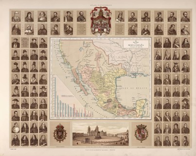
Ruler, government, nobility, grouped around a map of Mexico, around 1900, illustration,
BRK26H41_415

Ruler, government, nobility, grouped around a map ...
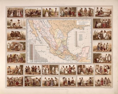
Ethnographic map of Mexico, tribes, indigenous people, local groups, around 1900, illustration,
BRK26H30_499

Ethnographic map of Mexico, tribes, indigenous peo...
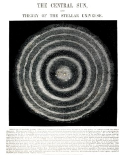
Astronomical diagram entitled The Central Sun, and Theory of the Stellar Universe, illustrates an
BRK26H30_264

Astronomical diagram entitled The Central Sun, and...
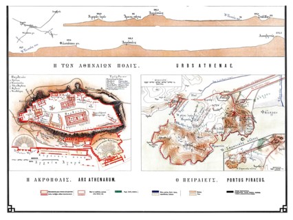
Historical map of ancient Athens from 1906, illustration comprising specific plans of H Acropolis
BRK26H31_469

Historical map of ancient Athens from 1906, illust...
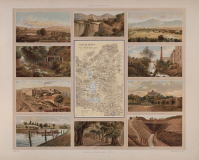
Map of Mexico surrounded by images of the country's landmarks, illustration, reproduction from a
BRK26H21_133

Map of Mexico surrounded by images of the country'...
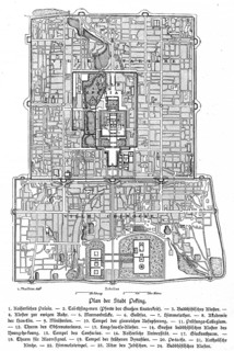
City map, Imperial Palace, Monastery, Gate of Heaven, Temple of Heaven, Observatory, Scale,
BRK26H01_385

City map, Imperial Palace, Monastery, Gate of Heav...
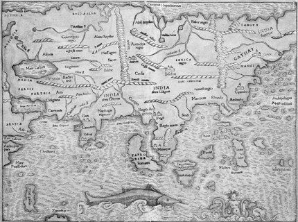
Asia, woodcut map from Sebastian Münster Cosmographey oder Beschreibung aller Länder, Basel 1578
BRK26G89_185

Asia, woodcut map from Sebastian Münster Cosmograp...
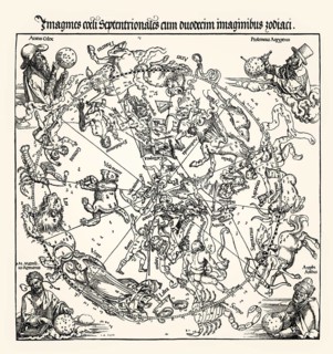
Northern Celestial Hemisphere by Albrecht Durer, woodcut, 1515
BRK26G61_281

Northern Celestial Hemisphere by Albrecht Durer, w...
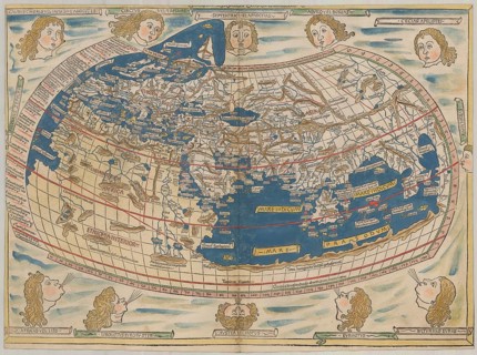
World map by Claudius Ptolemy or Ptolemy, colored woodcut by Johannes Schnitzer from Armsheim,
BRK26F58_082

World map by Claudius Ptolemy or Ptolemy, colored ...
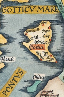
Gotland, detail from an antique historical map of Scandinavia Norbegia & Gottia by Lorenz Fries,
BRK26F95_077

Gotland, detail from an antique historical map of ...
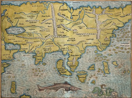
Asia, hand-coloured woodcut map from Sebastian Münster Cosmographey oder Beschreibung aller Länder,
BRK26D10_409

Asia, hand-coloured woodcut map from Sebastian Mün...
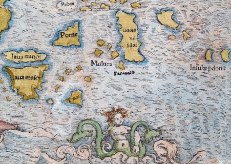
Indonesia, mermaid, detail, hand-coloured woodcut map from Sebastian Münster Cosmographey oder
BRK26D06_194

Indonesia, mermaid, detail, hand-coloured woodcut ...
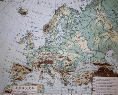
Map from 1890, elevation map of Europe, illustration, reproduction from a model from the 19th
BRK26E47_340

Map from 1890, elevation map of Europe, illustrati...
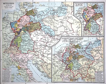
Map from 1890, Central Europe around 1811, Germany and the Confederation of the Rhine,
BRK26E36_051

Map from 1890, Central Europe around 1811, Germany...
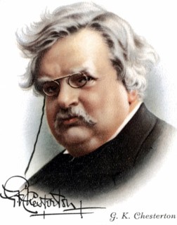
Gilbert Keith Chesterton (1874-1936) English novelist, poet and critic. Friend of Belloc. Convert
BRK26E15_164

Gilbert Keith Chesterton (1874-1936) English novel...
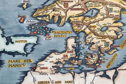
Detail from antique historical map of Scandinavia Norbegia & Gottia with Faroe Islands, Scotland,
BRK26D58_149

Detail from antique historical map of Scandinavia ...
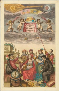
Title Page of Atlas Coelestius, seu Harmonia Macrocosmica, 1660, digital improved reproduction of a
BRK26D97_071

Title Page of Atlas Coelestius, seu Harmonia Macro...
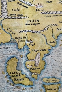
North India, Sumatra, Malaysia, detail, hand-coloured woodcut map from Sebastian Münster
BRK26C62_346

North India, Sumatra, Malaysia, detail, hand-colou...
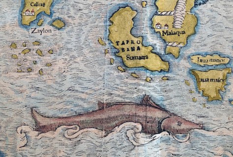
South India, Sumatra, Malaysia, sea monster, detail, hand-coloured woodcut map from Sebastian
BRK26C56_190

South India, Sumatra, Malaysia, sea monster, detai...
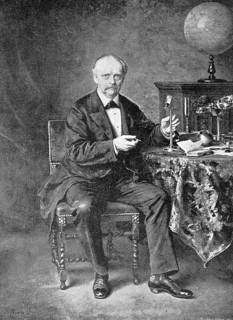
Hermann Ludwig Ferdinand Helmholtz, from 1883 von Helmholtz, (born 31 August 1821 in Potsdam, died
BRK26C04_203

Hermann Ludwig Ferdinand Helmholtz, from 1883 von ...
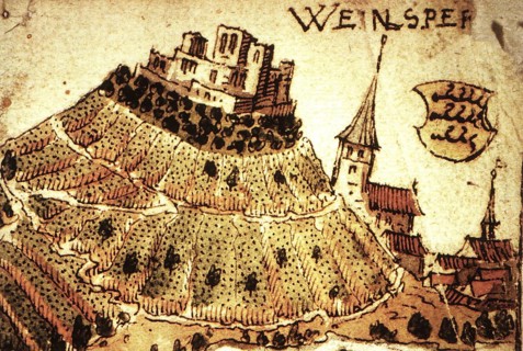
Weinsberg is a town in the district of Heilbronn, Baden-Württemberg, Germany. An early view of the
BRK26B77_136

Weinsberg is a town in the district of Heilbronn, ...
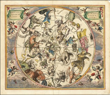
Celestial map entitled Hæmisphærium Stellatum Boreale Antiqvum, The Northern Stellar Hemisphere of
BRK26B12_019

Celestial map entitled Hæmisphærium Stellatum Bore...
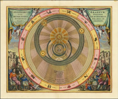
Planisphaerium Braheum, a famous historical celestial map illustrating the geo-heliocentric world
BRK26B12_023

Planisphaerium Braheum, a famous historical celest...
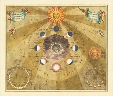
Historical copper engraving entitled Phases of the Moon comes from the famous celestial atlas
BRK26B12_034

Historical copper engraving entitled Phases of the...
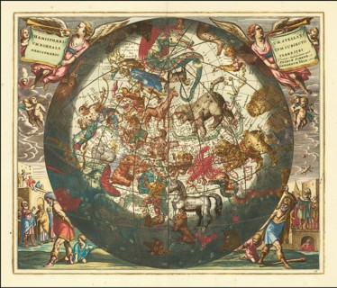
Sky map of the northern sky, known as Hemisphaerium Boreale or Northern Stellar Hemisphere, from
BRK26B12_036

Sky map of the northern sky, known as Hemisphaeriu...
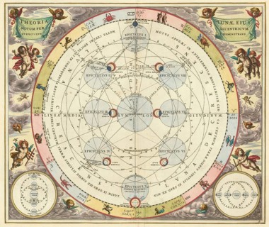
Historical astronomical map Theoria Lunae, Eius Motum per Eccentricum et Epicyclum Demonstrans, The
BRK26B12_044

Historical astronomical map Theoria Lunae, Eius Mo...
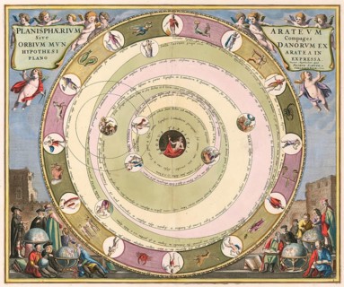
Planisphaerium of Aratos from the famous celestial atlas Harmonia Macrocosmica by Andreas Cellarius
BRK26B12_035

Planisphaerium of Aratos from the famous celestial...
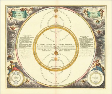
Historical illustration of the orbits of Mercury and Venus, which demonstrates the geoheliocentric
BRK26B12_046

Historical illustration of the orbits of Mercury a...
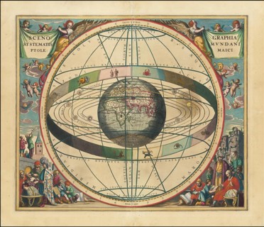
Historical sky map known as Scenographia Systematis Mundani Ptolemaic. It is a representation of
BRK26B07_430

Historical sky map known as Scenographia Systemati...
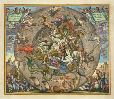
Sky map Hemisphaerii Borealis Coeli et Terrae Sphaerica Scenographia, spherical representation of
BRK26B12_025

Sky map Hemisphaerii Borealis Coeli et Terrae Spha...
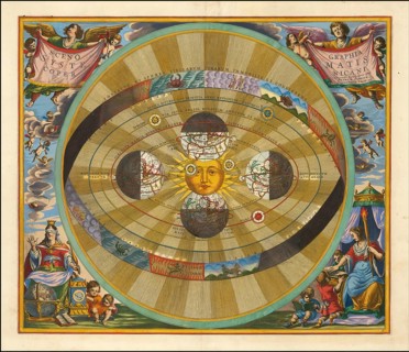
Scenographia Systematis Copernicani, scenography of the Copernican system. It comes from the
BRK26B12_043

Scenographia Systematis Copernicani, scenography o...
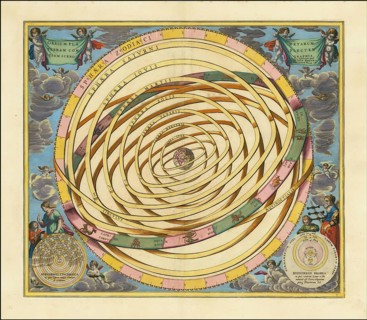
Orbium Planetarum Terram Complectentium Scenographia by Andreas Cellarius, a famous sky map that
BRK26B12_029

Orbium Planetarum Terram Complectentium Scenograph...
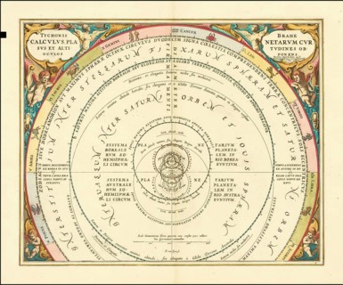
Historical presentation of the tychonic world view created by Andreas Cellarius around 1660. The
BRK26B07_429

Historical presentation of the tychonic world view...
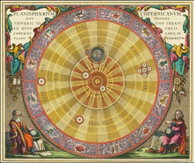
Planisphaerium Copernicanum sky diagram by Andreas Cellarius. It comes from his atlas Harmonia
BRK26B12_022

Planisphaerium Copernicanum sky diagram by Andreas...
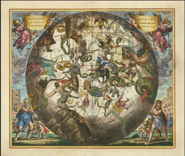
Ancient star map, specifically a depiction of the southern hemisphere, Haemisphaerium Stellatum
BRK26B12_027

Ancient star map, specifically a depiction of the ...
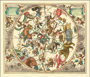
Haemisphaerium Stellatum Boreale Antiquum, a historical celestial map depicting the constellations
BRK26B12_040

Haemisphaerium Stellatum Boreale Antiquum, a histo...
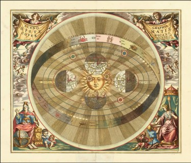
Scenographia Systematis Copernicani, scenography of the Copernican system, a celestial map
BRK26B12_041

Scenographia Systematis Copernicani, scenography o...
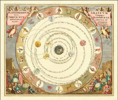
Planisphaerium Arateum, part of the famous celestial atlas Harmonia Macrocosmica by Andreas
BRK26B12_030

Planisphaerium Arateum, part of the famous celesti...
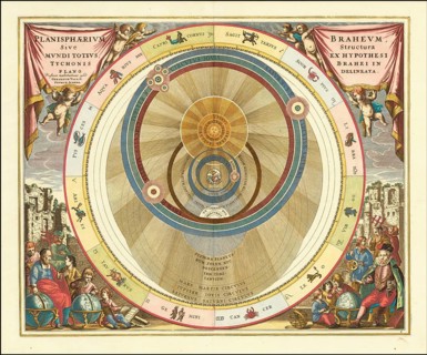
A 17th century illustration of Tycho Brahe's geo-heliocentric model of the universe. The image is
BRK26B12_031

A 17th century illustration of Tycho Brahe's geo-h...
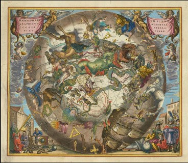
Celestial map of the southern hemisphere with the title Haemisphaerium Scenographicum Australe
BRK26B12_028

Celestial map of the southern hemisphere with the ...
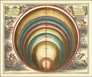
Sky map with the title Corporum Coelestium Magnitudines, The Sizes of Celestial Bodies, by Andreas
BRK26B12_018

Sky map with the title Corporum Coelestium Magnitu...
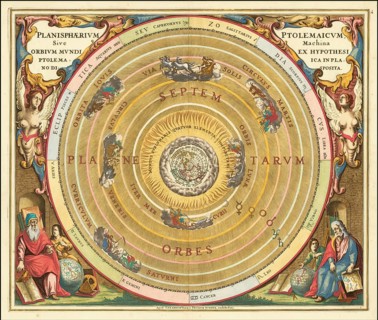
Historical celestial map depicting the Ptolemaic, geocentric, world view. The illustration comes
BRK26B12_024

Historical celestial map depicting the Ptolemaic, ...
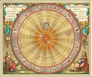
Historical astronomical map titled Planisphaerium Copernicanum. It comes from the atlas Harmonia
BRK26B12_032

Historical astronomical map titled Planisphaerium ...
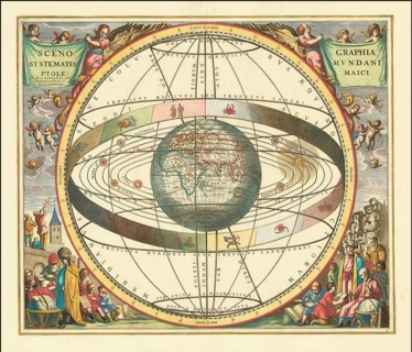
Historical sky map with Ptolemy's geocentric world view. This illustration is from the famous sky
BRK26B12_021

Historical sky map with Ptolemy's geocentric world...
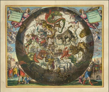
Haemisphaerium Stellatum Boreale cum Subiecto Hæmisphaerio Terrestri, Northern Star Hemisphere with
BRK26B12_026

Haemisphaerium Stellatum Boreale cum Subiecto Hæmi...
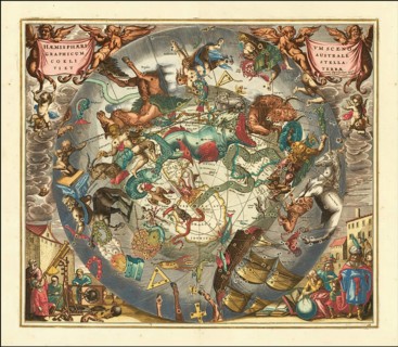
Historical sky map Haemisphaerium Scenographicum Australe Coeli Stellati et Terrae by German
BRK26B12_039

Historical sky map Haemisphaerium Scenographicum A...
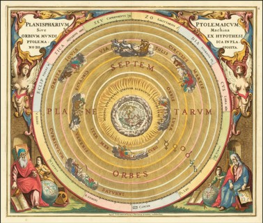
Presentation of the geocentric world view based on Claudius Ptolemy, as illustrated by Andreas
BRK26B12_033

Presentation of the geocentric world view based on...
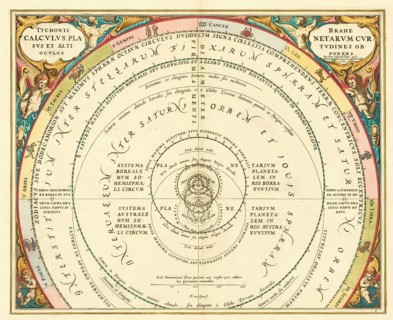
Historical presentation of the Tychonic world system, Tychonis Calculus, which was made by Andreas
BRK26B12_017

Historical presentation of the Tychonic world syst...
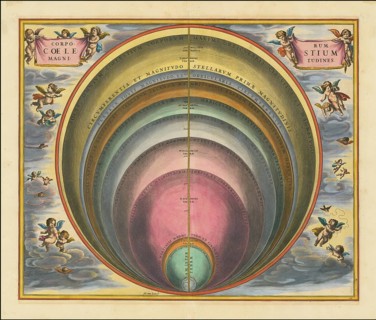
Historical sky map Corporum Coelestium Magnitudines, The sizes of celestial bodies, by Andreas
BRK26B12_038

Historical sky map Corporum Coelestium Magnitudine...
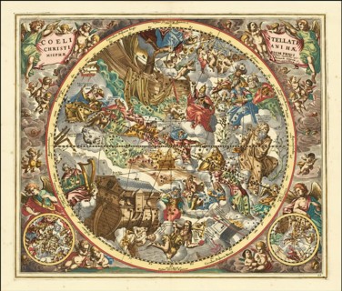
Sky map titled Coeli Stellati Christiani Haemisphaerium Prius, First Hemisphere of the Christian
BRK26B12_042

Sky map titled Coeli Stellati Christiani Haemispha...
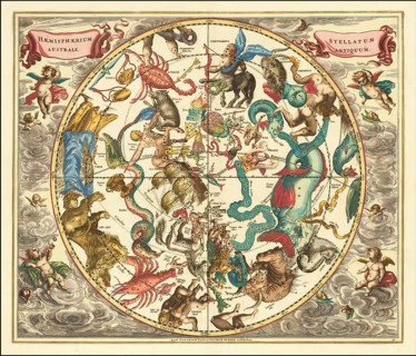
Historical sky map titled Haemisphaerium Stellatum Australe Antiquum, Ancient Southern Half of
BRK26B12_047

Historical sky map titled Haemisphaerium Stellatum...
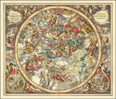
Historical sky map titled Coeli Stellati Christiani Haemisphaerium Posterius. It comes from the
BRK26B12_048

Historical sky map titled Coeli Stellati Christian...
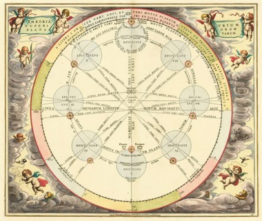
Theoria Trium Superiorum Planetarum sky map, theory of the three upper planets, by Andreas
BRK26B12_016

Theoria Trium Superiorum Planetarum sky map, theor...
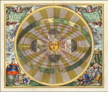
Historical map titled Scenographia Systematis Copernicani, scenography of the Copernican system. It
BRK26B12_020

Historical map titled Scenographia Systematis Cope...
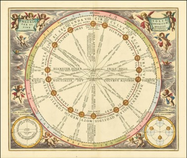
Historical sky map with the title Theoria Solis per Eccentricum sine Epicyclo, Theory of the Sun by
BRK26B12_037

Historical sky map with the title Theoria Solis pe...
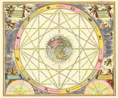
Celestial map Typus Aspectuum Oppositionum et Coniunctionum etz in Planetis by Andreas Cellarius,
BRK26B12_045

Celestial map Typus Aspectuum Oppositionum et Coni...
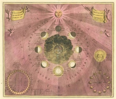
Historical astronomical depiction of the phases of the moon with the title Type Seleno Lunae Phases
BRK26B12_015

Historical astronomical depiction of the phases of...
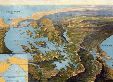
Panama Canal in 1913, map, Panama, authentic reproduction of a school mural, historical, exact date
BRK26A05_086

Panama Canal in 1913, map, Panama, authentic repro...
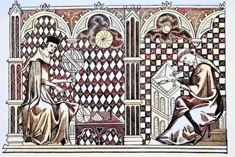
Mathematician monks, one teaching the globe, the other copying a manuscript after a miniature from
BRK25H78_367

Mathematician monks, one teaching the globe, the o...
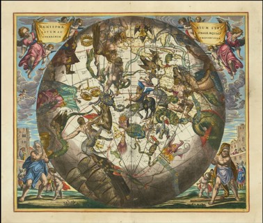
Haemisphaerium Stellatum Australe Cum Aequali Sphaerarum Proportione, 1660, digitally improved
BRK25E14_126

Haemisphaerium Stellatum Australe Cum Aequali Spha...
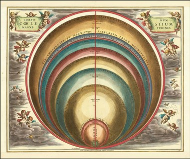
The magnitude of various celestial bodies and stars, 1660, digital improved reproduction of a work
BRK25E19_421

The magnitude of various celestial bodies and star...
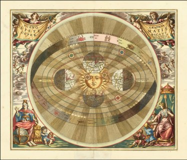
Copernicus' heliocentric model of the universe, 1660, digitally improved reproduction of a work of
BRK25E16_048

Copernicus' heliocentric model of the universe, 16...
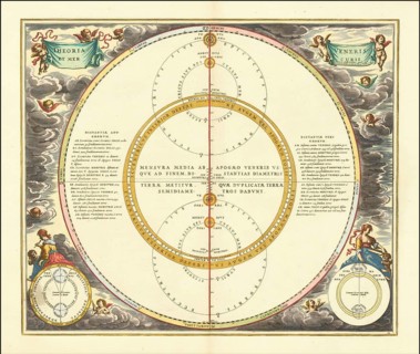
Die Bewegungen von Venus und Merkur, 1660, digital verbesserte Reproduktion eines Werkes von
BRK25D82_038

Die Bewegungen von Venus und Merkur, 1660, digital...
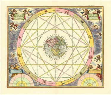
Typus Aspectuum Oppositionum Et Coniunctionum Etz In Planetis, 1660, digitally improved
BRK25D87_288

Typus Aspectuum Oppositionum Et Coniunctionum Etz ...
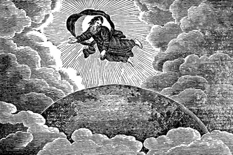
The creation of the world, creation story, God in heaven hovers over the earth, rays of light,
BRK25D95_209

The creation of the world, creation story, God in ...
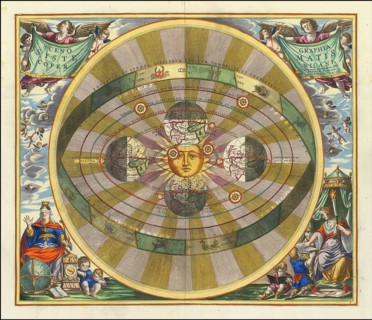
Scenographia Systematis Copernicani, 1660, digital improved reproduction of a work by Andreas
BRK25C76_458

Scenographia Systematis Copernicani, 1660, digital...
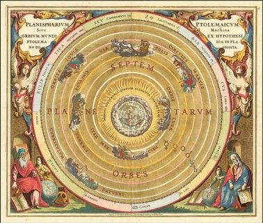
Claudius Ptolemy's geocentric model of the Universe, 1660, digital improved reproduction of a work
BRK25C79_440

Claudius Ptolemy's geocentric model of the Univers...
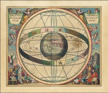
Celestial map, Scenographia Systematis Mundani Ptolemaici, 1660, digital improved reproduction of a
BRK25C61_265

Celestial map, Scenographia Systematis Mundani Pto...
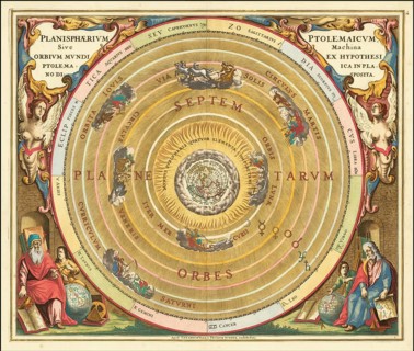
Planisphaerium Ptolemaicum, Sive Machina Orbium Mundi Ex Hypothesi Ptolemaica In Planno Disposita,
BRK25C64_021

Planisphaerium Ptolemaicum, Sive Machina Orbium Mu...
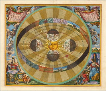
Heliocentric model of the universe, as proposed by Nicolaus Copernicus, 1660, digital improved
BRK25C78_195

Heliocentric model of the universe, as proposed by...
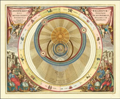
Danish astronomer Tycho Brahe's model of the universe, 1660, digital improved reproduction of a
BRK25C75_196

Danish astronomer Tycho Brahe's model of the unive...
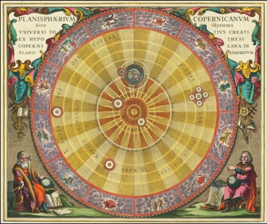
Planisphaerium Copernicanum Sive Systema Universi Totius Creati Ex Hypothesi Copernicana In Plano
BRK25C61_266

Planisphaerium Copernicanum Sive Systema Universi ...
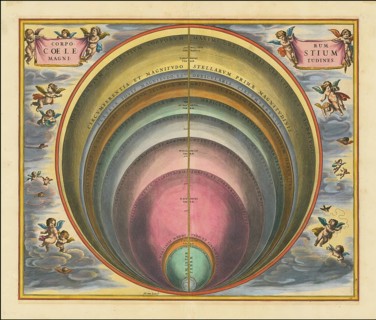
Corporum Coelestium Magnitudines, 1660, digitally improved reproduction of a work by Andreas
BRK25C63_023

Corporum Coelestium Magnitudines, 1660, digitally ...
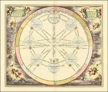
Die Theorie der Epizyklen, 1660, digitally improved reproduction of a work by Andreas Cellarius
BRK25C89_391

Die Theorie der Epizyklen, 1660, digitally improve...
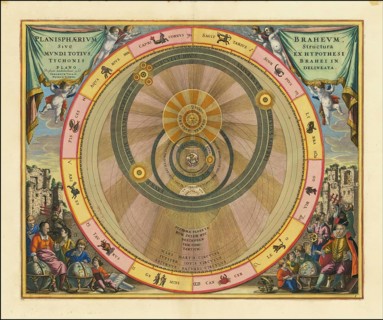
Planisphaerium Braheum Sive Structura Mundi Totius Ex Hypothesi Tychonis Braehi In Plano Delineata,
BRK25C67_386

Planisphaerium Braheum Sive Structura Mundi Totius...
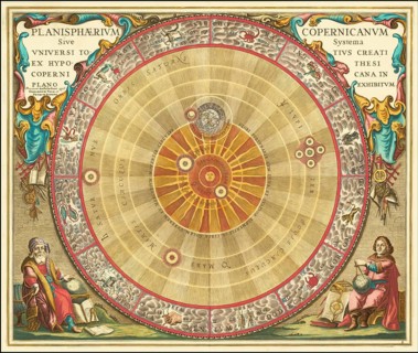
Copernican astronomical chart in the form of the concentric circles, 1660, digital improved
BRK25C67_385

Copernican astronomical chart in the form of the c...
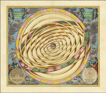
Orbium Planetarum Terram Complectentium Scenographia, 1660, digitally improved reproduction of a
BRK25B97_269

Orbium Planetarum Terram Complectentium Scenograph...
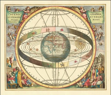
Ptolemaic Solar System, Scenographia Systematis Mundani Ptolemaici, 1660, digital improved
BRK25B41_367

Ptolemaic Solar System, Scenographia Systematis Mu...
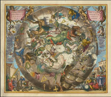
Haemisphaerium Scenographicum Australe Coeli Stellati Et Terrae, 1660, digital improved
BRK25A78_182

Haemisphaerium Scenographicum Australe Coeli Stell...
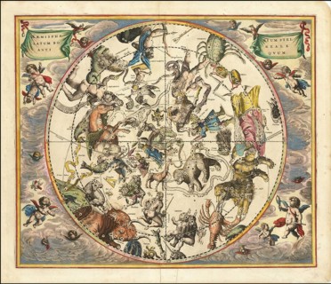
The constellations of the Northern Hemisphere superimposed over the earth's Southern Hemisphere,
BRK25A64_207

The constellations of the Northern Hemisphere supe...
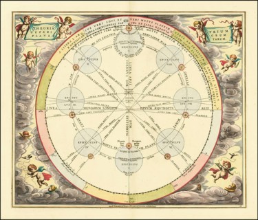
Theoria Lunae, Eius Motum Per Eccentricum Et Epicyclum Demonstrans, 1660, digitally improved
BRK25A85_191

Theoria Lunae, Eius Motum Per Eccentricum Et Epicy...
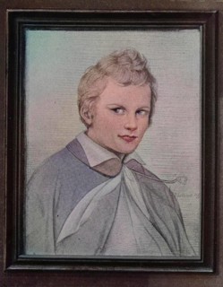
Karl Friedrich Schinkel, 1781-1841, Prussian architect, town planner and painter, who also designed
BRK24I73_084

Karl Friedrich Schinkel, 1781-1841, Prussian archi...
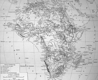
Map of Africa in 1884, Historical, digitally restored reproduction from a 19th century original, c.
BRK24I50_112

Map of Africa in 1884, Historical, digitally resto...
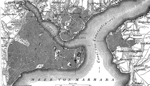
Map of Constantinople, Istanbul, and suburbs and Bosporus, Turkey, in 1880, Historical, digital
BRK24H54_053

Map of Constantinople, Istanbul, and suburbs and B...
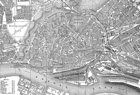
City map of Hamburg, Germany, in 1885, Historical, digital reproduction of an original from the
BRK24E75_076

City map of Hamburg, Germany, in 1885, Historical,...
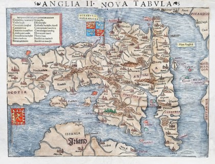
England and Scotland, hand-coloured woodcut map from Sebastian Muenster Cosmographey oder
BRK24C52_365

England and Scotland, hand-coloured woodcut map fr...

  • Page
  • of
  • 4