Caption
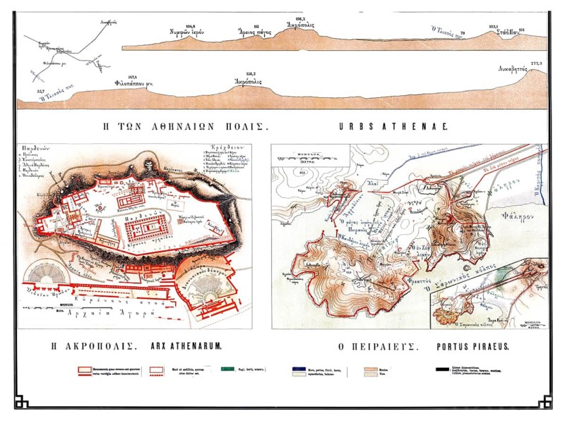
Historical map of ancient Athens from 1906, illustration comprising specific plans of H Acropolis and O Peiraieus, Portus Piraeus, as well as an elevation profile of the city, historical school painting or wall painting from around 1900, high-quality reproduction
Date
Jul 26, 2026
Credit line
Photo12/ImageBROKER/Sunny Celeste
Reference
BRK26H31_469
Model release
No
Property release
No
License type
Royalty free
Available size
310.7Mb (103.6Mb) / 40.1in x 30.1in / 12025 x 9030 (300dpi)