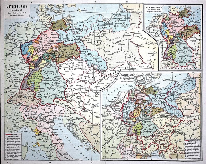
Caption
Map from 1890, Central Europe around 1811, Germany and the Confederation of the Rhine, illustration, reproduction from a model from the 19th century. Authentic, file restored for optimal use, exact date of original unknown, historical, historical map of Central Europe with a political focus on various regions
Date
Mar 16, 2026
Credit line
Photo12/ImageBROKER/Sunny Celeste
Reference
BRK26E36_051
Model release
No
Property release
No
License type
Royalty free
Available size
104.7Mb (34.9Mb) / 22.6in x 18.0in / 6776 x 5400 (300dpi)