98 résultats pour : england road map
- Page
-
- sur
- 1
Connectez-vous pour plus de résultats

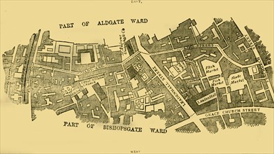
HRM25A27_187
Royal Air Force No. 2 School of Photography, Palat...
HRM25A15_101
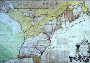
Map of the British Colonies in North America, c177...
HRM24A61_286
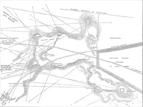
The Autumn Campaign: plan of Sir Hope Grant's intr...
HRM24A08_399
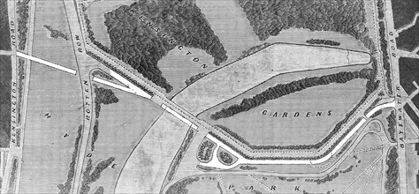
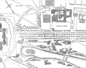
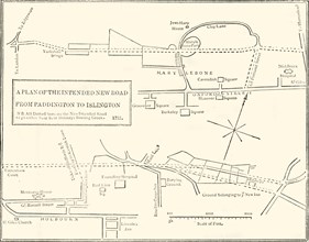
The proposed road through Hyde Park to the Interna...
HRM24A08_334
The Fatal Accident at New Hartley Colliery: Mr. Co...
HRM24A09_291
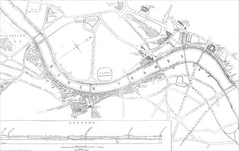
Plan of the Thames Embankment, 1862. Creator: John...
HRM24A09_223
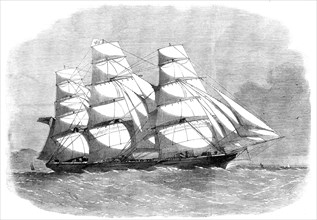
The iron clipper-ship Cornwallis, a new vessel of ...
HRM23B24_159
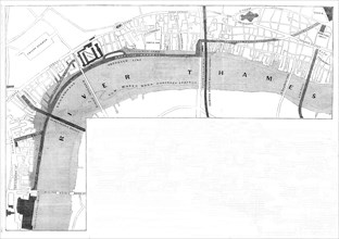
Plan of the proposed Thames Embankment, 1861. Crea...
HRM23A77_093
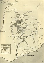
'Sketch Map of the Theatre of War in Ashanti, 1900...
HRM23A57_448
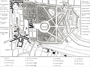
Plan of the New Opening into St. James's-Park, 185...
HRM23A08_438
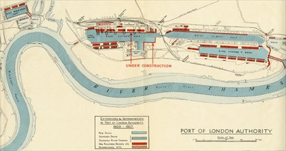
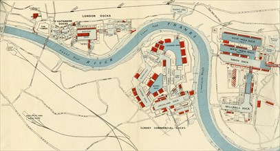
'Port of London Authority - Map', 1937. Creator: U...
HRM23A08_437
'Port of London Authority - Map', 1937. Creator: U...
HRM23A01_182
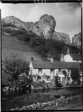
Mark Hole Cottage, The Cliffs, Cheddar, Sedgemoor,...

HRM22A18_097
Westway Flyover, A40, Paddington, City of Westmins...
HRM21B42_311
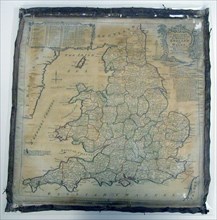
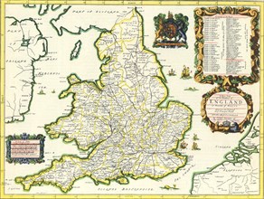
Panel (Map), England, 1784. Creator: Unknown.
HRM21A07_271
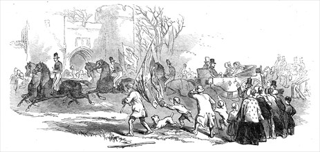
Trent Valley Railway - the Procession at Tamworth,...
HRM21A07_272
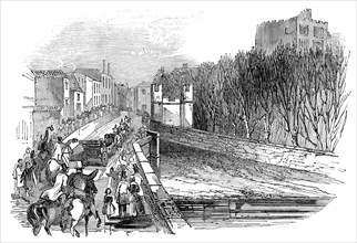
Sir Robert Peel entering Tamworth, 1845. Creator: ...
HRM19F22_447
'Kensington in 1764', (c1876)
HRM19F22_478
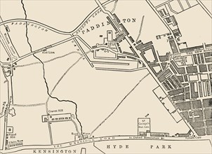
'Map of Paddington, in 1815'
HRM19F23_019
'Ground Plan of New Road from Islington to Edgware...
HRM19F13_439
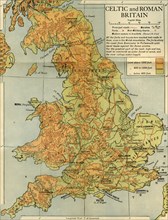
Celtic and Roman Britain', 1926.
HRM19F22_380
'Map of Belgravia, 1814'
HRM19E20_137
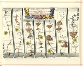
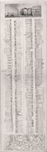
Britannia Atlas: The Continuation of the Road from...
HRM19E20_136
Britannia Atlas, 1675. Artist: Ogilby, John (1600-...
HRM19C81_471
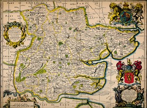
'Map of Essex', 1678. Artists: John Ogilby, Willia...
HRM19C34_207
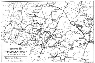
Roman roads into Hereford and Monmouth.Artist: Jam...
HRM19C82_028
'High Street & Garners Library from Marine Parade'...

HRM19D10_444
'King Charles II Visiting Wren During The Building...
HRM19C82_022
'High Street & Front of Bathing Houses', 1820. Art...
HRM19C82_024
'Marine Parade & Harbour', 1820. Artist: John Shur...
HRM19C82_021
'The Back of Bathing Houses', 1820. Artist: John S...
HRM19C53_278
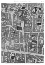
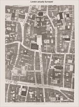
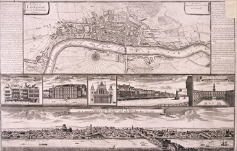
'London actually Surveyed', 1677 (1886).Artist: Wi...
HRM19C42_071
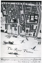
Map of London featuring Whitefriars, 1682 (1930).A...
HRM19D04_277
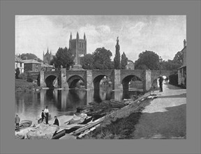
Hereford Cathedral and Wye Bridge, c1900. Artist: ...

HRM19C69_275
The Strand, 1560 (1897). Artist: Ralph Aggas.
HRM19C82_029
'Light House & Pier', 1820. Artist: John Shury.
HRM19C55_313
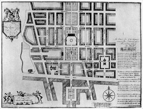
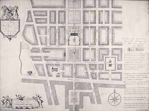
Plan of the Duke of Portland's estate, Soho Square...
HRM19D50_130
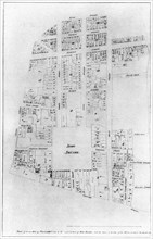
'Tower Street Ward', (c1872). Creator: Unknown.
HRM19C55_290
Plan of Lord Harley's estate, London, 1907. Artist...
HRM19C78_494
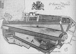
Plan of St James's Palace and Park in the time of ...
HRM19D10_442
'Public House Map of Liverpool', c1910, (1912). Ar...
HRM19D50_167
'Plan showing the Extent of the Great Fire in Corn...
HRM19C75_486
Map of Bishopsgate, City of London, c1599 (1904). ...
HRM19C71_173
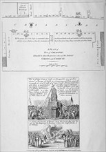
Plan of the route of the Queen's procession on Dia...
HRM19C79_046
Map of Rathbone Place and its neighbourhood, Westm...
HRM19D46_002
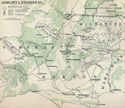
'Athelney & Ethandun 878', (1935). Artist: Unknown...
HRM19D50_010
'Fleet Street, The Temple, Etc.', (1897). Creator:...
HRM19D50_334
'York Place', (1881). Creator: Unknown.
HRM19C55_331
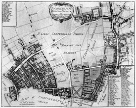
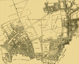
Map of Shoreditch, Norton Folgate and Cripplegate,...
HRM19D50_335
'Whitehall in the Reign of Henry VIII', (1881). Cr...
HRM19D50_112
'Ground Plan of the Modern Church of St. Martin Ou...
HRM19D50_102
'Wren's Plan for Rebuilding London', (1897). Creat...
HRM19D08_070
'Plan of Bremenium', 1902. Artist: Unknown.
HRM19D50_171
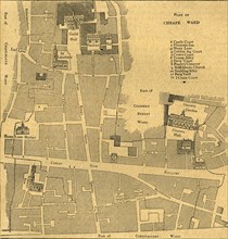
'Lime Street Ward', (c1872). Creator: Unknown.
HRM19D50_060
'Old Map of the Ward of Cheap - About 1750', (1897...
HRM19D04_219
London Actually Surveyed, 1886. Artist: Unknown.
HRM19D50_090
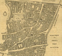
'Broad Street and Cornhill Wards', 1897. Creator: ...
HRM19D50_173
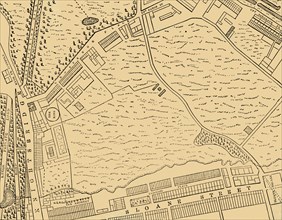
'Moorfields and its Neighbourhood (From a Map of a...
HRM19D50_301
'The Site of Leicester Square', (1881). Creator: U...
HRM19D50_109
'Cromwell House, From Aggas's Map', (1897). Creato...
HRM19D50_391
'Plan of a Portion of Westminster Between 1734 and...
HRM19D50_390
'Plan of a Portion of Westminster Between 1734 and...
HRM19D50_408
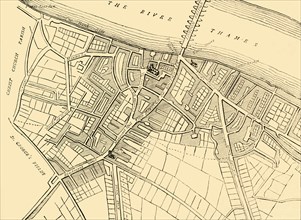
'Map of Southwark, 1720', (c1878). Creator: Unknow...
HRM19B61_399
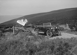
Kitty Brunell road testing a Riley 9 WD tourer, c1...
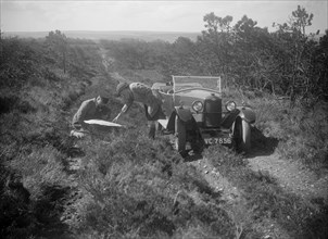
HRM19B61_417
MG M type of V Brook at the JCC Half-Day Trial, 19...
HRM19B62_402
British motoring photographer Bill Brunell with hi...
HRM19B61_397
Kitty Brunell road testing a Riley 9 WD tourer, c1...
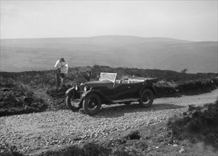
HRM19B61_393
Kitty Brunell road testing a Riley 9 WD tourer, c1...
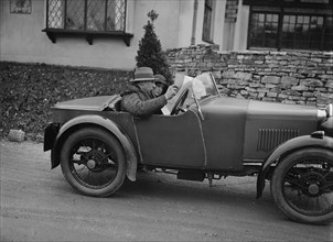
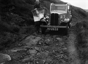
HRM19B60_239
Kitty Brunell road testing a Standard Little Twelv...
HRM19B61_422
Standard Swallow saloon of WD Budley at the JCC Ha...
HRM19B60_247
Kitty Brunell road testing a Standard Little Twelv...
HRM19B42_149
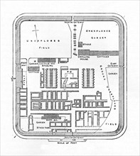
Priest's House, Small Hythe Road, Small Hythe, nea...
HRM19B60_236
Kitty Brunell road testing a Standard Little Twelv...
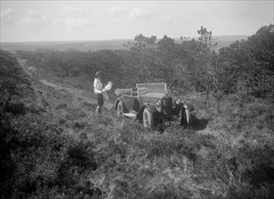
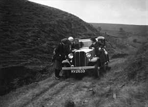
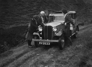
HRM19B62_348
Kitty Brunell road testing a Riley 9 tourer, c1930...
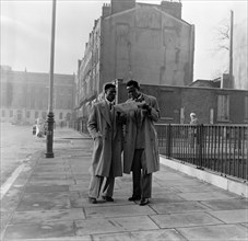
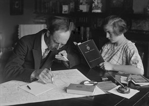
HRM19A83_365
Two Afro-Caribbean men reading a map in the street...
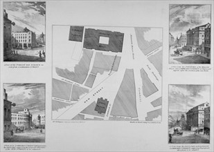
HRM19A96_344
Plan of proposals for King William Street, City of...

HRM19A88_429
An Ariel Red Hunter 350cc, 1956. Artist: Unknown
HRM19A96_054
Cheapside, City of London, 1585 (1814). Artist: Ba...
HRM19A97_074
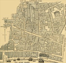
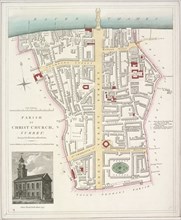
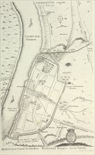
Map of the Parish of Christ Church in Southwark, L...
HRM19A96_052
Cheapside, City of London, 1809. Artist: Anon
HRM19B01_426
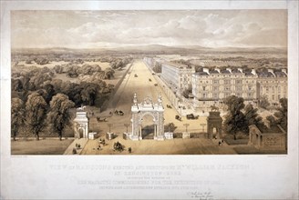
View of Queen's Gate, Hyde Park, Kensington, Londo...
HRM19B05_085
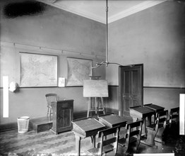
Boys sitting at their desks, Ashford Residential S...
HRM19A96_133
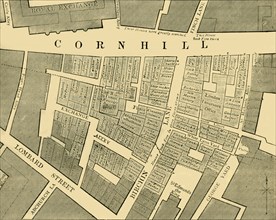
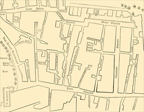
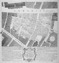
Plan of buildings destroyed in Cornhill by fire wh...
HRM19A77_009
The Hall, Crossfield Road, London, 1894
HRM19A95_073
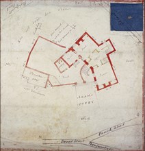
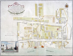
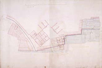
Plan of premises in Adams Court off Old Broad Stre...
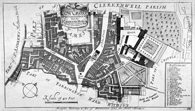
HRM19A98_149
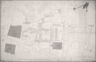
Map of Charterhouse and Cow Cross showing adjoinin...
HRM19A83_081
Earliest known map of Roman London, 1722. Artist: ...
HRM19A95_087
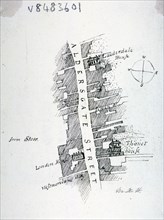
Aldersgate Street, London, c1800(?). Artist: Mary ...
HRM19A97_443
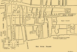
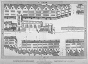
Plan of the fire that took place at Ratcliff in St...
HRM19B05_092
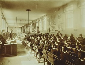
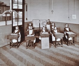
Geography lesson at Elm Lodge Residential School f...
HRM19A98_043
Priory of Holy Trinity, Duke's Place, City of Lond...
HRM19A76_231
City of London, c1560, (c1750). Artist: Anon
HRM19A76_318
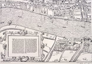
'Agas' Map of London, c1561. Artist: Unknown
HRM19A75_397
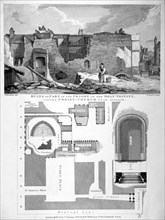
Plan of part of Christ's Hospital, Newgate Street ...
HRM19A75_398
Plan of Christ's Hospital, Newgate Street, London ...
HRM19A75_351
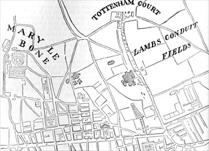
Plan of the area north of Oxford Street, London, 1...
HRM19A75_376
Plan of New Bridge Street, London, c1838. Artist: ...
HRM19A75_356