Sujet
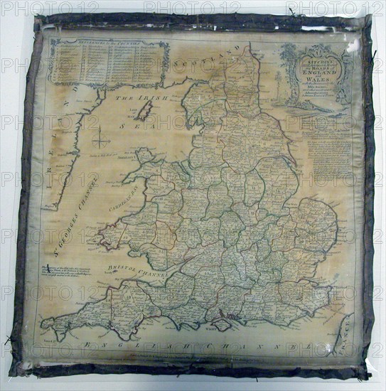
Panel (Map), England, 1784. Creator: Unknown.
Légende
Panel (Map), England, 1784. 'Kitchin's most Accurate Map of the Roads of England and Wales: with the distances by the Mile Stones, and other most exact Admensurations between Town & Town'.
Crédit
Photo12/Heritage Images/Heritage Art
Notre référence
HRM21B42_311
Model release
NA
Property release
NA
Licence
Droits gérés
Format disponible
69.6Mo (5.3Mo) / 41.5cm x 42.0cm / 4905 x 4960 (300dpi)