28 résultats pour : numerous border lines
- Page
-
- sur
- 1
Connectez-vous pour plus de résultats
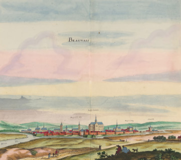
LZT26B23_467
Beauvais, View of the city of Beauvais, print, alb...
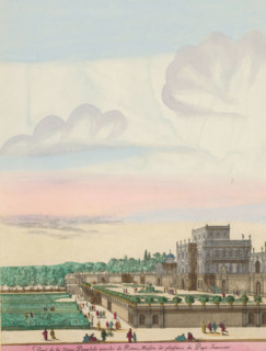
LZT26B24_020
Villa Doria Pamphilj and gardens in Rome, Veuë de ...

LZT26B46_022
Actual depiction of the strong city of Sluys, with...
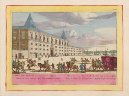
LZT26B28_433
The palace of Charles III, legitimate king of Spai...

LZT26B29_152
Western part of the Marquisate of Baden, situated ...

LZT26B29_153
Vigo, a Spanish city, fortress and port, Here, Sep...
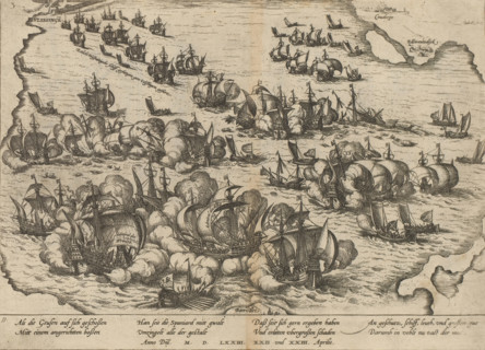
LZT26B29_406
Victory over the Spanish fleet at Vlissingen, 1573...

LZT26B29_155
t Landaw area, the diocese of Speir and the surrou...
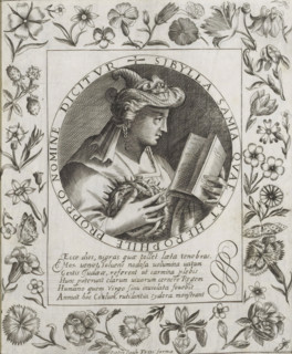
LZT26B26_092
Sibyl of Samos, Imagini Gentilissime delle dodici ...
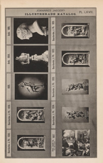
LZT26A79_368
Photo reproduction of nine sculptures and a painti...
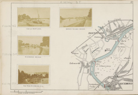
LZT26B07_210
View from Richmond Hill, photograph, page, photogr...
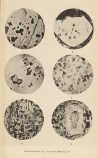
LZT26B00_222
Six microscopic enlargements of minerals, page, ph...
LZT26A75_138
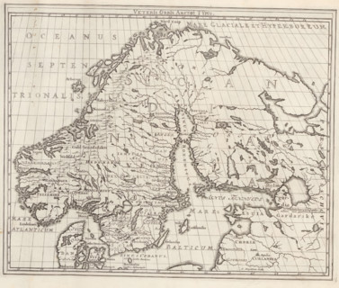
Veteris Orbis Arctoi Typus, Map of the Scandinavia...

LZT26B34_050
Historical map of the Netherlands with the territo...

LZT26B34_042
Descriptio veteris agri Batavi et Frisii, Historic...
LZT26B09_078
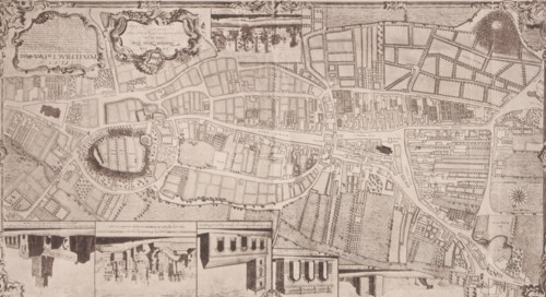
Reproduction of a map of Pontefract, reproduction,...

LZT26B34_041
Historical map of the Netherlands with the territo...
LZT26B34_052
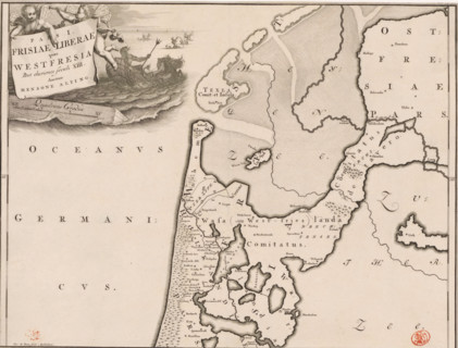
Pars I Frisiae Liberae quae Westfresia, Historical...
LZT26A75_157
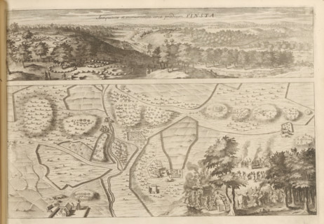
Panorama and map of the antiquities in Finsta, Ant...

LZT26B34_046
Historical map of the Netherlands with the territo...
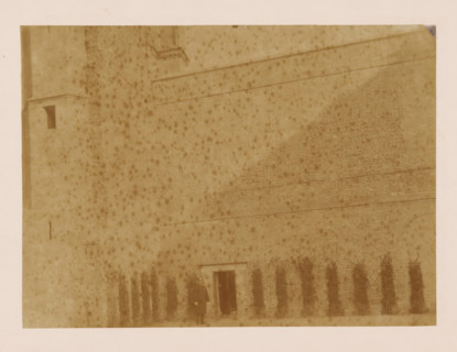
LZT26A76_127
West wall of the cloister at the Dom of Utrecht, p...

LZT26A75_142
Map of the Scandinavian countries in the modern er...
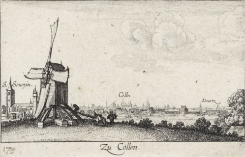
LZT26A83_190
View of Cologne with mill in foreground, Zu Cöllen...
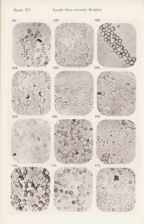
LZT26A99_181
Twelve enlargements of lymphocytes, page, photomec...
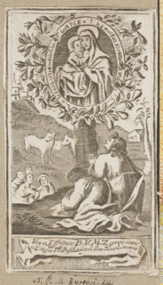
LZT26A33_332
Our Lady of Zyrowicka (painting), graphic artist, ...
LZT26A39_274
The miraculous painting of the Blessed Virgin Mary...

LZT26A74_281
Graphic matrix with maps marked with numbers 32, 3...
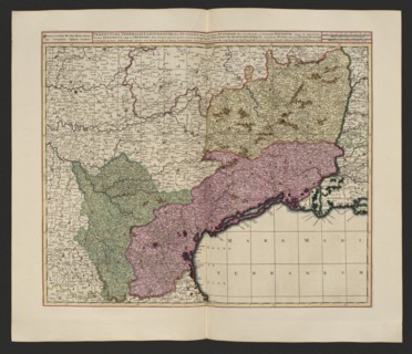
LZT26A06_312