Légende
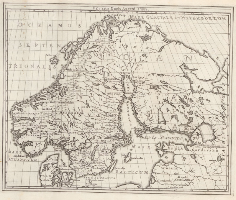
Veteris Orbis Arctoi Typus, Map of the Scandinavian Countries in Ancient Times, Suecia Antiqua et Hodierna, print, album page, folder, printmaker: Gerrit Drogenham, supervision: Erik Jönssen Dahlberg, 1695, paper, engraving, height 272 mm x width 334 mm, maps, atlases, Scandinavia, An antique-style engraved map showing a coastal and inland landscape with detailed shorelines, islands, peninsulas, rivers and lakes, a grid of parallel latitude and longitude lines, numerous small topographic symbols for mountains and hills, shaded coastal contours, and many clustered place labels rendered in small script; the map has a plain border with surrounding ruled lines and age spots and foxing on the paper, and the engraving exhibits fine linework and stippled shading throughout.
Crédit
Photo12/Liszt Collection
Notre référence
LZT26A75_138
Licence
Droits gérés
Format disponible
35.9Mo (7.5Mo) / 32.6cm x 27.6cm / 3848 x 3264 (300dpi)