132 résultats pour : historic map
- Page
-
- sur
- 2
Connectez-vous pour plus de résultats
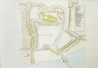
UMG26A25_289
Pianta della cittv† di Senigaglia, proveniente dal...
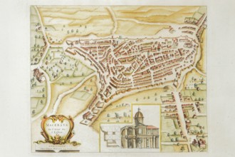
UMG26A25_285
Pierre Mortier, Map of Macerata de l'Etat de l'Egl...
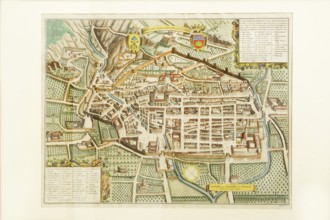
UMG26A25_284
Pierre Mortier, map of Gubbio, ancient royal city ...

UMG26A25_283
Joan Blaeu, Fanum Fortunae historical map of the c...
UMG23A59_427
A map of the Farne Island.
UMG23A42_278
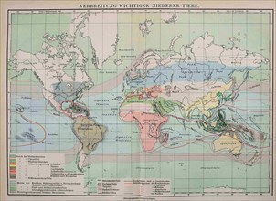
Map Of The Distribution Of Important Lower Animals
UMG23A39_254
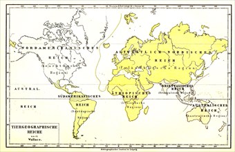
Animal Geographic World Map
UMG23A41_030
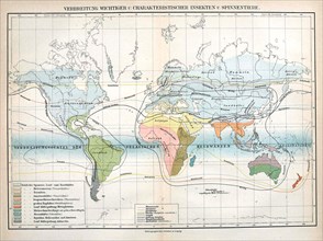
Insects
UMG23A00_015
Map of Carso Battlefield.
UMG23A00_243
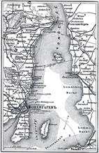
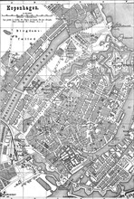
Map of Copenhagen.
UMG23A02_037
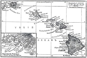
Map of Archipelago Hawaii.
UMG23A02_072
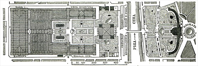
Paris Exhibition.
UMG23A02_073
Vienna Exhibition.
UMG23A02_038
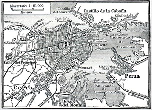
Plan of La Habana.
UMG23A02_039
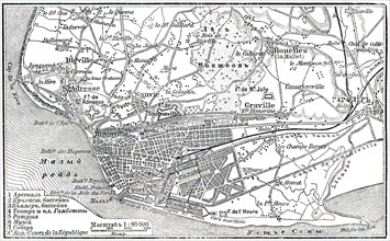
Plan of Le Havre.
UMG23A02_068
Berlin Exhibition.
UMG23A02_069
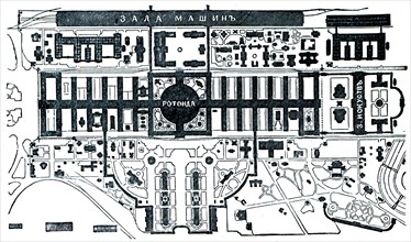
Paris Exhibition.
UMG23A02_070
Paris Exhibition.
UMG23A02_071
Paris Exhibition.
UMG22A63_367
Constance On Lake Constance In The Middle Ages
UMG22A60_101
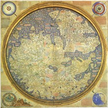
Fra Mauro Map
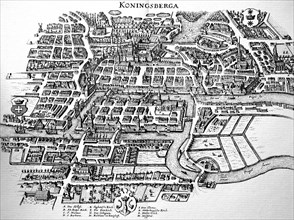
UMG22A63_380
Koenigsberg In The Middle Ages

UMG22A63_361
Augsburg
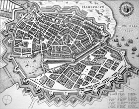
UMG22A63_383
Hamburg In The Middle Ages
UMG22A54_388
Géographie
UMG22A56_204
Géographie
UMG22A55_078
Géographie
UMG22A44_096
City map of Copenhagen
UMG22A43_475
Johann Samuel Heinrich Kiepert (b. July 31
UMG22A45_486
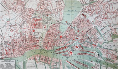
City map of Hamburg
UMG22A44_098
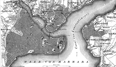
Map of Constantinople
UMG22A48_399
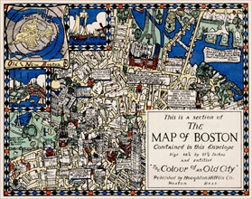
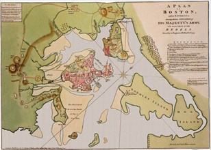
Section of the Map of Boston
UMG22A48_400
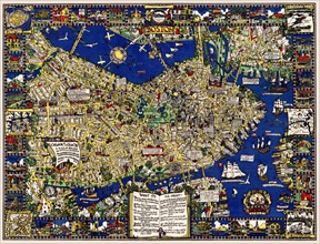
A map of Boston decorative AND historical
UMG22A41_319
Calcografia di Roma, 1779
UMG22A41_211
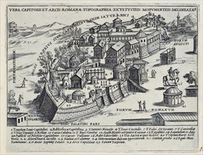
Splendore Dell' Antica Roma, c.1625
UMG22A41_212
Splendore Dell' Antica Roma, c.1625
UMG22A41_214
Splendore Dell' Antica Roma, c.1625
UMG22A41_190
Splendore Dell' Antica Roma, c.1625
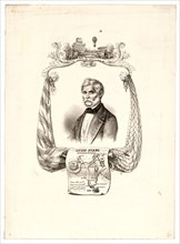
UMG22A27_339
portrait of Italian balloonist Luigi Piana. Includ...
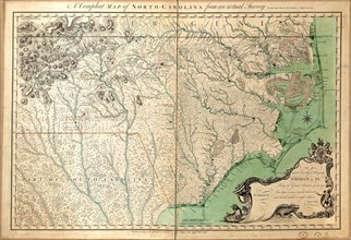
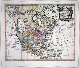
UMG22A24_363
Vintage Maps / Antique Maps - A compleat map of No...
UMG22A30_053
Vintage Maps / Antique Maps - To His Royal Highnes...
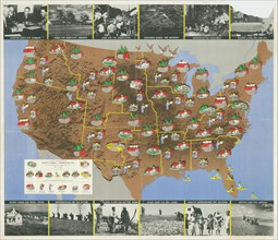
UMG22A17_439
1936 Resettlement Administration Projects Map CA 1...
UMG22A23_162
Weather Map Desk Weather Bureau Scottsbluff
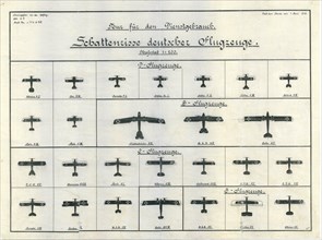
UMG22A20_140
German Aircraft Recognition Chart June 1918
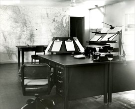
UMG22A20_026
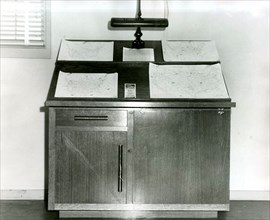
Forecast Desk With World Map on Wall Scottsbluff

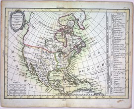
UMG22A06_449
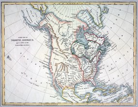
North America divided into its principal nations

UMG22A06_496
A new map of North America agreeable to the latest...
UMG22A04_187
Reichborns kart over Christiania
UMG22A03_495
Geelkercks kart over Christiania
UMG22A03_072
Linschotens kart over Vardø - Cartographer Jan Huy...
UMG22A03_311
Cornelis De Jodes verdenskart
UMG22A04_244
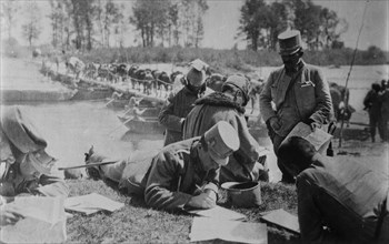
Austrian Staff studying maps
UMG21A22_217
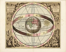
Cellarius' Scenographia Systematis Mundani Ptolema...
UMG21A22_218
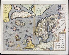
Abraham Ortelius nordenkart, 1601 - Map of Norther...
UMG21A22_215
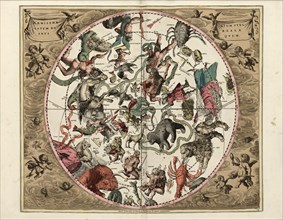
Cellarius' Hæmisphærium Stellatum Boreale Antiqvum...
UMG21A22_216
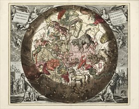
Cellarius' Hæmisphærium Stellatvm Boreale cvm Subi...
UMG21A22_213
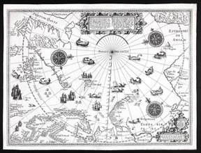
Barentskartet, 1598.
UMG21A22_214
Cartographer Vibe og Irgens - Vibe og Irgens kart ...

UMG21A23_234
President Obama conducts interviews in the Map R...
UMG21A17_269
How the Battle Lines Were Drawn
UMG21A09_209
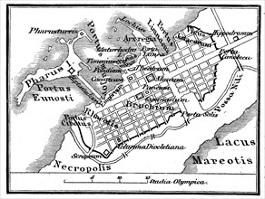
Map of Alexandria in Egypt in prehistoric times
UMG21A09_210
Map of Alexandria in Egypt in 1880 / Plan von Al...
UMG21A10_456
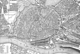
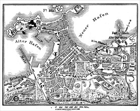
Map of Hamburg
UMG21A02_209
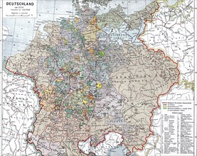
historical map of Germany in 1550 / historische ...
UMG21A01_416
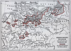
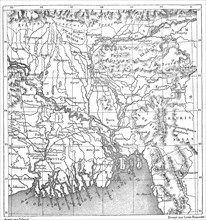
Map of Brandenburg and Prussia at the time of the ...
UMG21A02_192
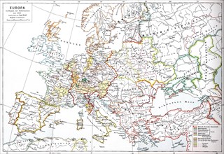
Map of Europe at the beginning of the Reformation ...
UMG21A02_232
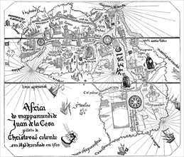
historical map from Africa to Juan de la Cosa
UMG21A02_043
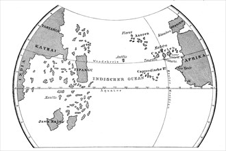
The world map of Toscanelli
UMG21A02_214
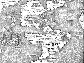
historical map with the view of America at the beg...
UMG21A01_407
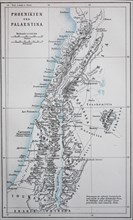
Map of ancient Phoenicia and Palestine / Landkar...
UMG21A01_408
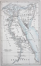
Map of ancient Egypt and Petraea / Landkarte des...
UMG21A02_085
Map of the discovery of the Antilles by Christophe...
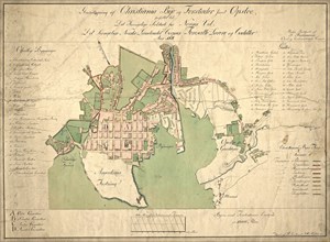
UMG21A00_312
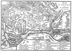
Map of the Battle of Belgrade on August 16
UMG21A02_207
historical map with an overview of Christopher Col...
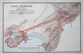
UMG21A01_411
old map of Athens and Peiraieus
UMG20B50_457
Historische Landkarte von Nevada mit der Stadt Vir...
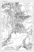
UMG20B50_459
Landkarte des Bundesstaat Utah
UMG20B50_261
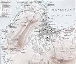
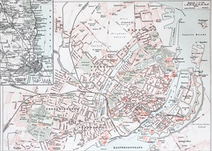
historical map of Capetown
UMG20B50_458
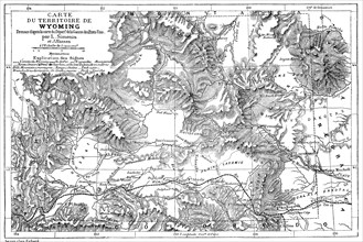
Landkarte des Bundesstaat Wyoming im Jahre 1882
UMG20B50_227
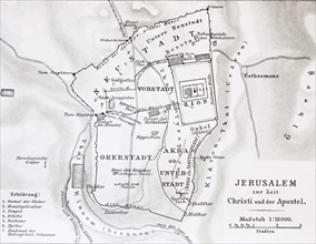
map of Jerusalem at the time of Jesus Christ
UMG20B50_386
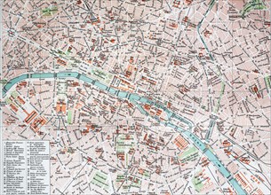
street map of Paris
UMG20B50_228
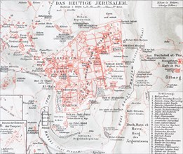
map of Jerusalem in the year 1888
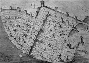
UMG20B50_250
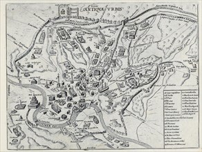
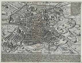
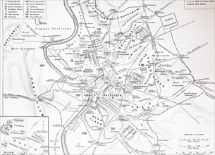
map of the historical Rome
UMG20B50_387
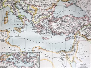
a historical map of the Byzantine Empire in the ye...
UMG20B50_249
a map of the historical Copenhagen
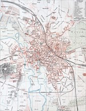
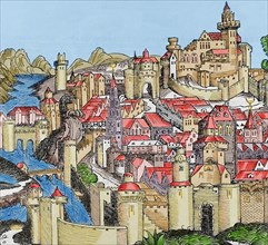
UMG20B50_212
a historical map of Hannover
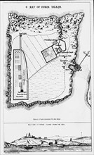
UMG20B50_456
Historische Landkarte von Südindien mit dem Delta ...
UMG20B50_196
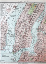
old city map of New York and Manhattan
UMG20B50_236
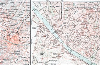
historical map of Firenze
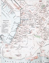
UMG20B50_265
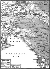
a historical map of Trieste
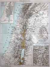
UMG20B49_064
the map of Palestine in the year 1886 / die Kart...
UMG20B49_153
The crusades were a series of religious wars in we...
UMG20B40_200
Italy, Pisa.
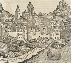
UMG20B36_195
Italy. Cities of Mantua, Bologna, Venice, Modena, ...
UMG20B36_314
Pisa. Italy. Engraving.
UMG20B36_196
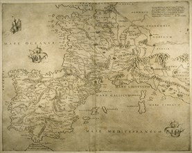
Map of the British Isles. 16th century. 1543
UMG20B36_199
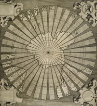
World map. South Pole. Map by Antonius Florianus. ...
UMG20B36_317
France. Lyon. Engraving.
UMG20B36_200
Iberian Peninsula, France and northern Italy.
UMG20B36_290
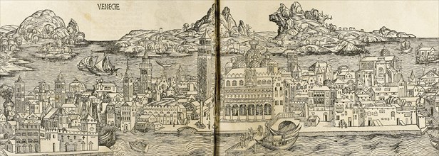
Venice. Italy. Engraving.
- Page
-
- sur
- 2