Sujet
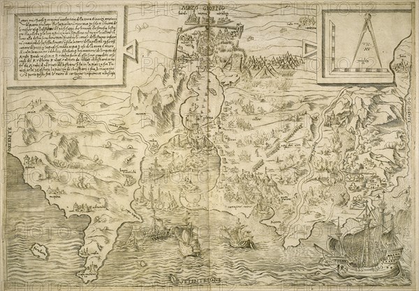
Map of the British Isles. 16th century. 1543
Légende
Map of the British Isles. 16th century. 1543 (Photo by: PHAS/UIG)
Date
1754
Crédit
Photo12/UIG/PHAS
Notre référence
UMG20B36_196
Model release
NA
Property release
NA
Licence
Droits gérés
Format disponible
64.6Mo (8.7Mo) / 48.2cm x 33.6cm / 5695 x 3967 (300dpi)