Sujet
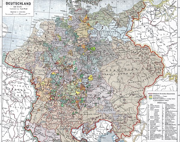
historical map of Germany in 1550 / historische Landkarte von Deutschland im Jahre 1550
Légende
historical map of Germany in 1550
Crédit
Photo12/Universal Images Group/Bildagentur-online
Notre référence
UMG21A02_209
Licence
Droits gérés
Format disponible
56.7Mo (11.1Mo) / 42.3cm x 33.6cm / 5000 x 3966 (300dpi)