Sujet
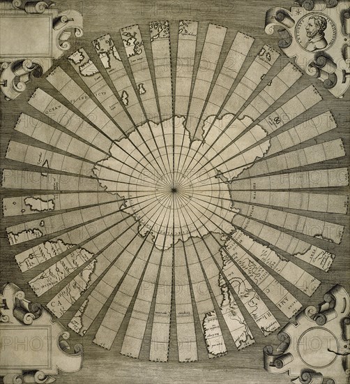
World map. South Pole. Map by Antonius Florianus. Engraving by 16th century.
Légende
World map. South Pole. Map by Antonius Florianus. Engraving by 16th century. (Photo by: PHAS/UIG)
Date
1754
Crédit
Photo12/UIG/PHAS
Notre référence
UMG20B36_199
Model release
NA
Property release
NA
Licence
Droits gérés
Format disponible
76.9Mo (10.7Mo) / 42.0cm x 45.9cm / 4956 x 5420 (300dpi)