Sujet
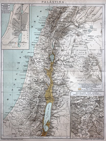
the map of Palestine in the year 1886 / die Karte von Palästina im Jahr 1886
Légende
the map of Palestine in the year 1886 / die Karte von Palästina im Jahr 1886, Historisch, digital improved reproduction of an original from the 19th century / digitale Reproduktion einer Originalvorlage aus dem 19. Jahrhundert,.
Crédit
Photo12/UIG/Bildagentur-online
Notre référence
UMG20B49_064
Licence
Droits gérés
Format disponible
29.9Mo (3.6Mo) / 23.8cm x 31.5cm / 2812 x 3718 (300dpi)