Sujet
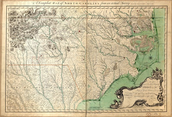
Vintage Maps / Antique Maps - A compleat map of North-Carolina from an actual survey ca. 1770
Légende
Vintage Maps / Antique Maps - A compleat map of North-Carolina from an actual survey.
Crédit
Photo12/Universal Images Group/HUM Images
Notre référence
UMG22A24_363
Model release
Non
Property release
Non
Licence
Droits gérés
Format disponible
23.8Mo (3.7Mo) / 29.5cm x 20.2cm / 3488 x 2381 (300dpi)