26 résultats pour : seven years' war of the north
- Page
-
- sur
- 1
Connectez-vous pour plus de résultats
HRM26A14_256
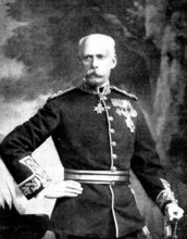
The late Sir Henry Havelock-Allan, V.C., M.P., 189...
HRM26A09_073
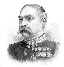
The late Lieut.-General Sir C. C. Fraser, V.C., 18...

HRM25A57_043
The Forth Bridge: room for the Prince of Wales and...
HRM25A41_021
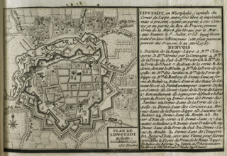
Map of Lippstadt (Germany), 1757-1758 (1765). Crea...
HRM25A41_014
Seven Years War (1756-1763): Map of the Battle of ...
HRM25A41_031
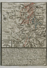
Seven Years War (1756-1763): Map of the Battle of ...
HRM25A41_049
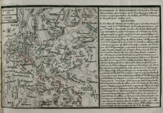
Seven Years War (1756-1763): Map of the Battle of ...
HRM25A41_050
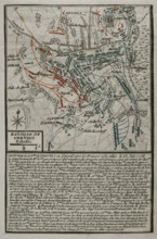
Seven Years War (1756-1763): Map of the Battle of ...
HRM25A41_018
Seven Years War (1756-1763): Plan of the Battle of...
HRM25A41_051
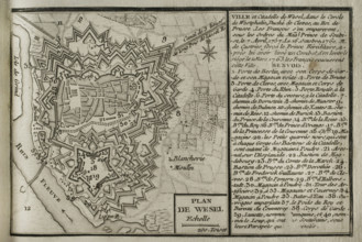
Plan of Wesel and its citadel, North Rhine-Westpha...
HRM25A41_028
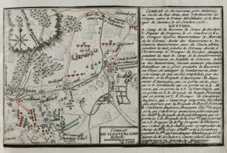
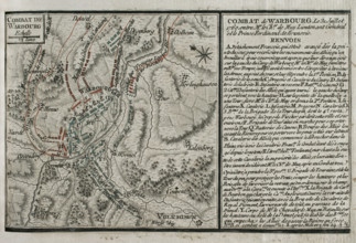
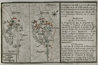
Seven Years War (1756-1763): Combat of Mehr (Augus...
HRM25A41_001
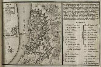
Map of Dusseldorf, 1758 (1765). Creator: Jean de B...
HRM25A41_033
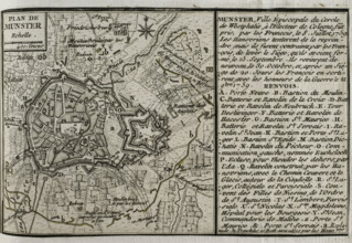
Seven Years War (1756-1763): Plan of Münster, 1759...
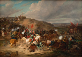
HRM25A31_461
Daniel Rantzau seizes Tureby Bridge in Skåne durin...
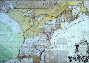
HRM25A15_101
Map of the British Colonies in North America, c177...
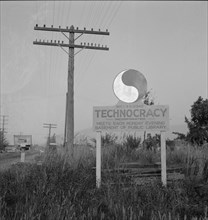
HRM22A52_127
New sign, erected seven years after Howard Scott t...
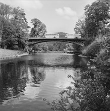
HRM22A18_042
Waterloo Bridge, Betws Y Coed, Wales, 15/05/1954. ...
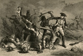
HRM19F13_209
Montcalm Trying To Stop The Massacre', (1877).
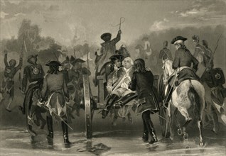
HRM19F13_208
Braddock's Retreat', (1877).
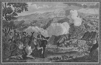
HRM19D55_300
'The Battle of Minden, or Thornhausen, in Westphal...
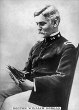
HRM19C62_375
William Gorgas, (1854-1920), 1920s. Artist: Unknow...
HRM19C49_095
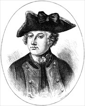
Sir Jeffery Amherst, 18th century British soldier,...
HRM19C13_379
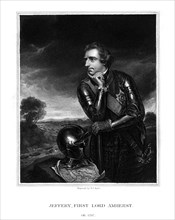
Jeffery Amherst, 1st Baron Amherst, Commander-in-C...
HRM19C50_368
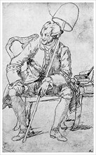
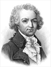
John Wilkes, English politician, 1762-1763 (1895)....
HRM19C50_367
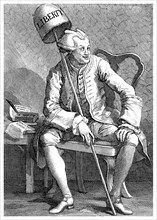
John Wilkes, English politician, 1763 (1895). Arti...
HRM19B63_492