26 résultats pour : portolan
- Page
-
- sur
- 1
Connectez-vous pour plus de résultats
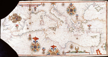
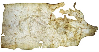
HRM25A47_071
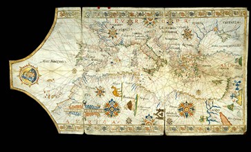
Nautical chart of the Mediterranean Sea, Early16th...
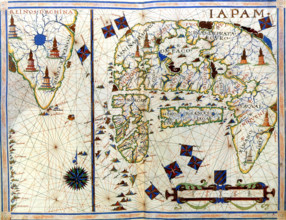
HRM25A48_491
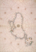
Nautical chart of Japan and Korea, 1568. Creator: ...
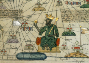
HRM25A14_499
Mansa Musa, King of Mali, 1375. Depiction of Mansa...
HRM25A14_482
Map of Europe, North Africa and the Mediterranean,...
HRM25A14_492
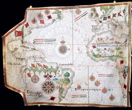
Chart of the Atlantic Ocean, c1535-1542. The map i...
HRM25A14_491
Map of Mexico, 1567. Mexico, conquered by the Span...
HRM25A14_278
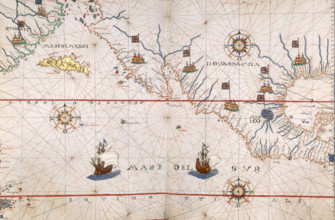
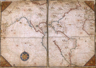
Chart of the Gulf of Mexico and the Pacific Ocean,...
HRM25A14_377
Map of Eastern Europe and the Byzantine Empire, Ca...
HRM25A14_277
Map of the Black Sea coastline, 1536. The coast of...
HRM25A14_274
World Map, 1562. The map suggests that North Ameri...
HRM25A14_283
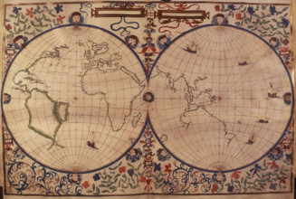
World Map, 1542. On the left is the 'New World', t...
HRM25A14_284
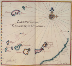
Map of the Canary Islands, 17th century. 'Caerte v...
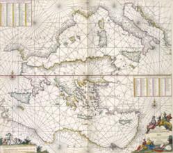
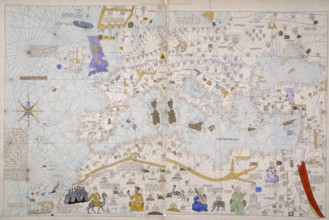
HRM25A14_497
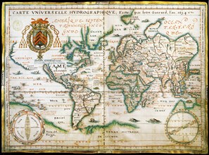
Maps of the Mediterranean, 1682. The upper half is...
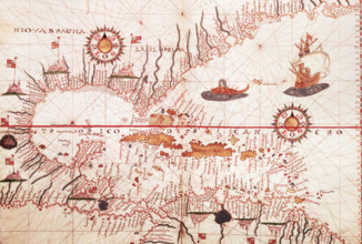
HRM25A15_417
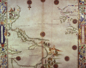
Map of the Caribbean, c1578. Showing 'Niova Spagna...
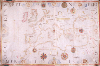
HRM25A15_432
Map of Europe, 1570. The traditional portolan char...
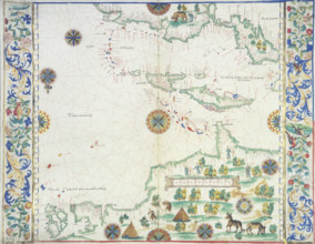
HRM25A14_271
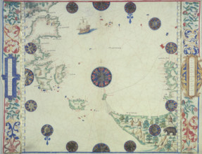
Map of the Caribbean, 1542. Map showing 'Couba' (C...
HRM19F13_197
Portolan chart of the Mediterranean Sea, the Black...
HRM19E20_143
The Selden Map of China. Artist: Chinese Master
HRM19E53_405
Nautical chart, 1558.
HRM19E62_268
Nautical world map. (Australia is suggested but st...
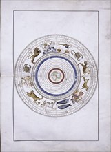
HRM19E09_122
Zodiac as spheres with the earth in the center (fr...
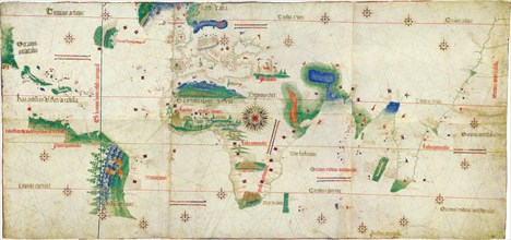
HRM19E20_131
The Cantino planisphere, 1502. Artist: Anonymous m...
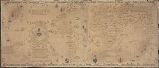
HRM19E20_132
World Map (Propoganda), 1529. Artist: Ribeiro, Dio...
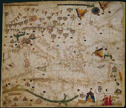
HRM19E53_337
Nautical chart of the Mediterranean Sea, 1508.
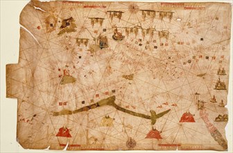
HRM19E20_128
Carta Pisana, ca 1275-1300. Artist: Anonymous mast...
HRM19E20_483