216 results for: cartography
- Page
-
- of
- 3
Please sign in for more results
LZT26B34_052
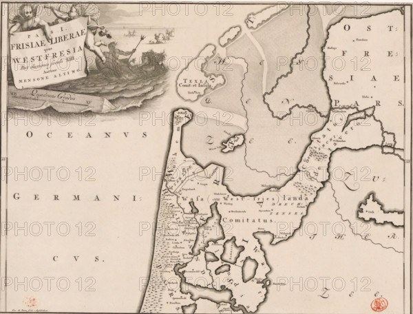
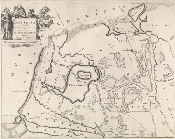
Pars I Frisiae Liberae quae Westfresia, Historical...
LZT26A74_457
Atlas Silesiae id est Dvcatvs Silesiae generallite...

LZT26A74_458
Atlas Silesiae id est Dvcatvs Silesiae generallite...
LZT26A39_383
Allard, Hugo (1620–1684), cartographer; Wit, Frede...
LZT26A06_301
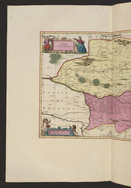
Le comte de Perigort; Schenck, Pieter 1660-1711 pu...
LZT26A06_302
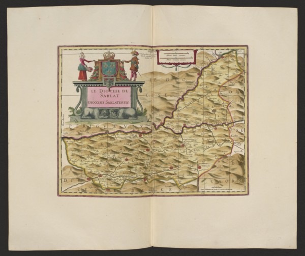
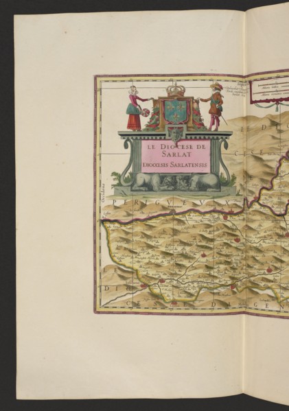
Le Diocese de Sarlat = Diocesis Sarlatensis; Schen...
LZT26A06_311
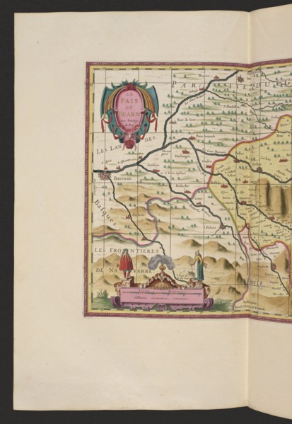
Le pays de Béarn; Pieter Schenck 1660–1711 and Ger...
LZT26A06_304
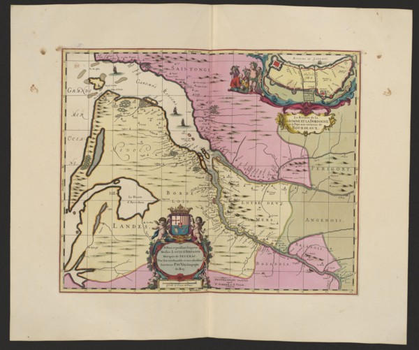
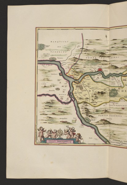
La Riviere de la Garomne et la Dordogne et la pays...
LZT26A06_303
Le Diocese de Sarlat = Diocesis Sarlatensis; Piete...
LZT26A06_296
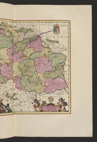
Diocese du Mans, vulgo le Maine, ubi olim Cenomani...
LZT26A06_305
La Riviere de la Garomne et la Dordogne et la pays...
LZT26A06_297
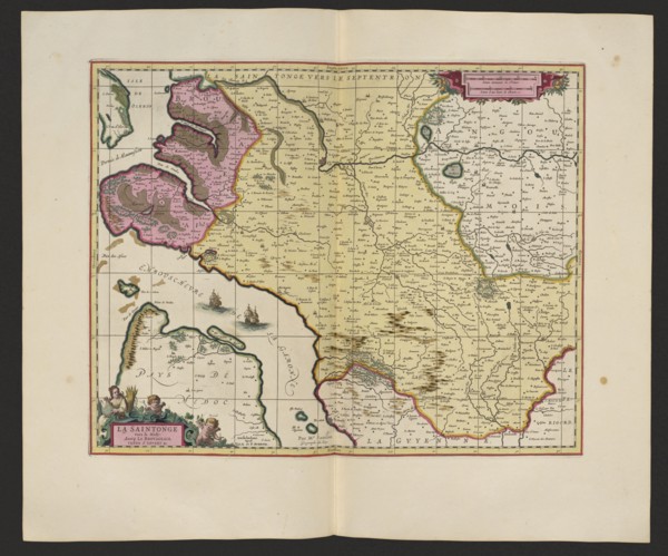
La Saintonge vers le Midy auecq. le Brovageais, te...
LZT26A06_308
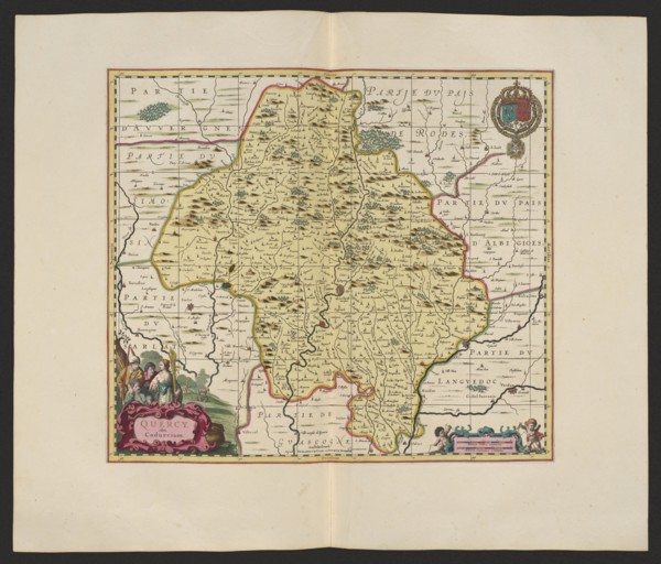
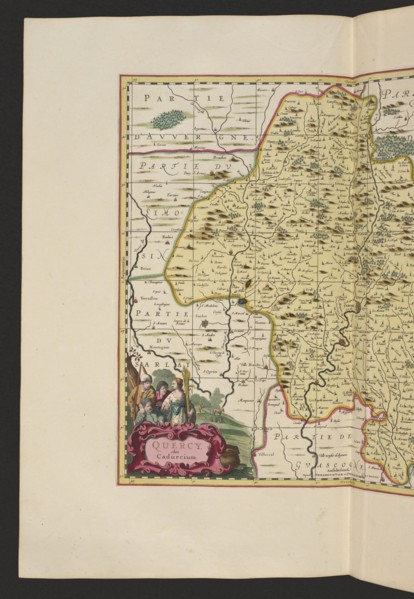
Quercy olim Cadurcium; Gerard Valck 1651/1652–1726...
LZT26A06_307
Le duché d'Aiguillon, Schenck, Pieter 1660–1711 cr...
LZT26A06_299
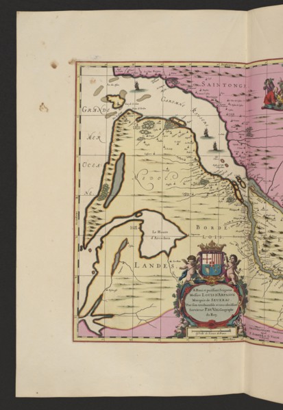
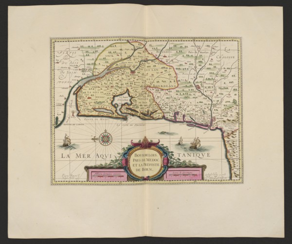
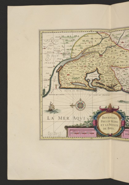
Bovrdelois, Pays de Médoc et la prevosté de Born; ...
LZT26A06_300
Bovrdelois, Pays de Médoc et la prevosté de Born; ...
LZT26A06_309
Quercy olim Cadurcium, Valck, Gerard 1651 aut 1652...
LZT16A02_307
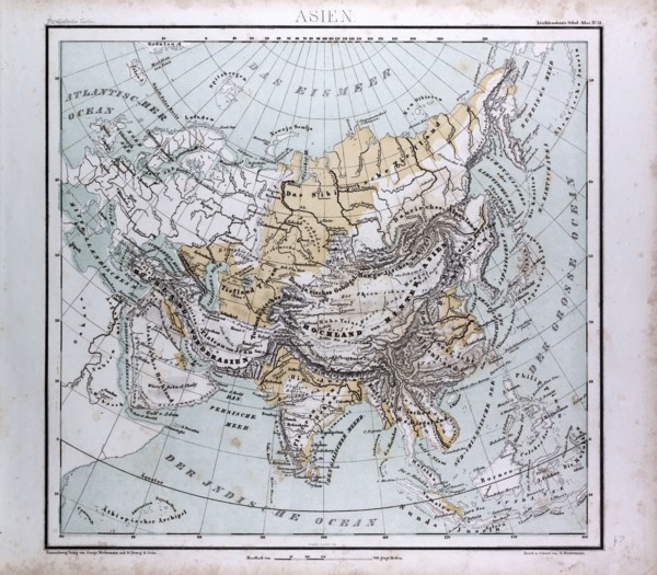
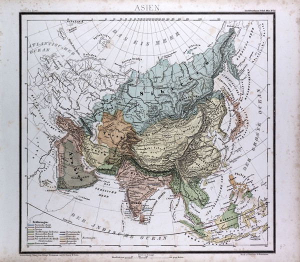
Asia Map, atlas by Th. von Liechtenstern and Henry...
LZT16A02_316
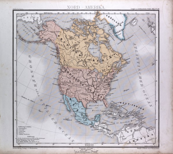
North America Map, atlas by Th. von Liechtenstern ...

LZT16A24_167
Allegory of the Brabant Revolution, 1791, Anonymou...
LZT16A27_338
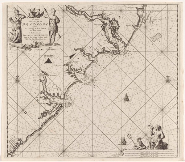
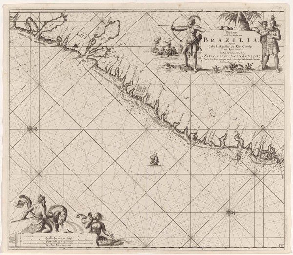
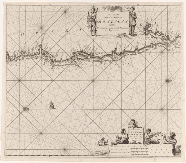
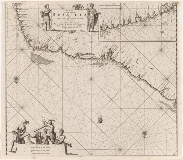
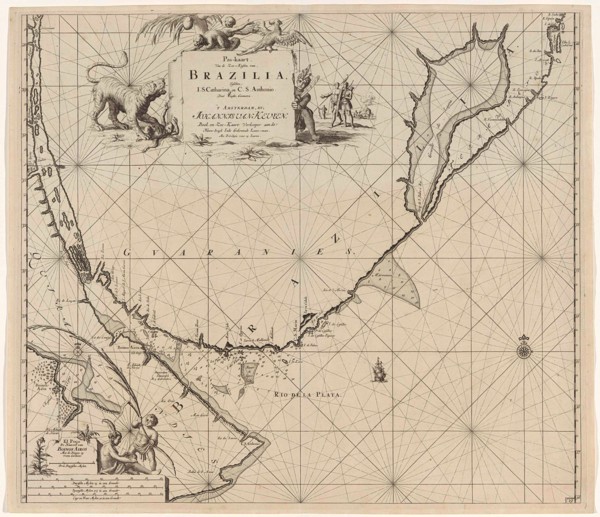
Sea chart of part of the coast of Brazil, Jan Luyk...
LZT16A28_346
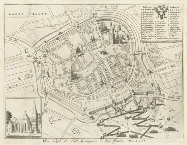
Map of Groningen during the siege, 1594, The Nethe...
LZT16A27_412
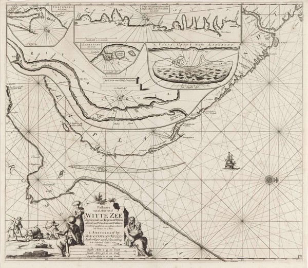
Sea chart of part of the coast of the Kola peninsu...
LZT16A27_430
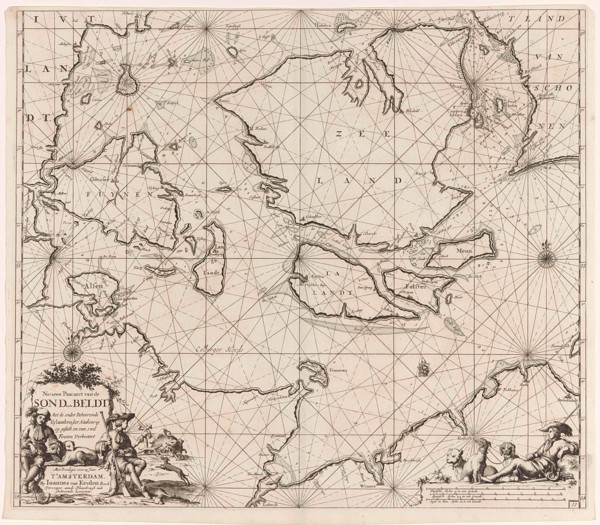
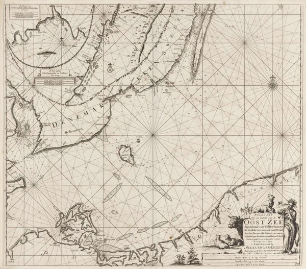
Sea chart of the Danish Islands, part of the coast...
LZT16A27_439
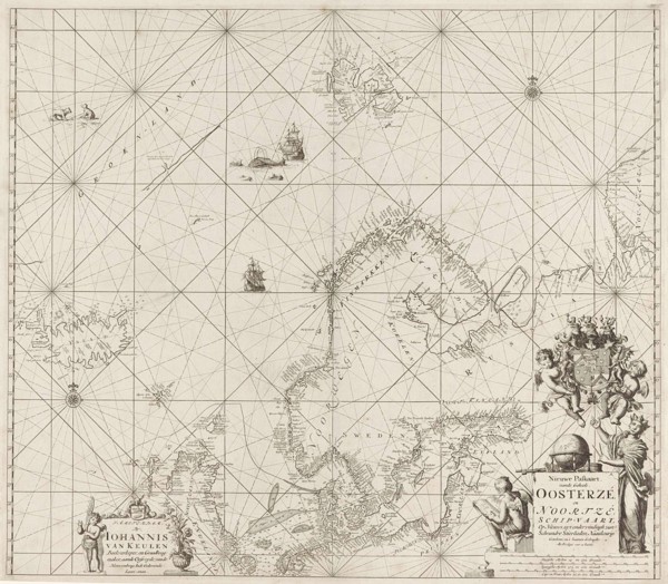
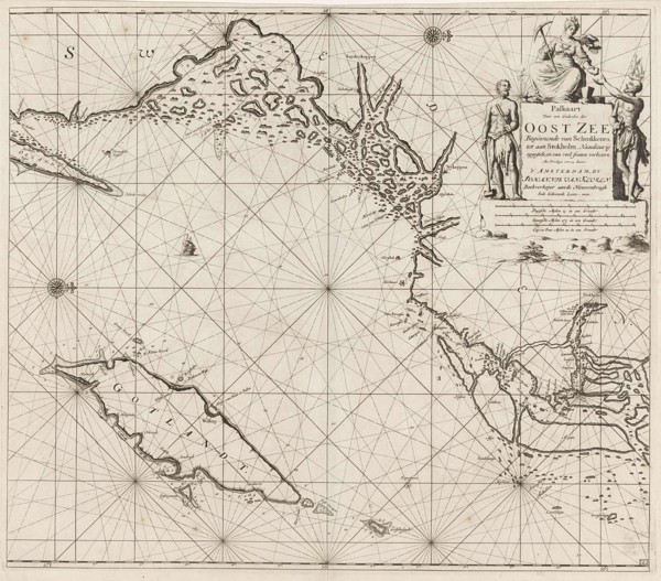
Sea chart of the Baltic and North Sea, Jan Luyken,...
LZT16A25_273
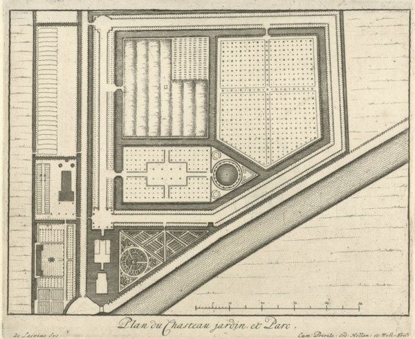
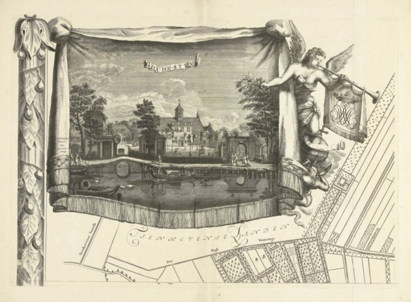
Map of estate Gunterstein, Breukelen, Joseph Mulde...
LZT16A27_349
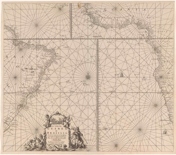
Sea chart of the southern part of the Atlantic coa...
LZT16A27_385
Sea chart of part of the coast of Brittany, Anonym...
LZT16A27_394
Sea chart of part of the south coast of Brittany, ...
LZT16A27_403
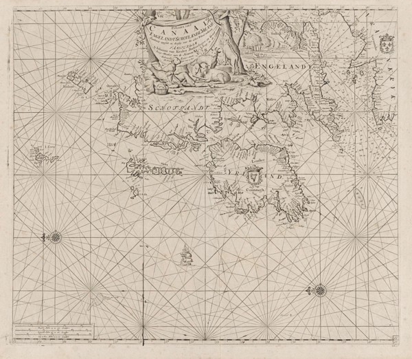
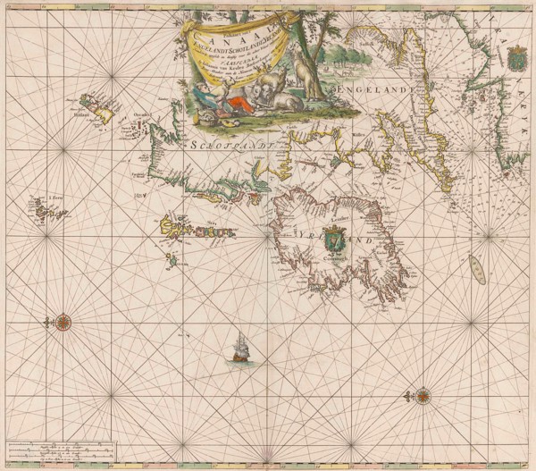
Sea chart of the coast of Ireland, Scotland, Engla...
LZT16A27_421
Sea chart of the southern part of the Baltic Sea, ...
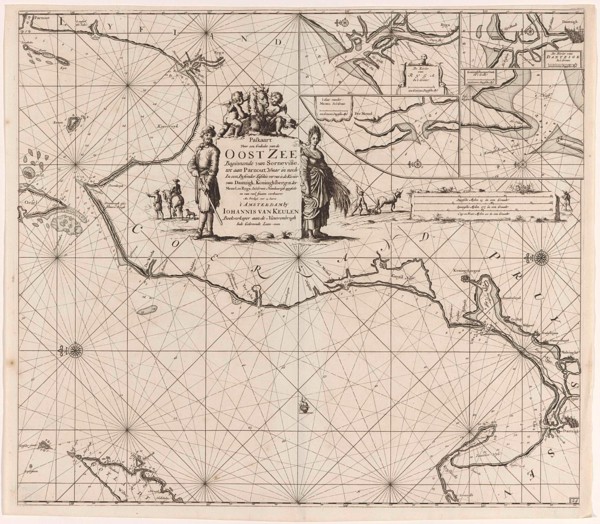
LZT16A27_448
Sea chart of the coasts of England, Scotland and I...

LZT16A29_387
Coat of arms of Michiel ten Hove, Romeyn de Hooghe...
LZT16A02_306
Asia Map, atlas by Th. von Liechtenstern and Henry...
LZT16A02_317
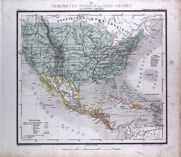
North American and Central America, atlas by Th. v...
LZT16A27_339
Sea chart of part of the east coast of Brazil, pri...
LZT16A32_105
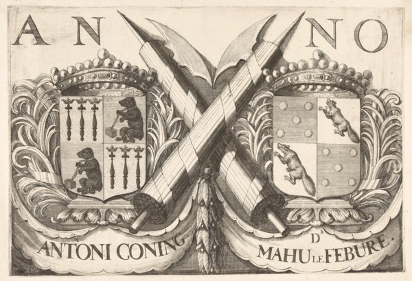
Coat of arms of Antoni Coning (mayor of Haarlem?) ...
LZT16A27_413
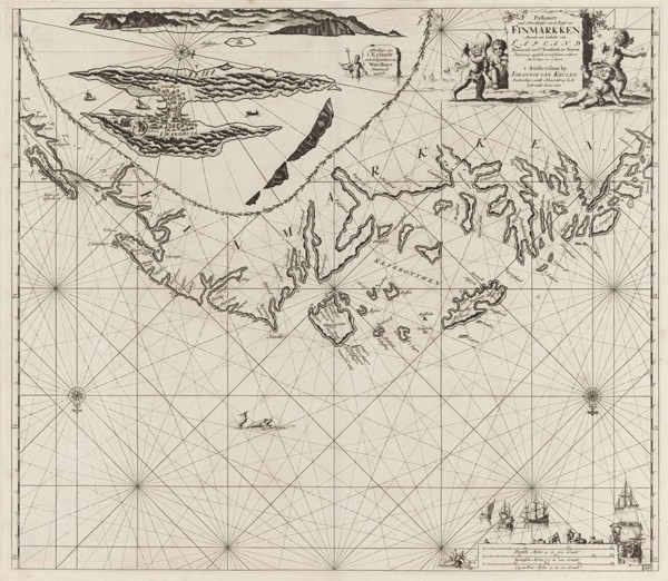
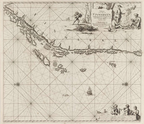
Sea chart of part of the coast of Finnmark, Jan Lu...
LZT16A27_431
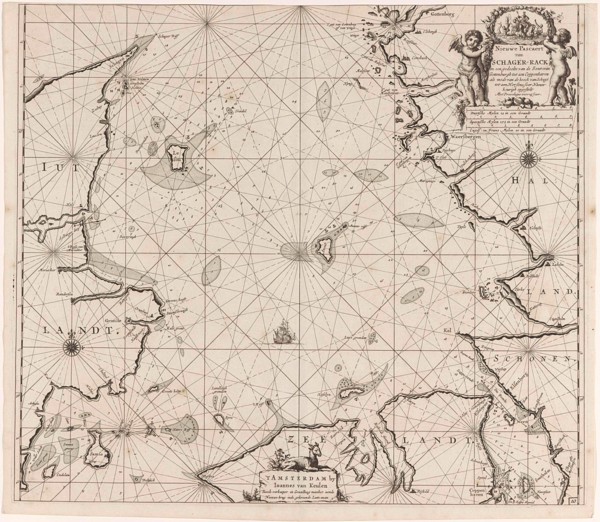
Sea chart of Denmark in the Skagerrak and Kattegat...
LZT16A31_437
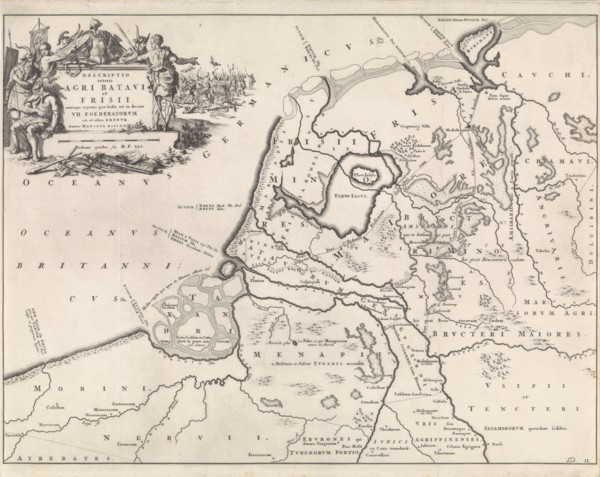
Historical map of Netherlands with the areas of th...
LZT16A27_348
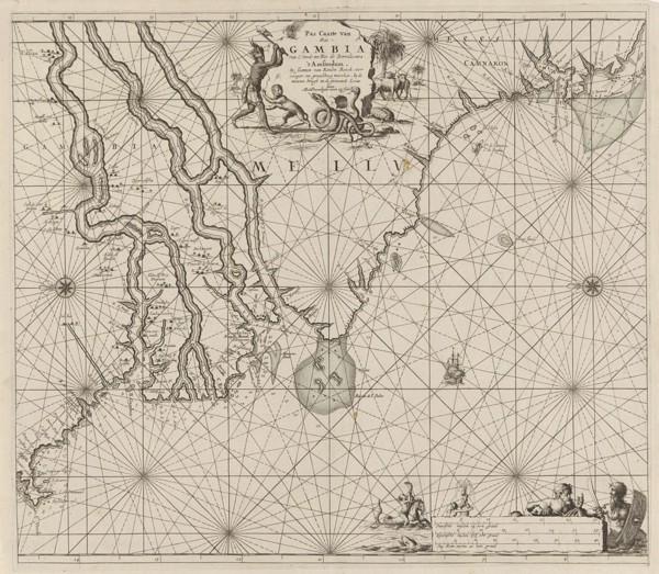
Sea chart of the coast of Gambia and part of the c...
LZT16A27_384
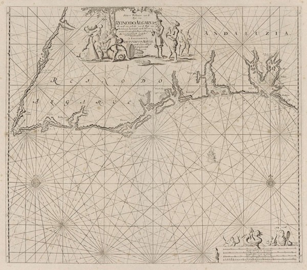
Sea map of part of the south coast of Portugal and...
LZT16A27_395
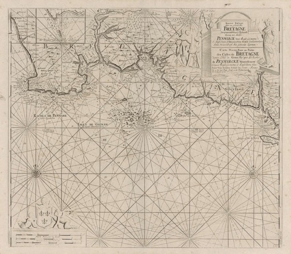
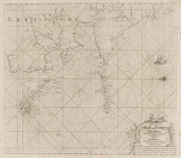
Map of the west coast of Brittany, Anonymous, Clae...
LZT16A27_402
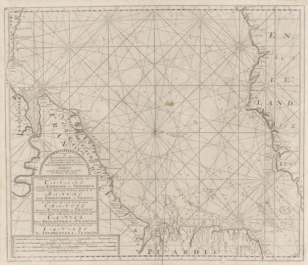
Sea chart of the Channel between England and Franc...
LZT16A27_420
Sea chart of the northwestern part of the Baltic S...
LZT16A27_449
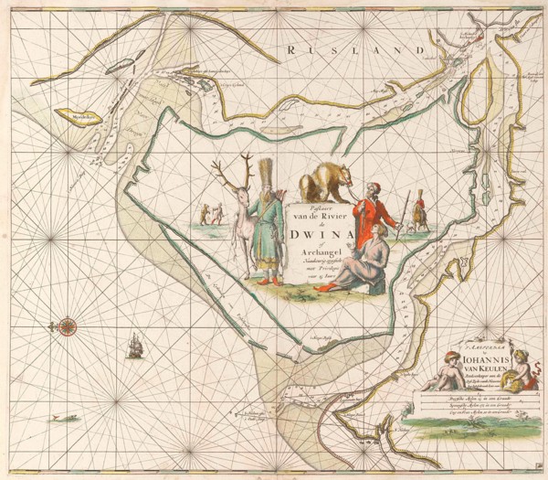
Sea chart of the Northern Dvina River, Jan Luyken,...
LZT16A27_340
Sea chart of the east coast of Brazil, Jan Luyken,...
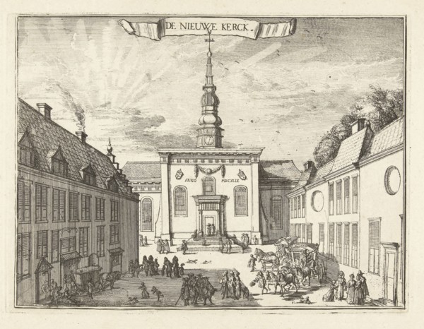
LZT16A32_101
View of the New Church in Haarlem, The Netherlands...
LZT16A02_287
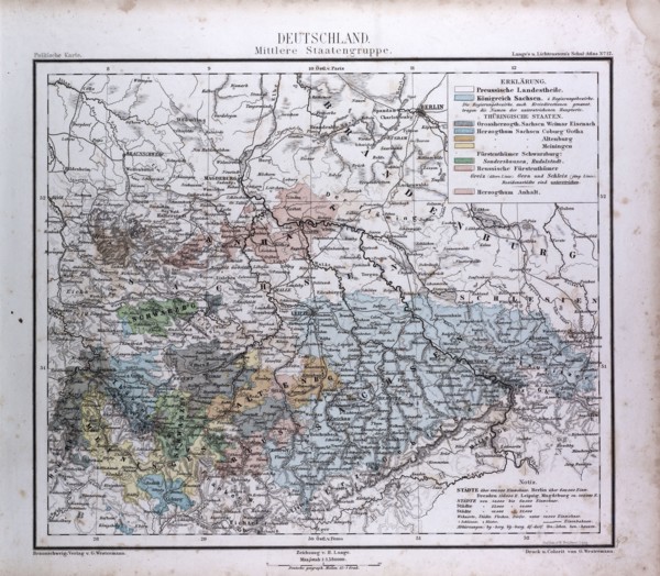
Germany, Deutschland, atlas by Th. von Liechtenste...
LZT16A02_296
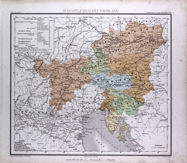
South East Germany, Sudostliches Deutschland, atla...
LZT16A27_414
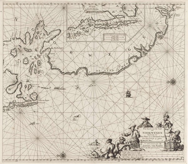
Sea chart of part of the Norwegian coast, Norway, ...
LZT16A27_441
Sea chart of part of the coast of Ireland, England...
LZT16A31_376
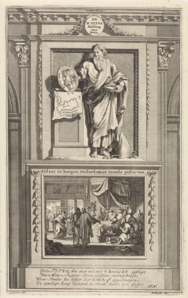
H. Titus, Jan Luyken, Zacharias Chatelain (II), Fr...
LZT16A31_438
Historical map of the Netherlands at the time of t...
LZT16A27_351
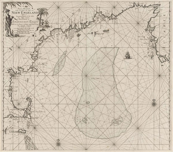
Sea chart of part of the east coast of the United ...
LZT16A27_383
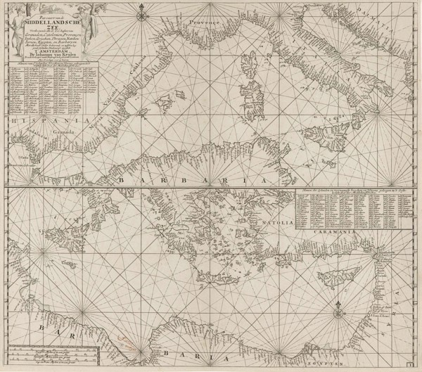
the Mediterranean Sea Map with over the western an...
LZT16A27_392
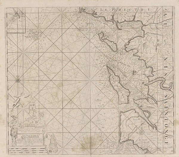
Sea chart of Saintonge and Aunis, Anonymous, Claes...
LZT16A27_405
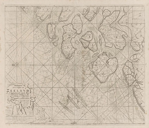
Sea chart of the Zeeland Islands and part of the N...
LZT16A27_419
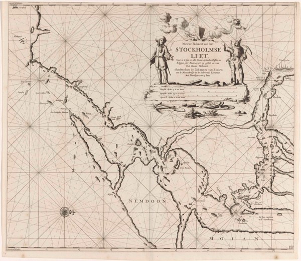
Map of the waters around Stockholm, Jan Luyken, Jo...
LZT16A27_428
Sea chart of part of the coast of Norway, print ma...
LZT16A27_450
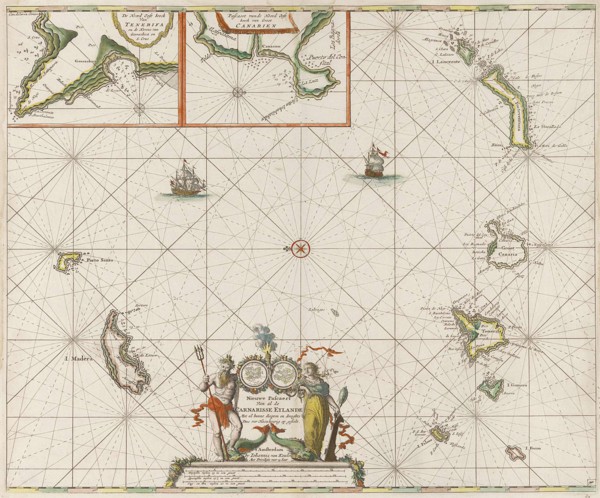
Sea chart of the Canary Islands, print maker: Jan ...

LZT16A29_389
Mercury, Romeyn de Hooghe, 1688 - 1689
LZT16A27_341
Sea chart of a portion of the northeast coast of B...
LZT16A27_451
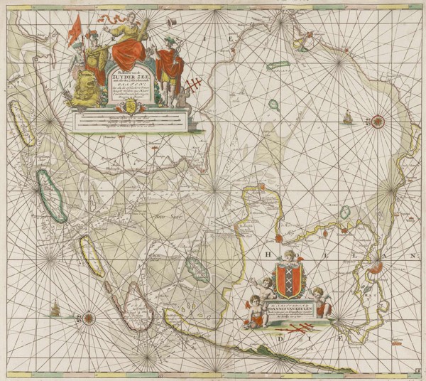
Sea chart of the Zuiderzee and the Wadden Sea, Jan...
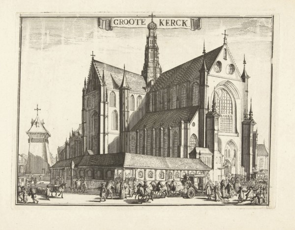
LZT16A32_102
View of the Grote Kerk, Haarlem, Netherlands, Rome...
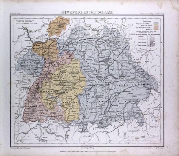
LZT16A02_297
South West Germany, Sudwestliches Deutschland, atl...
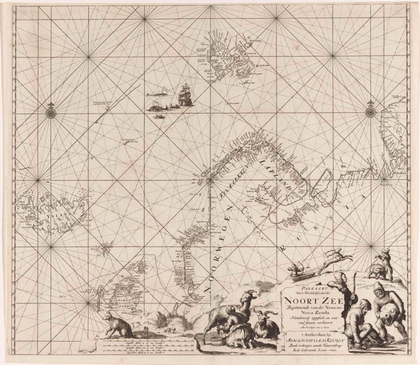
LZT16A27_415
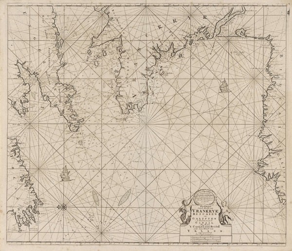
Sea chart of Northern part of Atlantic and Arctic ...
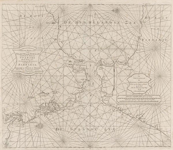
LZT16A27_440
Sea chart of the Strait of Gibraltar, Anonymous, J...
LZT16A31_439
Historical map of the Netherlands at the time of t...
LZT16A02_286
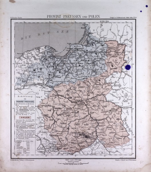
Germany, Prussia, Poland, atlas by Th. von Liechte...
LZT16A27_350
Sea chart a part of the coast of northern Canada a...
LZT16A27_393
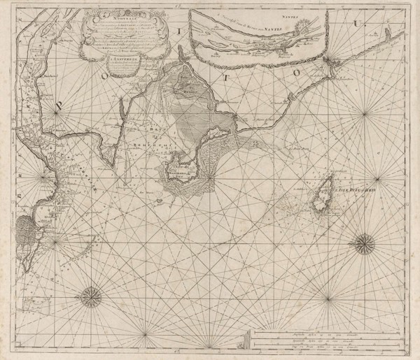
Sea chart of the coast of France between the islan...
LZT16A27_404
Sea chart of part of the east coast of England at ...
LZT16A27_418
Sea chart of a portion of the Baltic coast of Pola...

LZT16A29_388
Diana, Romeyn de Hooghe, 1688-1689
LZT16A31_414
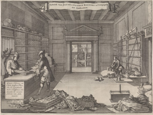
Address Map of Jacob & George Roeters and Company ...
LZT16A33_236
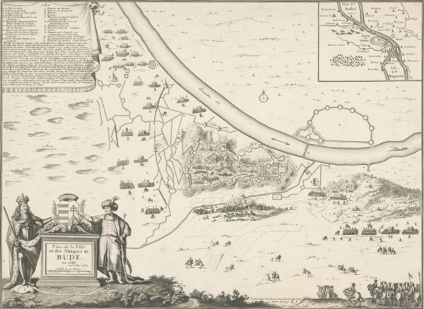
Map of Buda, 1686, Harmanus van Loon, Lodewijk XIV...
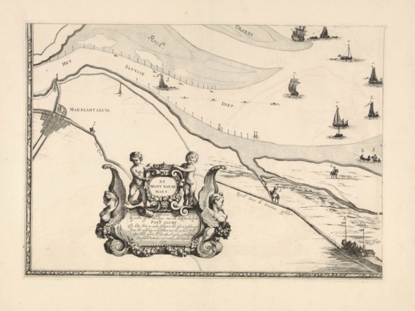
LZT16A39_340
Map of Maassluis and the banks of the Meuse, The N...
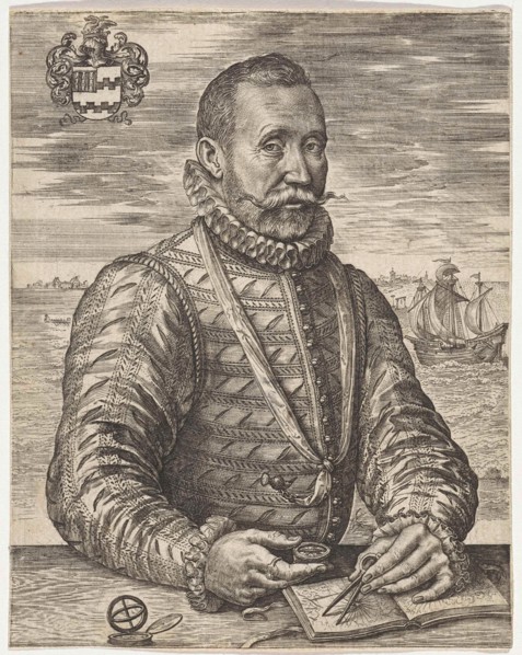
LZT16A25_354
Portrait of a naval officer William Bloys van Tres...
LZT16A27_335
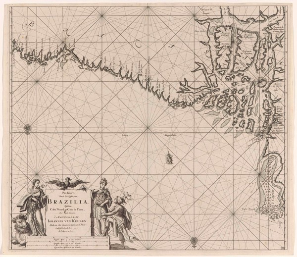
Sea chart of part of the coast of Brazil, Uruguay ...
LZT16A27_342
Sea chart of part of the coast of Brazil with the ...
LZT16A27_353
Sea chart of part of the east coast of the United ...
LZT16A27_443
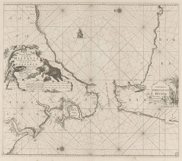
Map of the south of Spain and Portugal, Johannes C...
LZT16A32_108
Part of the plan of Haarlem, The Netherlands, Rome...
LZT16A27_408
Sea chart of the Atlantic Ocean to the west coast ...
LZT16A27_381
Sea chart of the Strait of Gibraltar, Jan Luyken, ...
LZT16A27_399
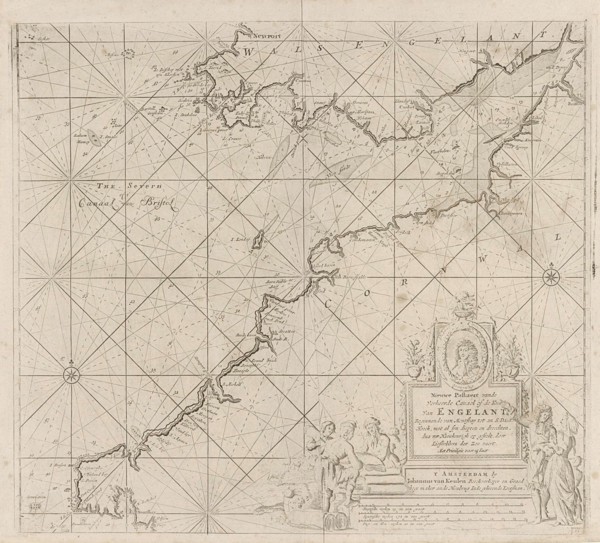
Sea chart of the Bristol Channel, Jan Luyken, Anon...
LZT16A27_425
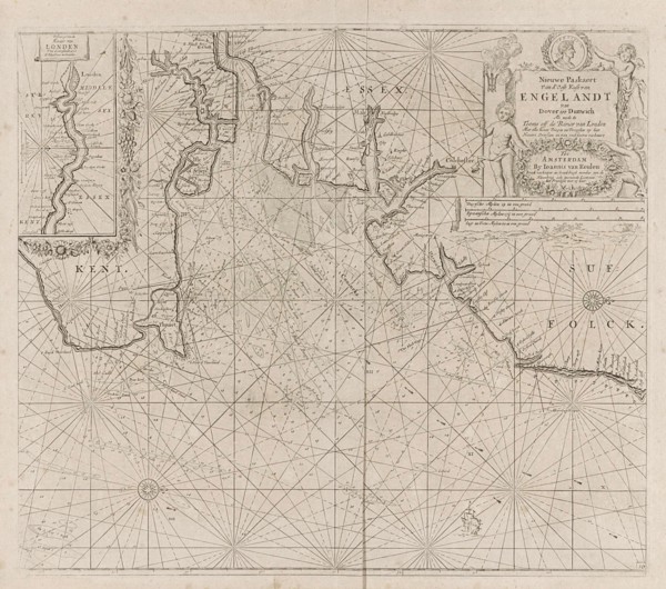
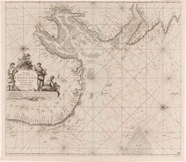
Sea chart of the east coast of England, with the m...
LZT16A27_434
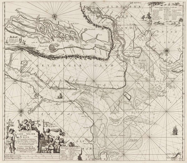
Sea chart of part of the Elbe, the Weser and Jadeb...
LZT16A29_385
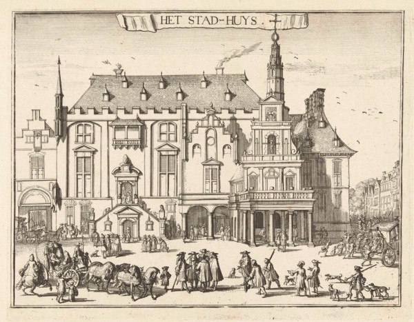
View of the city hall in Haarlem, The Netherlands,...
LZT16A37_337
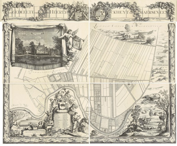
Map of the heerlijkheid Maarsseveen, The Netherlan...
LZT16A39_341
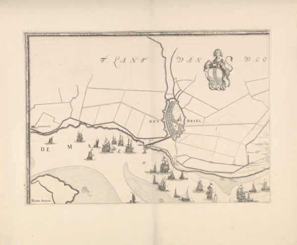
Map of Brielle and the banks of the Meuse, The Net...
LZT16A24_278
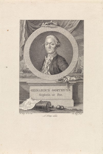
Portrait of Gerardus Oorthuys, Robbert Muys, Jan K...
LZT16A27_343
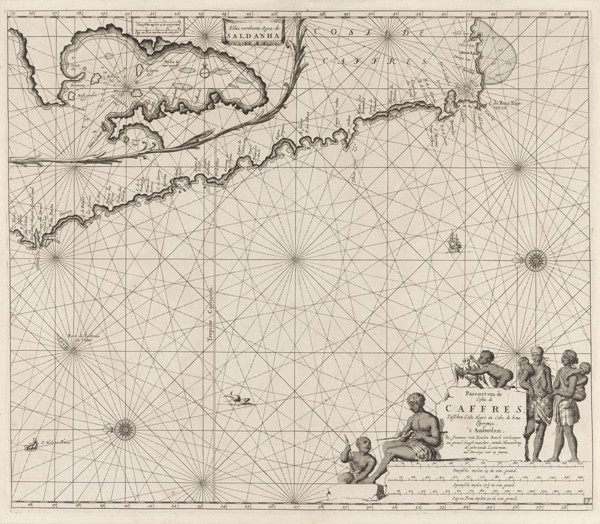
Sea chart of the coast of Namibia and South Africa...
LZT16A27_442
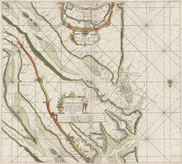
Sea chart of the Garonne, France, Johannes van Keu...
LZT16A31_305
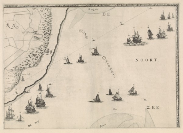
Map of the North Sea and the coast of Holland, Jac...
LZT16A32_103
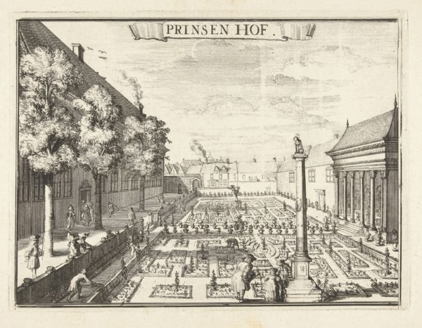
View of the Prinsenhof in Haarlem, The Netherlands...
LZT16A38_253
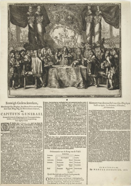
Presentation and description of the appointment of...
LZT16A25_302
Map of the heerlijkheid Maarsseveen, The Netherlan...
LZT16A27_352
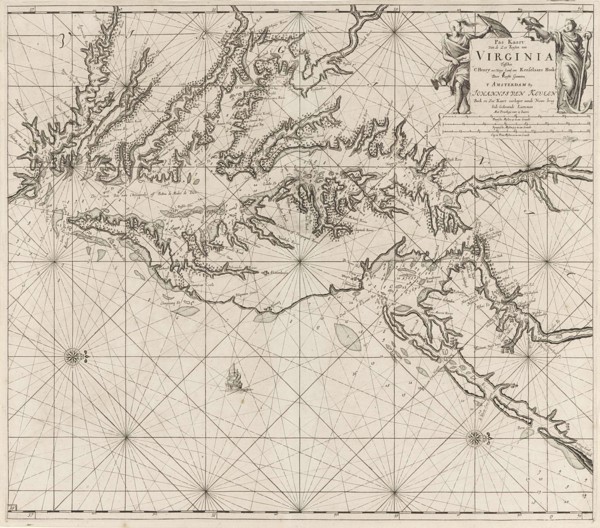
Sea chart of part of the coast of Virginia, Jan Lu...
- Page
-
- of
- 3