Caption
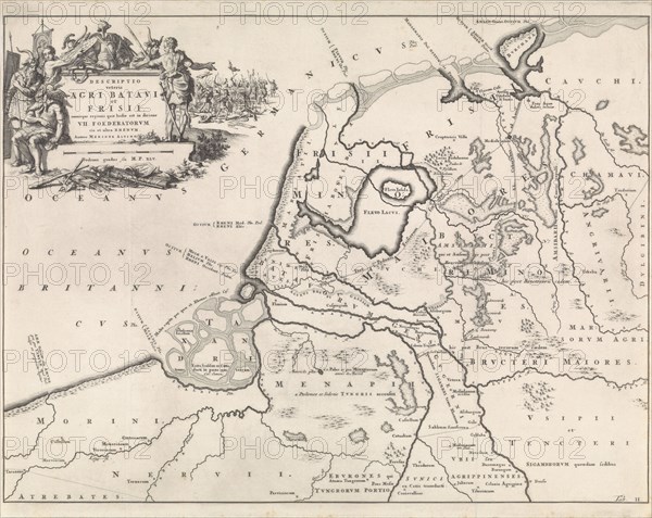
Historical map of the Netherlands at the time of the Batavians and Frisians II, Jan Luyken, Henricus Wetstein, 1697
Date
1697
Credit line
Photo12/Liszt Collection/Quint Lox Limited
Reference
LZT16A31_438
License type
Rights managed
Available size
115.8Mb (4.9Mb) / 23.8in x 18.9in / 7130 x 5678 (300dpi)