76 résultats pour : mapping
- Page
-
- sur
- 1
Connectez-vous pour plus de résultats
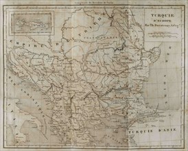
UMG24A04_262
European Turkey map by Thunot Duvotenay. Historia ...
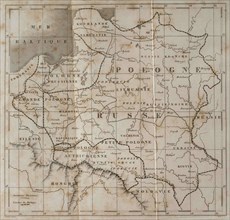
UMG24A04_265
General map of Poland. Engraved by Lemaitre. Histo...
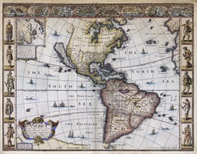
UMG23A63_006
Map of America.
UMG22A40_215
1991 - The northern hemisphere is displayed in thi...
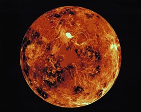
UMG22A40_214
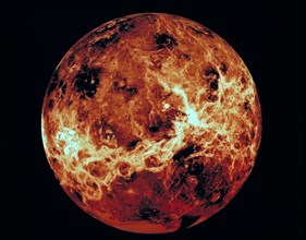
1991 - This global view of the surface of Venus is...
UMG22A32_127
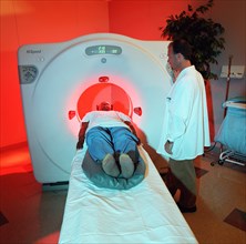
Benefit from NASA - Cat Scan X-Ray Machine ca. 200...
UMG21A23_101
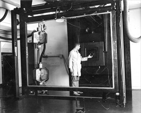
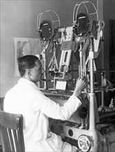
Jay Prendergast adjusts the lens on a Robertson 48...
UMG21A15_460
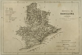
Map. Province of Barcelona.
UMG21A15_450
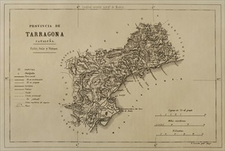
Map. Province of Tarragona.
UMG21A15_393
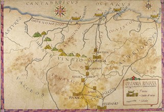
Map of Cantabria.
UMG21A15_444
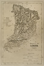
Map. Province of Lleida.
UMG21A06_358
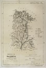
Spain, Map of the province of Palencia
UMG21A06_365
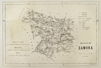
Spain, Map of the province of Zamora
UMG21A06_381
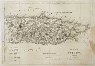
Spain, Map of the province of Oviedo
UMG21A06_348
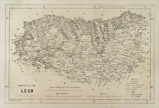
Spain, Map of the province of Leon
UMG21A06_374
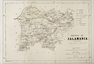
Spain, Map of the province of Salamanca
UMG21A06_397
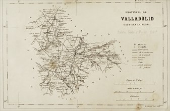
Spain, Map of the province of Valladolid
UMG20B38_187
Map of the Canary Islands and the west coast of Af...
UMG20B38_190
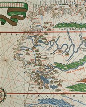
American west coast (Peru, Ecuador and Colombia).
UMG20B36_195
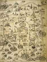
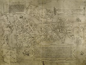
Italy. Cities of Mantua, Bologna, Venice, Modena, ...
UMG20B36_196
Map of the British Isles. 16th century. 1543
UMG20B36_200
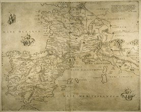
Iberian Peninsula, France and northern Italy.
UMG20B36_186
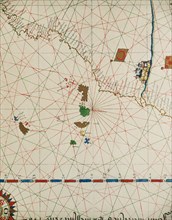
Map of the cities of North Africa. 16th century.
UMG20B36_187
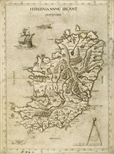
Hybernia Nunc Irlant. Ireland. Map.
UMG20B24_324
History by Polybius, Volume IV
UMG20B24_340
History by Polybius, Volume V, 1729
UMG20B24_453
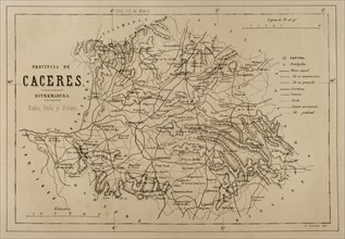
Map of the province of Caceres, Extremadura, Spain...
UMG20B25_018
Spain, Andalusia
UMG20B24_315
History by Polybius, Volume III
UMG20B25_009
Spain, Andalusia, Map of the Huelva province
UMG20B24_469
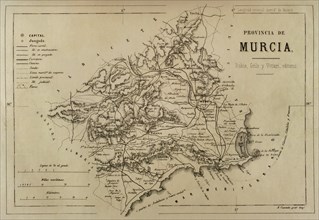
Map of the province of Murcia, Cronica General de ...
UMG20B24_464
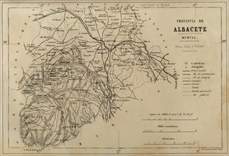
Map of the province of Albacete, which belonged at...
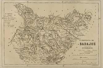
UMG20B24_459
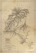
Map of the province of Badajoz, Extremadura, Spain
UMG20A99_477
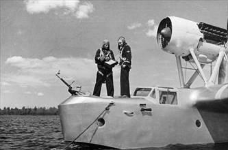
Northern fleet, soviet naval reconnaissance plane ...
UMG20A12_341
Aerocartograph Mapping
UMG20A19_164
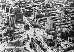
Aerial View Of Columbus Circle
UMG20A00_375
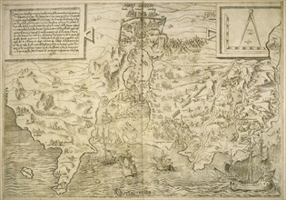
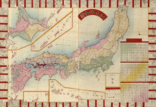
Japan with Points of Interest & table of Counties ...
UMG12A04_170
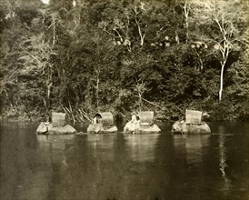
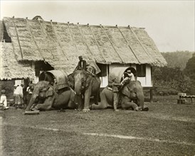
Perak river elephants. Elephants laden for a trigo...
UMG12A04_181
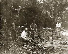
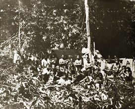
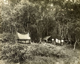
Sheffield's' jungle camp, Malaysia. Sheffield', a ...
UMG12A07_430
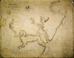
Map of Mombas Island, 1827. A map of the island an...
UMG12A04_171
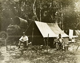
British survey camp. Trigonometrical survey camp o...
UMG12A04_180
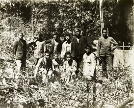
Paying hired Malaysian tribal guides. A large grou...
UMG12A14_290
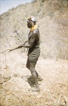
Lotuke clears the bush'. A Suk porter called Lotuk...
UMG12A04_172
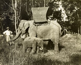
A laden elephant and her calf, Malaysia. A cow ele...
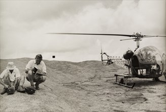
UMG12A02_387
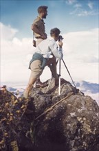
Surveying with a Bell 47G helicopter. Two men crou...
UMG12A04_173
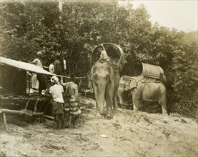
Laden elephants, Malaysia. Working elephants, lade...
UMG12A12_033
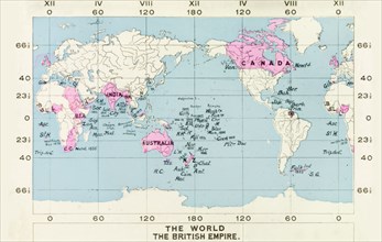
Map of the British Empire, 1914. The territories o...
UMG12A04_155
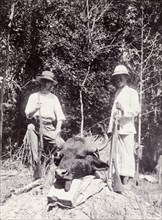
Hunting trophy, Malaysia. F. Chapman, British trig...
UMG12A04_164
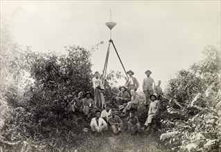
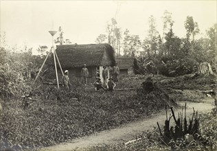
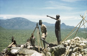
Berbam base line survey team. Trigonometrical beac...
UMG12A04_166
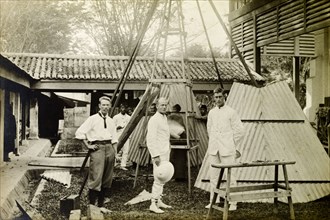
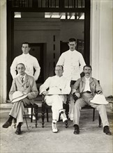
Trigonometrical Survey Office, Taipang. British su...
UMG12A04_165
British surveying team on the Bernam base line. Mi...
UMG12A04_167
British surveying team at Bukit Asa. British surve...
UMG12A04_176
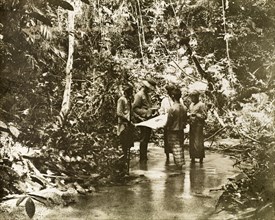
Surveying in the Kenering Valley.. A European surv...
UMG12A04_168
British survey officers, Malaysia. British officer...
UMG12A04_179
Malay surveying assistants. Malay assistants outsi...
UMG12A14_274
On the summit of Mount Napak. District Forestry Of...
UMG12A01_051
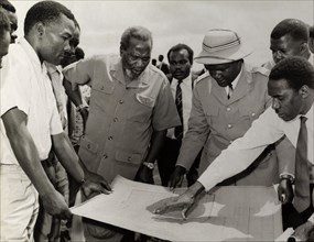
Jomo Kenyatta meets town planners. Farm planners g...
UMG12A04_169
Trigonometrical survey camp at Tali Kail. Trigonom...
UMG12A04_160
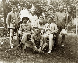
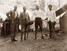
Directors of Anglo-Siamese Boundary Demarcation sh...
UMG12A07_433
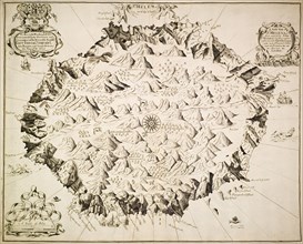
Map of St Helena, circa 1700. A labelled map of St...
UMG12A14_153
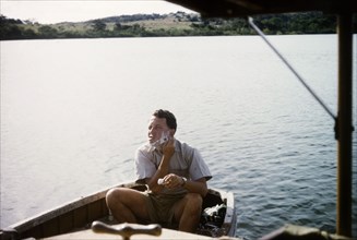
Shaving on Lake Victoria. District Forest Officer ...
UMG12A04_162
The Anglo-Siamese Boundary Demarcation Commission....
UMG12A07_431
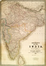
Cruchley's map of India, 1857. A map of India, det...
UMG12A04_174
Loading of elephants, Malaysia. Elephants being lo...
UMG12A04_185
Malay assistant surveyors and porters. Malay assis...
UMG12A14_183
Henry Osmaston takes a bearing'. Accompanied by Su...
UMG12A04_175
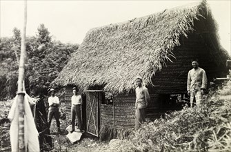
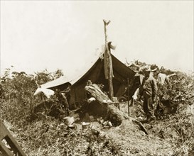
Bintang-Kendrong boundary camp. British surveyor a...
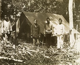
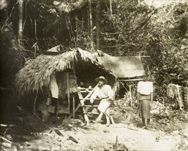
UMG12A04_184
British survey camp at Bintang, Malaysia. Trigonom...
UMG12A14_184
Henry Osmaston surveys Pcholio Peak. Henry Osmasto...
UMG12A04_158
Anglo-Siamese Boundary Demarcation Commission. Sen...
UMG12A14_152
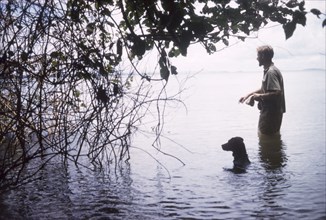
Beware of hippo'. Accompanied by his dog, District...
UMG12A14_185
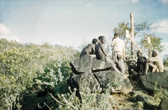
Surveying in the Karasuk hills. Accompanied by Suk...
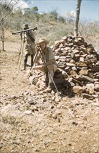
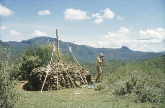
UMG12A14_291
Surveying with 'kituti' markers. District Forest O...
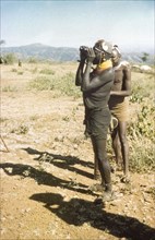
UMG12A14_294
Lotuke with binoculars. Lotuke, a Suk porter worki...
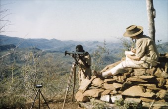
UMG12A14_292
Elisabeth Lang Brown records survey data. Elisabet...

UMG12A14_293