Légende
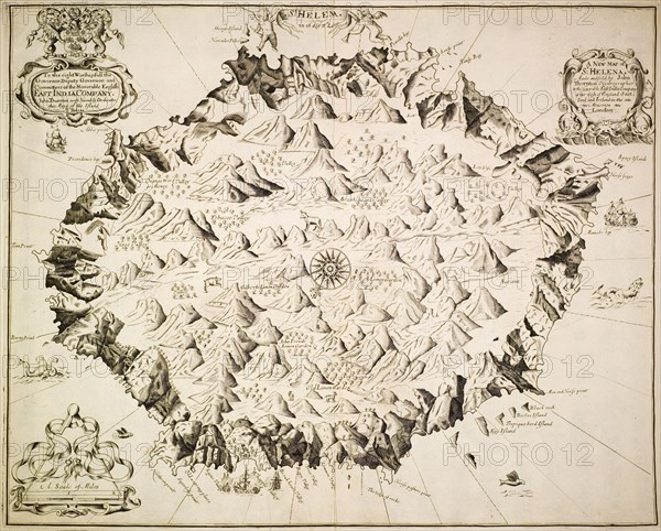
Map of St Helena, circa 1700. A labelled map of St Helena, produced for the Governor and committee members of the British East India Company. St Helena, circa 1700. St Helena, Atlantic Ocean, Africa.
Crédit
Photo12/Universal Images Group
Notre référence
UMG12A07_433
Licence
Droits gérés
Format disponible
51.8Mo (3.5Mo) / 40.2cm x 32.3cm / 4747 x 3815 (300dpi)